
1960 Map of Fairbury
USGS Topo · Published 1962About this map
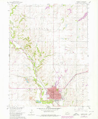
The Little Blue River cuts a wide valley through the Jefferson County landscape, serving as the central corridor for both rail and road transit at the start of the 1960s. The city of Fairbury serves as a dense hub of civic and educational life, anchored by a cluster of landmark buildings including the Courthouse, City Hall, and the Post Office. The city’s institutional footprint is particularly visible through its concentrated school system, ranging from the Jr College and High School to local neighborhood sites like West Ward School.
Find a feature on this map
42 named features on this map. Tap any name to fly to it.
Don’t see what you’re looking for? This feature index may not catch every label — zoom into the map to look around manually.
Map Details
Editions of this 1960 Fairbury Map
2 editions found
Other maps of this area

1955 · Lincoln
USGS Topo · 1:250,000

1957 · Lincoln
USGS Topo · 1:250,000

1958 · Lincoln
USGS Topo · 1:250,000

1960 · Fairbury SW
USGS Topo · 1:24,000

1960 · Reynolds
USGS Topo · 1:24,000

1960 · Western SW
USGS Topo · 1:24,000
1960 · Gladstone
USGS Topo · 1:24,000

1960 · Daykin
USGS Topo · 1:24,000

1961 · Western SE
USGS Topo · 1:24,000
1970 · Endicott
USGS Topo · 1:24,000