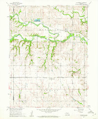
1960 Map of Gladstone
USGS Topo · Published 1962About this map
Little Blue River valley and its surrounding prairie uplands define this Jefferson County landscape, where the confluence with Big Sandy Creek provided a natural corridor for early development. The settlement at Powell is centered along the Union Pacific rail line, while further south, the village of Gladstone sits positioned on the Chicago Rock Island and Pacific railroad.
Find a feature on this map
23 named features on this map. Tap any name to fly to it.
Don’t see what you’re looking for? This feature index may not catch every label — zoom into the map to look around manually.
Map Details
Editions of this 1960 Gladstone Map
This is the sole edition of this map. No revisions or reprints were ever made.
Other maps of this area

1955 · Lincoln
USGS Topo · 1:250,000

1957 · Lincoln
USGS Topo · 1:250,000

1958 · Lincoln
USGS Topo · 1:250,000

1960 · Fairbury SW
USGS Topo · 1:24,000

1960 · Reynolds
USGS Topo · 1:24,000

1960 · Hubbell
USGS Topo · 1:24,000

1960 · Western SW
USGS Topo · 1:24,000

1960 · Fairbury
USGS Topo · 1:24,000

1960 · Tobias SW
USGS Topo · 1:24,000

1960 · Alexandria
USGS Topo · 1:24,000