1960 Map of Alexandria
USGS Topo · Published 1962About this map
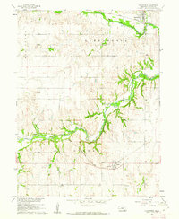
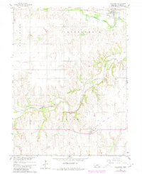
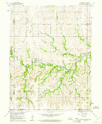
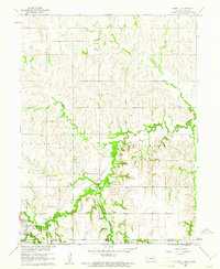
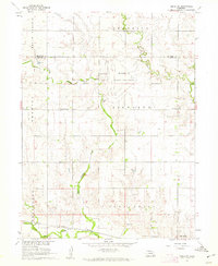
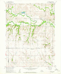
Alexandria and Gilead anchor this 1960s agricultural portrait of Thayer County, where the plains are deeply etched by the winding course of the Little Blue River. The landscape reveals a strictly organized rural society defined by its transportation corridors and social centers, including School No 26 and several community burial grounds like St Marys Cem and Union Cem.
Find a feature on this map
14 named features on this map. Tap any name to fly to it.
Don’t see what you’re looking for? This feature index may not catch every label — zoom into the map to look around manually.
Map Details
Editions of this 1960 Alexandria Map
2 editions found
Other maps of this area

1898 · Hebron
USGS Topo · 1:125,000

1955 · Lincoln
USGS Topo · 1:250,000

1957 · Lincoln
USGS Topo · 1:250,000

1958 · Lincoln
USGS Topo · 1:250,000
1960 · Bruning
USGS Topo · 1:24,000
1960 · Chester
USGS Topo · 1:24,000
1960 · Reynolds
USGS Topo · 1:24,000
1960 · Hubbell
USGS Topo · 1:24,000
1960 · Tobias SW
USGS Topo · 1:24,000
1960 · Gladstone
USGS Topo · 1:24,000