
1960 Map of Daykin
USGS Topo · Published 1962About this map
Agricultural lands in Jefferson and Saline Counties are defined here by a network of sectional roads and the meandering courses of Olive Creek and Little Sandy Creek. The village of Daykin serves as the central hub, situated along the Chicago Burlington and Quincy railroad line which cuts diagonally across the northwestern landscape. This 1960 field-checked survey highlights the township structure of the era, noting boundaries for Olive, Eureka, and Washington.
Find a feature on this map
18 named features on this map. Tap any name to fly to it.
Don’t see what you’re looking for? This feature index may not catch every label — zoom into the map to look around manually.
Map Details
Editions of this 1960 Daykin Map
This is the sole edition of this map. No revisions or reprints were ever made.
Other maps of this area

1955 · Lincoln
USGS Topo · 1:250,000

1957 · Lincoln
USGS Topo · 1:250,000

1958 · Lincoln
USGS Topo · 1:250,000

1960 · Western SW
USGS Topo · 1:24,000

1960 · Fairbury
USGS Topo · 1:24,000

1960 · Tobias SW
USGS Topo · 1:24,000

1960 · Alexandria
USGS Topo · 1:24,000
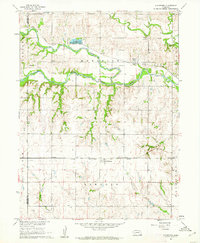
1960 · Gladstone
USGS Topo · 1:24,000

1961 · Tobias
USGS Topo · 1:24,000
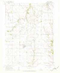
1961 · Ohiowa
USGS Topo · 1:24,000