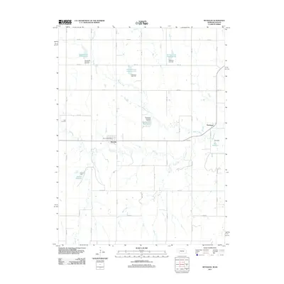
2011 Map of Reynolds
USGS Topo · Published 2011About this map
Reynolds and the surrounding farmland of Jefferson County are defined by an intricate network of water management and rural infrastructure. The village is centered on the Reynolds Post Office, with the surrounding landscape heavily modified by a series of detention and floodwater retarding structures, such as Floodwater Retarding Dam 3-F and Detention Dam 3-D. These engineering works create several distinct water bodies, including Buckley Creek Reservoir 3-A and the smaller Hein Reservoir, designed to manage the flow of Buckley Creek and Rose Creek through the prairie terrain.
Find a feature on this map
27 named features on this map. Tap any name to fly to it.
Don’t see what you’re looking for? This feature index may not catch every label — zoom into the map to look around manually.
Map Details
Editions of this 2011 Reynolds Map
This is the sole edition of this map. No revisions or reprints were ever made.
Other maps of this area

1893 · Washington
USGS Topo · 1:125,000

1955 · Manhattan
USGS Topo · 1:250,000

1955 · Lincoln
USGS Topo · 1:250,000

1956 · Manhattan
USGS Topo · 1:250,000

1957 · Manhattan
USGS Topo · 1:250,000

1957 · Lincoln
USGS Topo · 1:250,000

1958 · Lincoln
USGS Topo · 1:250,000

1960 · Fairbury SW
USGS Topo · 1:24,000

1960 · Reynolds
USGS Topo · 1:24,000

1960 · Hubbell
USGS Topo · 1:24,000