2000s (21st Century) Maps of Axtell, Nebraska
Explore 8 historic maps of Axtell from the 2000s (21st Century). These maps offer a rare glimpse into what life looked like during the 2000s — showing old roads, neighborhoods, homes, and landmarks that have changed or disappeared over time.
Whether you're researching your family's past, planning a metal detecting trip, or studying how Axtell's landscape evolved across the 2000s, these high-resolution maps are a powerful tool for exploring the history of this region.
- Focus on a specific era: All maps on this page are from the 2000s, giving you a focused view of this time period.
- See what’s changed: Compare century-old streets, trails, and buildings to today's modern landscape using overlays and satellite layers.
- Research with precision: Use these maps for genealogy, historical research, land use analysis, or educational projects.
- View, download, or print: Maps are fully viewable online in high resolution, and can be downloaded or printed for your own records.
Start exploring Axtell's history through authentic maps from the 2000s. This is your window into the past.
Axtell, NE maps
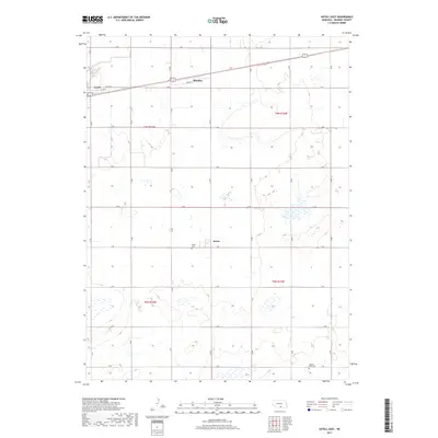
(8)- 2011 Map of Axtell East, 2011 Print
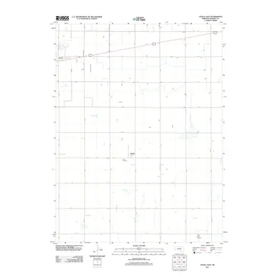 2011 Axtell East2011 Print · USGSCovers Axtell, including Minden, Keene, and other nearby areas
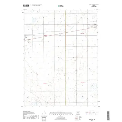
 - 2011 Map of Axtell West, 2011 Print
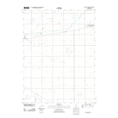 2011 Axtell West2011 Print · USGSCovers Axtell, including Funk, Kearney County, and other nearby areas
 - 2014 Map of Axtell East, 2014 Print
 2014 Axtell East2014 Print · USGSCovers Axtell, including Minden, Keene, and other nearby areas
 - 2014 Map of Axtell West, 2014 Print
 2014 Axtell West2014 Print · USGSCovers Axtell, including Funk, Kearney County, and other nearby areas
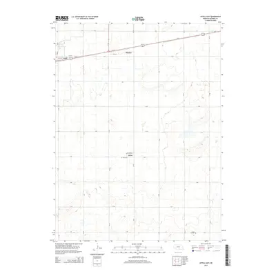
 - 2017 Map of Axtell East, 2017 Print
 2017 Axtell East2017 Print · USGSCovers Axtell, including Minden, Keene, and other nearby areas
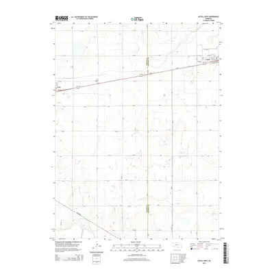
 - 2017 Map of Axtell West, 2017 Print
 2017 Axtell West2017 Print · USGSCovers Axtell, including Funk, Kearney County, and other nearby areas
 - 2021 Map of Axtell East, 2021 Print
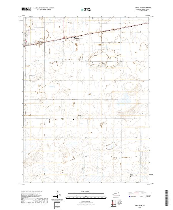 2021 Axtell East2021 Print · USGSKearney County's agricultural heartland is documented here in the early 2020s, showing the precise section-line grid between the communities of Axtell and Minden. Local historians can trace family plots at Keene Cem and Garden Plain Cem or locate the settlement at Keene.
 - 2021 Map of Axtell West, 2021 Print
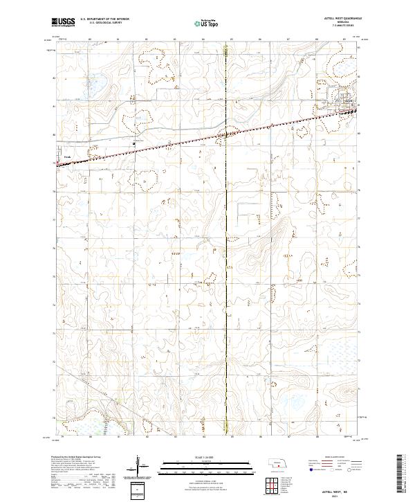 2021 Axtell West2021 Print · USGSThe rural landscape of Phelps and Kearney counties comes into focus during the early twenty-first century, centered on the railroad corridor between Axtell and Funk. Researchers can locate family landmarks like Fridhem Cem and trace the paths of Dry Creek and the Tri-County rail line.
End of results
Showing maps 1-8 of 8
Top cities near Axtell
- Kearney historical maps
- Holdrege historical maps
- Minden historical maps
- Odessa historical maps
- Wilcox historical maps
- Hildreth historical maps
See more
Frequently asked questions
- What are the different types of historical maps available for Axtell?
- What is the oldest map of Axtell?
- Where can I purchase historical maps of Axtell for my home or office?
- Where can I download high-res historical maps of Axtell?
- Are there historical topographic maps available for Axtell?
- Is there historical aerial imagery available for Axtell?
- Where are historical maps of Axtell sourced from?