Old Maps of Axtell, Nebraska for Academic Research
Study the evolution of Axtell with 15 high-resolution historic maps. Whether you're teaching, researching, or modeling changes in land use, these maps provide essential visual documentation of urban, environmental, and geographic change.
- Analyze long-term change: Track patterns in development, transportation, and natural features.
- Ideal for environmental or urban studies: Support academic projects with primary historical map data.
- Use in the classroom or lab: Educators and researchers rely on these maps to bring historical context to life.
These maps are a powerful tool for teaching, research, and visualizing how Axtell has changed over the decades.
Axtell, NE maps
(15)- 1896 Map of Holdrege
 1896 Holdrege1896 Print · USGSSouth-central Nebraska was a burgeoning network of rail towns and river settlements in the late nineteenth century. Genealogists can trace family roots along the Republican River valley in Alma, Bloomington, and Naponee, or explore the early growth of Holdrege as a vital railroad junction.5 unique versions available
 - 1955 Map of Grand Island, 1967 Print
 1955 Grand Island1967 Print · USGSCentral Nebraska is seen here during a period of industrial and agricultural growth, centered on the vital Platte River corridor. Researchers can trace the mid-century footprints of the U S Naval Ammunition Depot and the Cornhusker Ordnance Plant.3 unique versions available
 - 1957 Map of Grand Island
 1957 Grand Island1957 Print · USGSCentral Nebraska and Northern Kansas are shown here during a period of massive hydraulic and military expansion in the mid-fifties. Researchers can trace the development of the Harlan County Reservoir and the massive wartime legacy of the Cornhusker Ordnance Plant.
 - 1958 Map of Grand Island
 1958 Grand Island1958 Print · USGSSouth-central Nebraska thrived as a rail and industrial hub during the late fifties, shaped by the braided Platte River. Genealogists and historians can trace rail lines like the Union Pacific RR through towns such as Kearney or locate the sprawling Cornhusker Ordnance Plant.
 - 1970 Map of Axtell West, 1972 Print
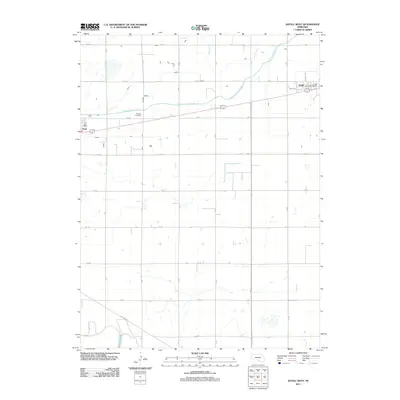
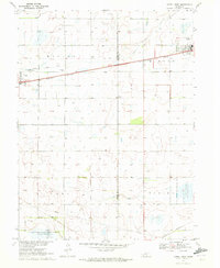 1970 Axtell West1972 Print · USGSThe rural prairie of Phelps and Kearney counties comes into focus in the early 1970s, showcasing the intricate irrigation network of the Mirage Canal. Local researchers can trace the rail corridor of the Burlington Northern through Axtell and Funk, or locate family sites like Fridhem Cem.
 - 1970 Map of Axtell East, 1972 Print
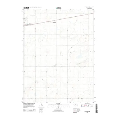
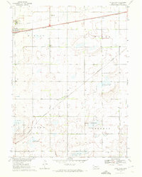 1970 Axtell East1972 Print · USGSKearney County's agricultural heartland is documented in the early seventies as the rail lines and wildlife areas shaped the local landscape. Researchers can locate family sites near Bethpage Mission, Bethany Ch, or the rural Keene Cem.
 - 1986 Map of Holdrege
 1986 Holdrege1986 Print · USGSSouthern Nebraska and the Kansas borderlands appear here in the mid-eighties as a region defined by river valleys and rail-connected agricultural hubs. Trace local history through settlements like Republican City, the Prairie Home Cem, and the waters of Harlan County Lake.2 unique versions available
 - 2011 Map of Axtell East, 2011 Print
 2011 Axtell East2011 Print · USGSCovers Axtell, including Minden, Keene, and other nearby areas
 - 2011 Map of Axtell West, 2011 Print
 2011 Axtell West2011 Print · USGSCovers Axtell, including Funk, Kearney County, and other nearby areas
 - 2014 Map of Axtell East, 2014 Print
 2014 Axtell East2014 Print · USGSCovers Axtell, including Minden, Keene, and other nearby areas
 - 2014 Map of Axtell West, 2014 Print
 2014 Axtell West2014 Print · USGSCovers Axtell, including Funk, Kearney County, and other nearby areas
 - 2017 Map of Axtell East, 2017 Print
 2017 Axtell East2017 Print · USGSCovers Axtell, including Minden, Keene, and other nearby areas
 - 2017 Map of Axtell West, 2017 Print
 2017 Axtell West2017 Print · USGSCovers Axtell, including Funk, Kearney County, and other nearby areas
 - 2021 Map of Axtell East, 2021 Print
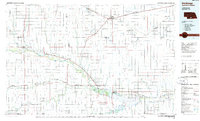
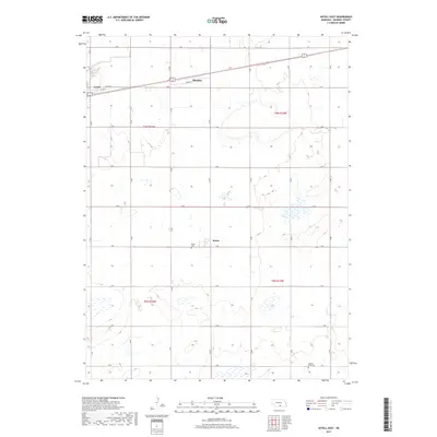
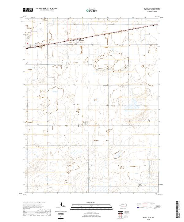 2021 Axtell East2021 Print · USGSKearney County's agricultural heartland is documented here in the early 2020s, showing the precise section-line grid between the communities of Axtell and Minden. Local historians can trace family plots at Keene Cem and Garden Plain Cem or locate the settlement at Keene.
 - 2021 Map of Axtell West, 2021 Print
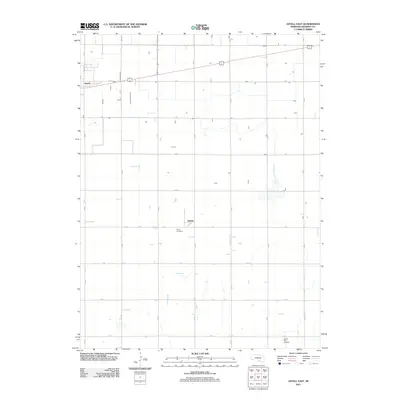
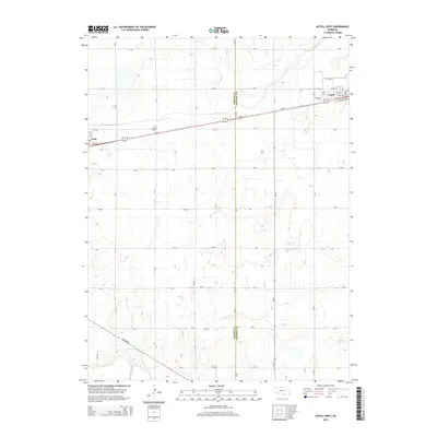
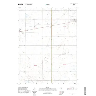
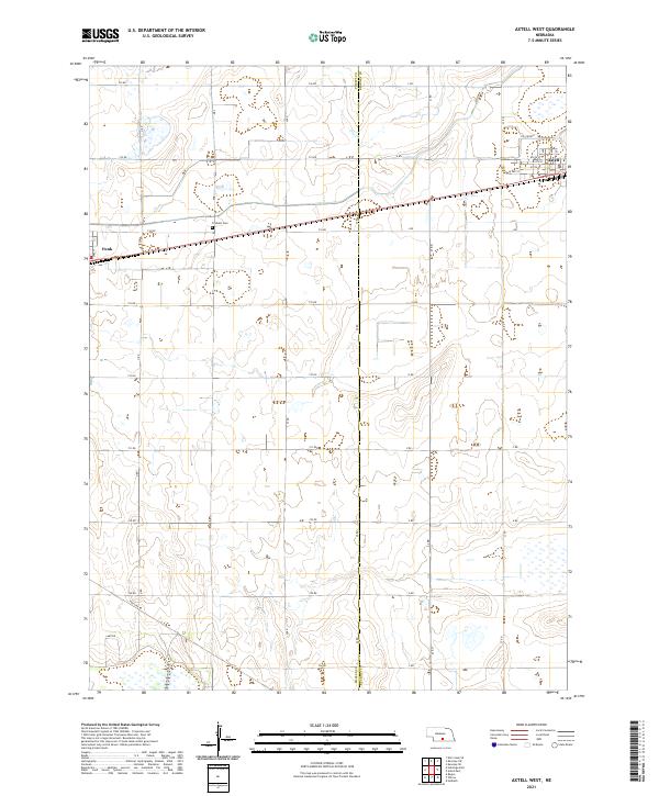 2021 Axtell West2021 Print · USGSThe rural landscape of Phelps and Kearney counties comes into focus during the early twenty-first century, centered on the railroad corridor between Axtell and Funk. Researchers can locate family landmarks like Fridhem Cem and trace the paths of Dry Creek and the Tri-County rail line.
End of results
Showing maps 1-15 of 15
Top cities near Axtell
- Kearney historical maps
- Holdrege historical maps
- Minden historical maps
- Odessa historical maps
- Wilcox historical maps
- Hildreth historical maps
See more
Frequently asked questions
- What are the different types of historical maps available for Axtell?
- What is the oldest map of Axtell?
- Where can I purchase historical maps of Axtell for my home or office?
- Where can I download high-res historical maps of Axtell?
- Are there historical topographic maps available for Axtell?
- Is there historical aerial imagery available for Axtell?
- Where are historical maps of Axtell sourced from?