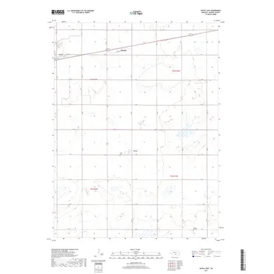
2017 Map of Axtell East
USGS Topo · Published 2017About this map
Minden and Axtell anchor the northern reaches of this Kearney County landscape, situated along a prominent east-west corridor defined by E 6th St and Kaapa Ln. The terrain is characterized by the structured grid of the Public Land Survey System, with roads such as 25 Rd and G Rd segmenting the agricultural fields. Central to the map is the small settlement of Keene, which serves as a local waypoint between the larger towns. Genealogy researchers will find significant value in the documentation of the Keene Cem and the Garden Plain Cem located in the southern sections. This 2017 data reflects the modern agricultural layout of the region, where numerous wetlands are dispersed among the section lines of t6n r16w and t5n r15w.
Find a feature on this map
28 named features on this map. Tap any name to fly to it.
Don’t see what you’re looking for? This feature index may not catch every label — zoom into the map to look around manually.
Map Details
Editions of this 2017 Axtell East Map
This is the sole edition of this map. No revisions or reprints were ever made.
Other maps of this area

1894 · Kearney
USGS Topo · 1:62,500

1894 · Minden
USGS Topo · 1:62,500

1896 · Holdrege
USGS Topo · 1:125,000

1896 · Kearney
USGS Topo · 1:125,000

1896 · Wood River
USGS Topo · 1:125,000

1897 · Red Cloud
USGS Topo · 1:125,000

1955 · Grand Island
USGS Topo · 1:250,000

1957 · Grand Island
USGS Topo · 1:250,000

1958 · Grand Island
USGS Topo · 1:250,000

1969 · Upland
USGS Topo · 1:24,000