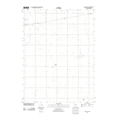
2011 Map of Axtell East
USGS Topo · Published 2011About this map
Axtell and the smaller settlement of Keene define the rural character of this Kearney County landscape, which is strictly organized by a geometric grid of section-line roads. The area is dominated by agricultural fields, with the primary east-west corridor formed by the highway alongside K Rd and E 6th St. This 2011 survey reveals the enduring placement of local landmarks like Keene Cemetery south of its namesake village and Garden Plain Cemetery near the southern boundary. These cemeteries and small crossroads settlements serve as anchor points for family history, representing the persistence of community in a region defined by its wide, open spaces and high-efficiency transport routes like Mission Rd.
Find a feature on this map
22 named features on this map. Tap any name to fly to it.
Don’t see what you’re looking for? This feature index may not catch every label — zoom into the map to look around manually.
Map Details
Editions of this 2011 Axtell East Map
This is the sole edition of this map. No revisions or reprints were ever made.
Other maps of this area

1894 · Kearney
USGS Topo · 1:62,500

1894 · Minden
USGS Topo · 1:62,500

1896 · Holdrege
USGS Topo · 1:125,000

1896 · Kearney
USGS Topo · 1:125,000

1896 · Wood River
USGS Topo · 1:125,000

1897 · Red Cloud
USGS Topo · 1:125,000

1955 · Grand Island
USGS Topo · 1:250,000

1957 · Grand Island
USGS Topo · 1:250,000

1958 · Grand Island
USGS Topo · 1:250,000

1969 · Upland
USGS Topo · 1:24,000