2020s Maps of Keith County, Nebraska
Explore 29 historic maps of Keith County from the 2020s. These maps offer a rare glimpse into what life looked like during the 2020s — showing old roads, neighborhoods, homes, and landmarks that have changed or disappeared over time.
Whether you're researching your family's past, planning a metal detecting trip, or studying how Keith County's landscape evolved across the 2020s, these high-resolution maps are a powerful tool for exploring the history of this region.
- Focus on a specific era: All maps on this page are from the 2020s, giving you a focused view of this time period.
- See what’s changed: Compare century-old streets, trails, and buildings to today's modern landscape using overlays and satellite layers.
- Research with precision: Use these maps for genealogy, historical research, land use analysis, or educational projects.
- View, download, or print: Maps are fully viewable online in high resolution, and can be downloaded or printed for your own records.
Start exploring Keith County's history through authentic maps from the 2020s. This is your window into the past.
Keith County, NE maps
(29)- 2021 Map of Bucktail Lake, 2021 Print
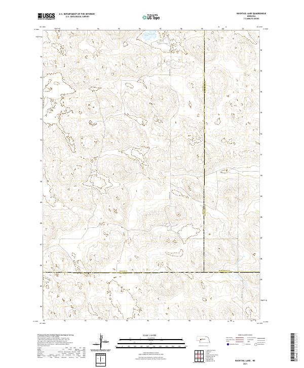 2021 Bucktail Lake2021 Print · USGSThe Nebraska sandhills at the meeting point of Arthur, Keith, and McPherson counties are captured here in the early 2020s. Trace the remote drainage of W Birdwood Cr and local ranching routes such as Bucktail Rd and Packard Dr.
 - 2021 Map of Big Bald Hill SE, 2021 Print
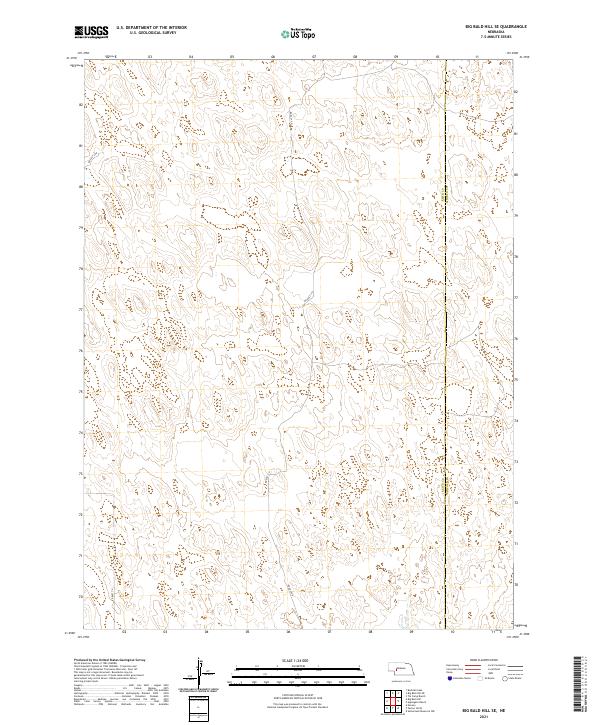 2021 Big Bald Hill SE2021 Print · USGSThe Nebraska Sandhills come into focus in the early 2020s where the Keith Co and Lincoln Co line meets. Researchers can trace the layout of contemporary rural transit along Rd East V N and Rd East 250 across the township sections.
 - 2021 Map of Williams Ranch, 2021 Print
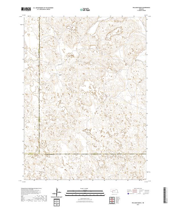 2021 Williams Ranch2021 Print · USGSThe Nebraska Sandhills come into focus in this contemporary survey of the borderlands between Garden, Arthur, and Keith counties. Researchers can trace the ranching landscape around Williams Ranch and the winding paths of Lewellen Rd and Rd 66.
 - 2021 Map of Paxton South, 2021 Print
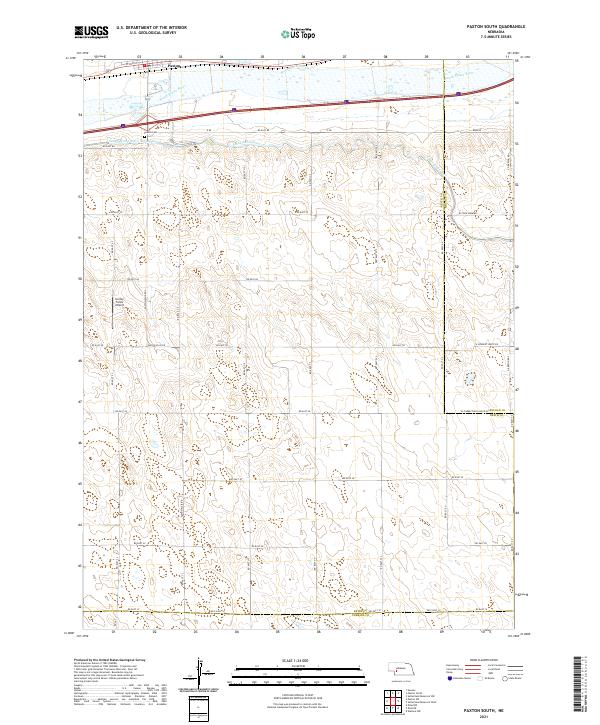 2021 Paxton South2021 Print · USGSThe agricultural plains south of Paxton are meticulously documented in this recent survey, showcasing the vital water systems of the Nebraska sandhills. Researchers can trace family history at Paxton Cem or follow the paths of the Sutherland Canal and the South Platte River.
 - 2021 Map of Packard Ranch, 2021 Print
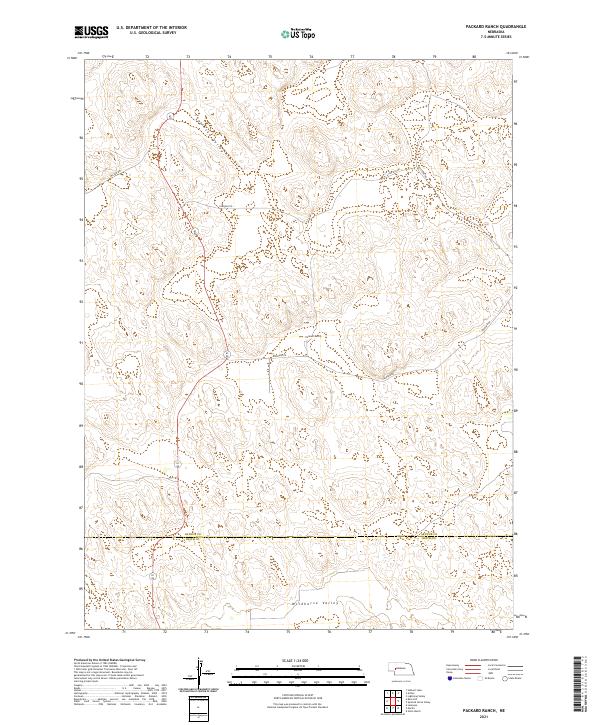 2021 Packard Ranch2021 Print · USGSThe ranching country of the Nebraska Sandhills is captured here in the early twenty-first century. Researchers can trace remote property lines and essential rural infrastructure like Packard Ranch, Wildhorse Valley, and Packard Rd across the Arthur County line.
 - 2021 Map of Brule NW, 2021 Print
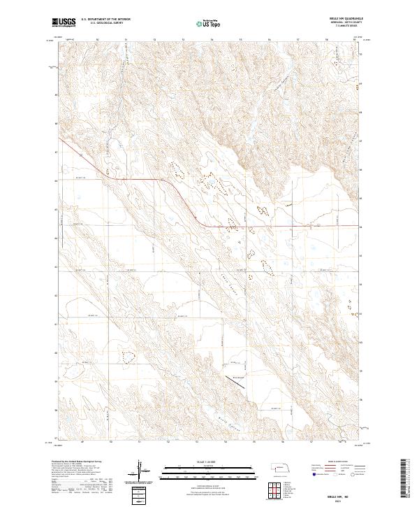 2021 Brule NW2021 Print · USGSHigh plains and deep-cut ravines dominate this portion of Keith County in the early 2020s. Researchers can trace the intersections of rural routes like Lakeview West Rd and follow the natural contours of Eagle Canyon and Chase Canyon.
 - 2021 Map of Martin, 2021 Print
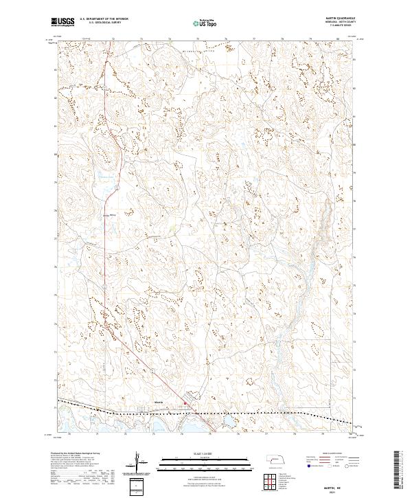 2021 Martin2021 Print · USGSWestern Nebraska ranching country and the shores of Lake McConaughy come into focus in this recent survey. Researchers can trace local landmarks from Wildhorse Valley to Ackley Lake and the settlement of Martin near the water's edge.
 - 2021 Map of Big Bald Hill, 2021 Print
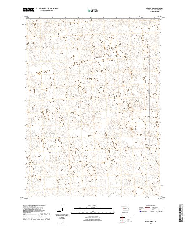 2021 Big Bald Hill2021 Print · USGSThe Nebraska Sandhills of northern Keith County appear in this recent survey as a landscape of open rangeland and quiet isolation. Researchers can trace the local road network along Rd East 250 and Rd East T N or locate the prominent rise of Big Bald Hill.
 - 2021 Map of Spotted Horse Valley, 2021 Print
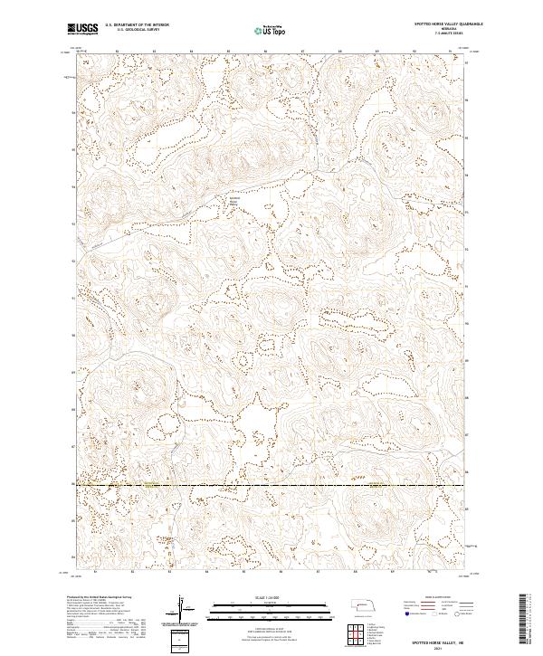 2021 Spotted Horse Valley2021 Print · USGSArthur and Keith counties are documented in this recent survey of the Nebraska Sandhills, showing the modern ranching landscape near the regional border. Trace local family land and rural access routes like Packard Rd, Enfield Rd, and the namesake Spotted Horse Valley.
 - 2021 Map of Belmar, 2021 Print
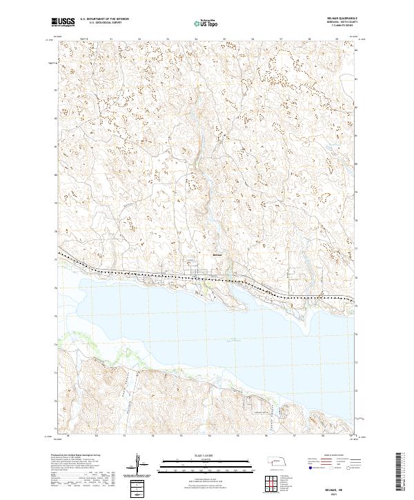 2021 Belmar2021 Print · USGSThe northern shore of Lake McConaughy is documented here in the early 2020s, showing the settlement of Belmar and the canyon country to the south. Researchers can trace land divisions and lakefront access through Belmar, Eagle Canyon, and smaller water bodies like Smith Lake.
 - 2021 Map of Sutherland Reservoir West, 2021 Print
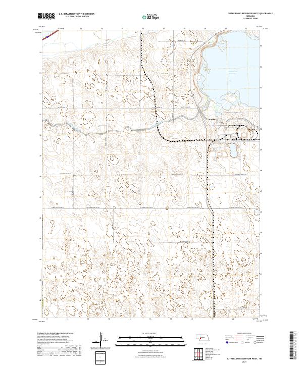 2021 Sutherland Reservoir West2021 Print · USGSLincoln County’s rural landscape is captured here in the early twenty-first century, centered on the critical water management of the High Plains. Genealogists and local historians can trace family land proximity to Sutherland Reservoir, the Sutherland Canal, and named routes like Prairie Trace Rd.
 - 2021 Map of Glinn Ranch, 2021 Print
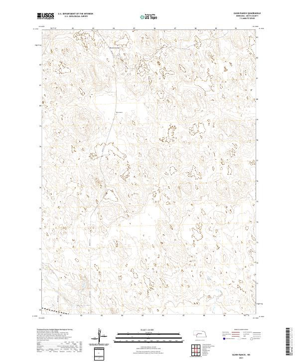 2021 Glinn Ranch2021 Print · USGSKeith County ranching country is shown here in the early 2020s, dominated by the rolling hills and depressions of the Nebraska sandhills. Local researchers can locate family-held land near Glinn Ranch or trace the path of Spring Cr through Mannon Valley.
 - 2021 Map of Big Springs NE, 2021 Print
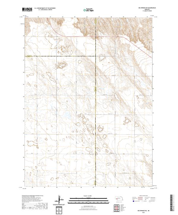 2021 Big Springs NE2021 Print · USGSWestern Nebraska's panhandle is mapped here in the early twenty-first century, showing the intersection of three counties in a vast agricultural grid. Researchers can trace land boundaries and rural routes like RD 34 near the head of Dankworth Canyon.
 - 2021 Map of Big Bald Hill NE, 2021 Print
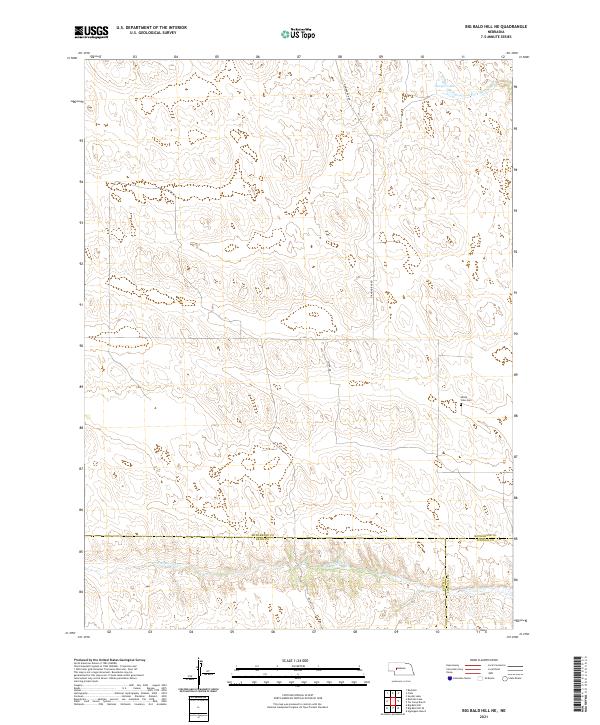 2021 Big Bald Hill NE2021 Print · USGSThe tri-county border of Keith, Lincoln, and McPherson counties is captured in this 2021 study of the Nebraska Sandhills. Researchers can trace the isolated Valley View Cem and water features like Lawyer Lake and the W Birdwood Cr.
 - 2021 Map of Old Baldy, 2021 Print
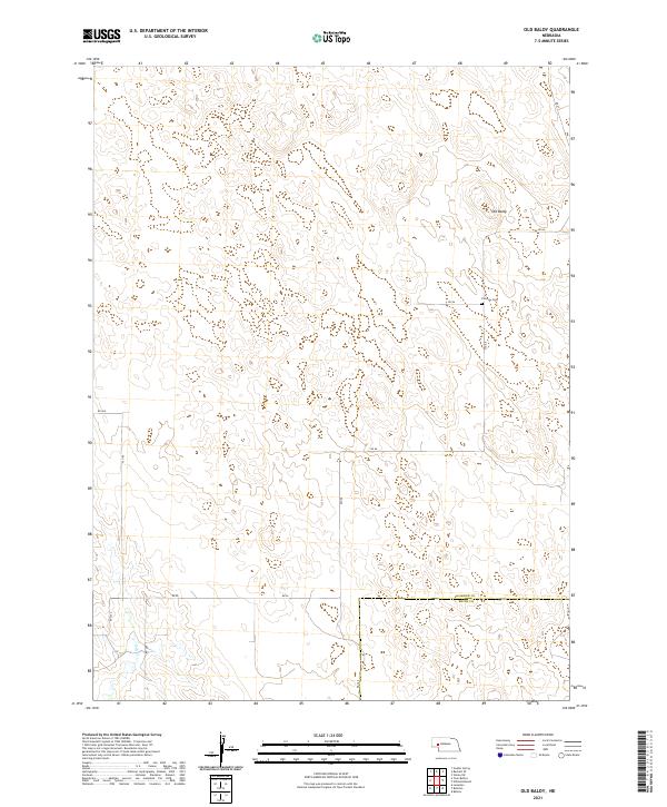 2021 Old Baldy2021 Print · USGSWestern Nebraska ranching country is documented here in the early twenty-first century, showing the remote high-plains terrain near the Keith County line. Family historians can locate the Fairview Cem or trace rural routes like Rd 215 near the peak of Old Baldy.
 - 2021 Map of Bear Hill, 2021 Print
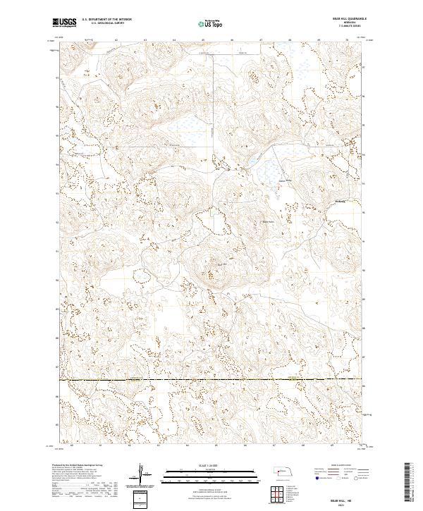 2021 Bear Hill2021 Print · USGSThe Nebraska Sandhills come into focus in this recent survey of Arthur and Keith Counties. Genealogists and local historians can trace the roads around McKeag and Indian Valley or locate landmarks like Bear Hill and Eagle Point.
 - 2021 Map of Ruthton, 2021 Print
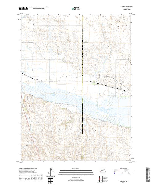 2021 Ruthton2021 Print · USGSGarden County's high plains and river bluffs are captured here in the early 2020s, centered on the North Platte River corridor. Genealogists and historians can trace pioneer-era legacy at Ash Hollow, Windlass Hill, and the Overland Trl.
 - 2021 Map of Lemoyne, 2021 Print
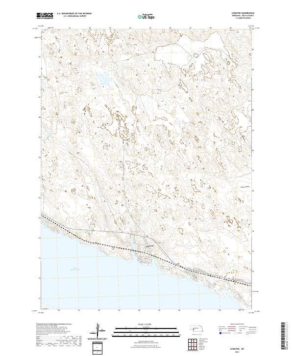 2021 Lemoyne2021 Print · USGSThe northern shore of Keith County’s massive reservoir is captured here as it appeared in 2021. Local historians and property researchers can trace the roads of Lemoyne and the drainage of Lonergan Creek as it reaches Lake McConaughy.
 - 2021 Map of Brule NE, 2021 Print
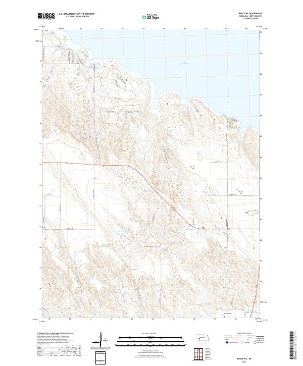 2021 Brule NE2021 Print · USGSKeith County's high plains meet the shores of the reservoir in the early 2020s, showing a landscape of deep canyons and modern lakeside living. Researchers can trace land development at Hidden Canyon Est or locate the airfield at Searle Field.
 - 2021 Map of Ogallala SE, 2021 Print
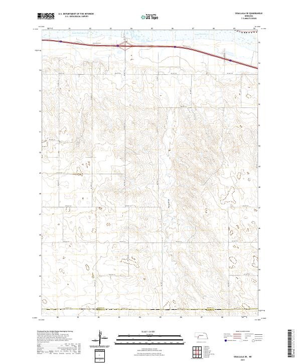 2021 Ogallala SE2021 Print · USGSThe Nebraska High Plains south of the Platte Valley appear in this recent survey of rural Keith and Perkins counties. Researchers can trace the path of the South Platte River and the deep cut of Roscoe Draw through a landscape defined by an extensive grid of section-line roads like Rd East 40.
 - 2021 Map of Ogallala, 2021 Print
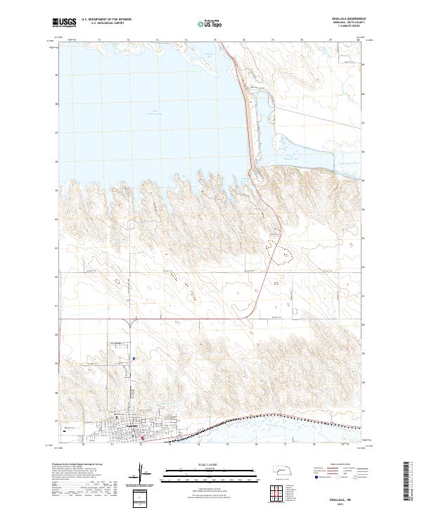 2021 Ogallala2021 Print · USGSOgallala and the Platte River forks are shown here in the early 2020s, revealing a landscape shaped by massive irrigation and recreation projects. Genealogists and local historians can locate Boot Hill Cem, the Keith County Courthouse, and the residential layout of Lago Villa.
 - 2021 Map of Keystone, 2021 Print
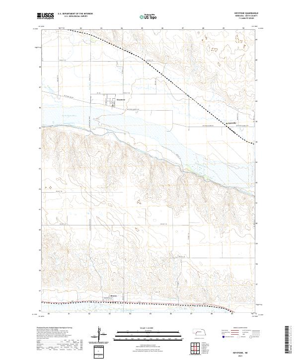 2021 Keystone2021 Print · USGSKeith County's river-bottom lands are shown here in the 2020s, highlighting the intricate water systems between the Platte forks. Genealogists and local historians can trace the areas around Keystone, Broganville, and the irrigation works of the Sutherland Canal.
 - 2021 Map of Paxton North, 2021 Print
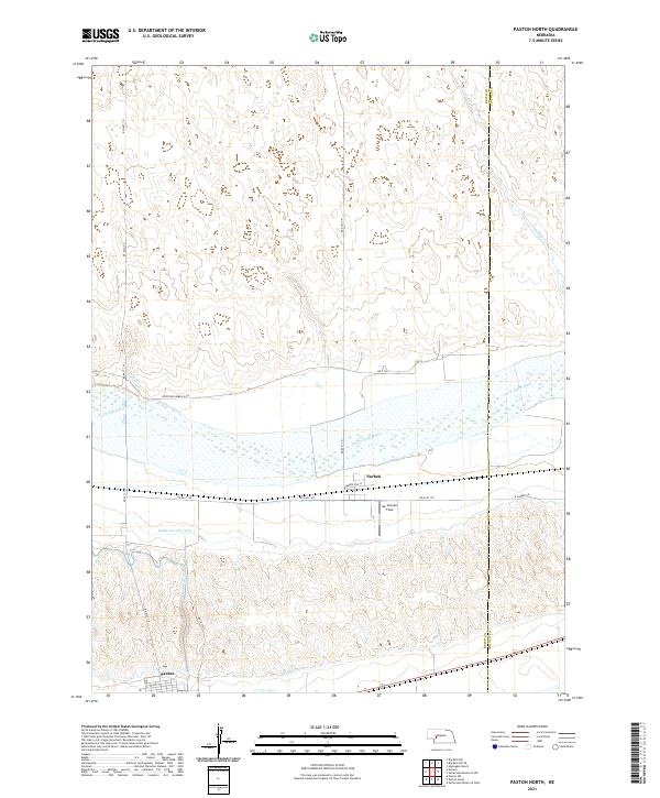 2021 Paxton North2021 Print · USGSKeith County and the Lincoln County line meet along the North Platte River in this 2021 study of Nebraska agricultural land. Trace the intricate canal systems through Paxton and Sarben, or locate local landmarks like Mc Connell Field.
 - 2021 Map of Paxton SW, 2021 Print
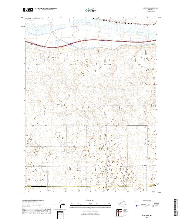 2021 Paxton SW2021 Print · USGSThe rural expanse of the Nebraska plains stretches south from the South Platte River into the western ranchlands during the early 2020s. Researchers can trace the path of the South Platte River Supply Canal or locate local landmarks like Holzfaster's Airport.
 - 2021 Map of Ogallala SW, 2021 Print
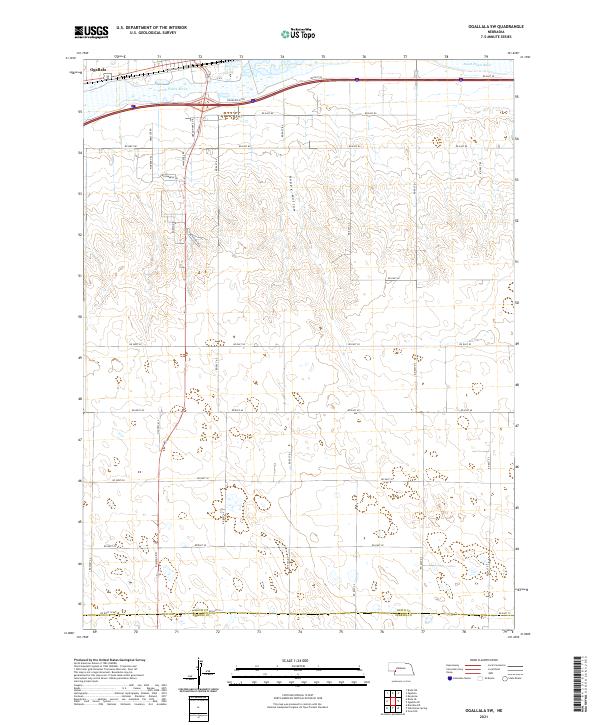 2021 Ogallala SW2021 Print · USGSThe Platte Valley south of Ogallala comes alive in this contemporary survey of the Nebraska sandhills edge. Trace the legacy of westward travel along Stagecoach Trl and Oregon Trail Dr or explore the drainage of Happy Hollow.
Showing maps 1-25 of 29
Top cities of Keith County
Frequently asked questions
- What are the different types of historical maps available for Keith County?
- What is the oldest map of Keith County?
- Where can I purchase historical maps of Keith County for my home or office?
- Where can I download high-res historical maps of Keith County?
- Are there historical topographic maps available for Keith County?
- Is there historical aerial imagery available for Keith County?
- Where are historical maps of Keith County sourced from?