Old Maps of Norden, Nebraska for Genealogy
Trace your family roots with 10 historic maps of Norden. These high-res maps reveal old neighborhoods, homesites, landmarks, and streets — helping you uncover where your ancestors lived and how the area evolved over time.
- Explore historic neighborhoods: Identify where your relatives may have lived in the 1800s or 1900s.
- Compare maps over time: Trace the changes in streets, buildings, and landmarks for multi-generational research.
- Perfect for genealogy & ancestry research: Used by family historians and researchers to map out lineage and migration.
These maps are an incredible resource for exploring your personal connection to Norden's past.
Norden, NE maps
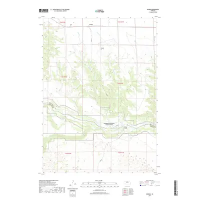
(10)- 1950 Map of Norden
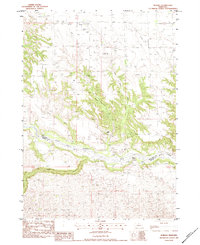
 1950 Norden1950 Print · USGSThe Niobrara River valley in the early fifties shows a rugged landscape of family-run cattle operations and scattered rural school districts. Genealogists can locate family holdings like Worth Ranch or McMara Ranch and burial sites at Sparks Cem.2 unique versions available
 - 1952 Map of Norden
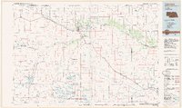
 1952 Norden1952 Print · USGSKeya Paha and Brown counties meet along the winding Niobrara River in the early fifties, capturing a period of transition for Nebraska's ranching country. Genealogists can trace family footprints at Norden, Sparks Cem, and numerous schoolhouses from Rockford Sch to School No 74.
 - 1957 Map of Valentine, 1960 Print
 1957 Valentine1960 Print · USGSNorthern Nebraska's ranching country and the vast Sand Hills are detailed here in the late fifties. Genealogists and historians can locate numerous family-named landmarks like the Dahlgren Ranch and trace the path of the Chicago and North Western railroad through Valentine.3 unique versions available
 - 1959 Map of Valentine
 1959 Valentine1959 Print · USGSThe northern Nebraska Sand Hills are captured here in the late fifties, showcasing a vast ranching landscape shaped by the Niobrara and Loup rivers. Genealogists and historians can trace rail-town development along the Chicago and North Western and locate remote outposts like Brownlee or Kennedy.
 - 1983 Map of Norden, 1984 Print
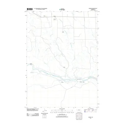
 1983 Norden1984 Print · USGSNorden and the Nebraska Sandhills transition are captured here in the early eighties as a dedicated ranching landscape. Researchers can locate the Norden Cem, the County Fairground, and established family operations like the Egelhoff Ranch near the Niobrara River.
 - 1985 Map of Valentine
 1985 Valentine1985 Print · USGSThe Nebraska Sandhills in the mid-1980s reveal a landscape of vast wildlife refuges and rail-linked prairie towns. Researchers can trace the Chicago and North Western corridor through Kilgore and Valentine or locate remote landmarks like Snake River Falls.2 unique versions available
 - 2011 Map of Norden, 2011 Print
 2011 Norden2011 Print · USGSCovers Norden, including Keya Paha County, Brown County, and other nearby areas
 - 2014 Map of Norden, 2014 Print
 2014 Norden2014 Print · USGSCovers Norden, including Keya Paha County, Brown County, and other nearby areas
 - 2017 Map of Norden, 2017 Print
 2017 Norden2017 Print · USGSCovers Norden, including Keya Paha County, Brown County, and other nearby areas
 - 2021 Map of Norden, 2021 Print
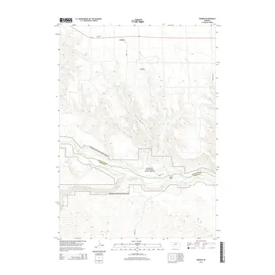
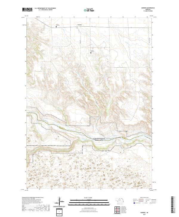 2021 Norden2021 Print · USGSThe high plains of Keya Paha County meet the deep valley of the Niobrara River in this modern topographic study. Researchers can locate family sites at Pleasant Dale Cem or trace the river's path through Kuhres Rapid and under the Norden Bridge.
End of results
Showing maps 1-10 of 10
Top cities near Norden
Frequently asked questions
- What are the different types of historical maps available for Norden?
- What is the oldest map of Norden?
- Where can I purchase historical maps of Norden for my home or office?
- Where can I download high-res historical maps of Norden?
- Are there historical topographic maps available for Norden?
- Is there historical aerial imagery available for Norden?
- Where are historical maps of Norden sourced from?