Old Maps of Springview, Nebraska for Academic Research
Study the evolution of Springview with 15 high-resolution historic maps. Whether you're teaching, researching, or modeling changes in land use, these maps provide essential visual documentation of urban, environmental, and geographic change.
- Analyze long-term change: Track patterns in development, transportation, and natural features.
- Ideal for environmental or urban studies: Support academic projects with primary historical map data.
- Use in the classroom or lab: Educators and researchers rely on these maps to bring historical context to life.
These maps are a powerful tool for teaching, research, and visualizing how Springview has changed over the decades.
Springview, NE maps
(15)- 1950 Map of Meadville
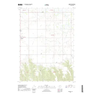
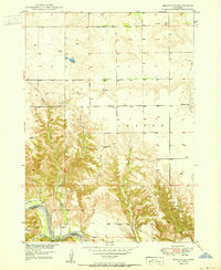 1950 Meadville1950 Print · USGSThe Niobrara River valley in Keya Paha County is shown here at mid-century, documenting a landscape of isolated farmsteads and rural townships. Genealogists can locate several historic schoolhouses including School No 87 and School No 42 near Meadville.2 unique versions available
 - 1955 Map of O'Neill, 1974 Print
 1955 O'Neill1974 Print · USGSNorth-central Nebraska in the 1950s reveals a vast cattle-ranching landscape transitioning from the Missouri River breaks to the iconic Sand Hills. Researchers can trace the path of the Chicago and North Western rail line and locate rural landmarks like the Dustin Post Office and St Johns Lake Ch.2 unique versions available
 - 1959 Map of O'Neill
 1959 O'Neill1959 Print · USGSNorth-central Nebraska in the late fifties is defined by the vast Sand Hills and the vital Chicago and North Western rail line. Genealogists and researchers can trace family roots through settlements like Atkinson, Bassett, and Stuart or follow the waters of the Niobrara River.2 unique versions available
 - 1964 Map of Springview, 1965 Print
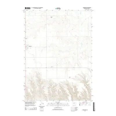
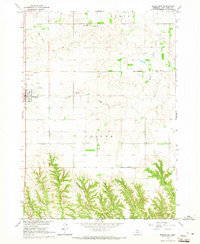 1964 Springview1965 Print · USGSMid-century Keya Paha County is centered here on the plateau town of Springview as it appeared before modern development. Researchers can trace rural lineages through four distinct burial grounds like Sugarloaf Hill Cem and find the location of the Green Valley Sch.
 - 1969 Map of O'Neill
 1969 O'Neill1969 Print · USGSCentral Nebraska in the mid-fifties is defined here by the expansive Sand Hills and the winding Niobrara River. Trace the Chicago and North Western rail line through cattle towns like O'Neill and Ainsworth.
 - 1985 Map of Ainsworth
 1985 Ainsworth1985 Print · USGSThe Nebraska-South Dakota borderlands come into focus in the mid-1980s, documenting a landscape of river breaks and remote ranching hubs. Genealogists can trace the rural layout of Ainsworth, Bassett, and Springview or follow the Chicago and North Western rail line.2 unique versions available
 - 1989 Map of O'Neill
 1989 O'Neill1989 Print · USGSThe Nebraska-South Dakota borderlands are captured here in the late eighties, documenting the ranching and rail infrastructure of the High Plains. Genealogists and collectors can trace historic prairie towns like Monowi, Pishelville, and Santee along the Niobrara River.
 - 2011 Map of Meadville, 2011 Print
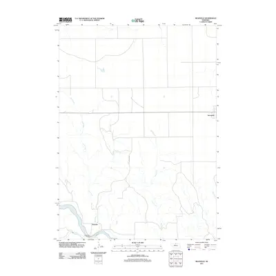 2011 Meadville2011 Print · USGSCovers Springview, including Meadville, Keya Paha County, and other nearby areas
 - 2011 Map of Springview, 2011 Print
 2011 Springview2011 Print · USGSCovers Springview, including Keya Paha County, United States, and other nearby areas
 - 2014 Map of Meadville, 2014 Print
 2014 Meadville2014 Print · USGSCovers Springview, including Meadville, Keya Paha County, and other nearby areas
 - 2014 Map of Springview, 2014 Print
 2014 Springview2014 Print · USGSCovers Springview, including Keya Paha County, United States, and other nearby areas
 - 2017 Map of Springview, 2017 Print
 2017 Springview2017 Print · USGSCovers Springview, including Keya Paha County, United States, and other nearby areas
 - 2017 Map of Meadville, 2017 Print
 2017 Meadville2017 Print · USGSCovers Springview, including Meadville, Keya Paha County, and other nearby areas
 - 2021 Map of Meadville, 2021 Print
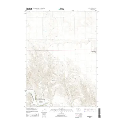
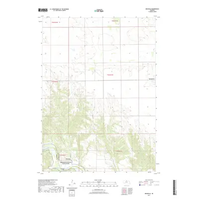
 2021 Meadville2021 Print · USGSThe Niobrara River valley in Keya Paha County is shown here in the early 2020s, as it cuts through the Nebraska plains. Local historians can trace the rural infrastructure around Meadville, including the Meadville Bridge and the drainages of Jewett Cr and Plum Cr.
 - 2021 Map of Springview, 2021 Print
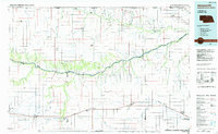
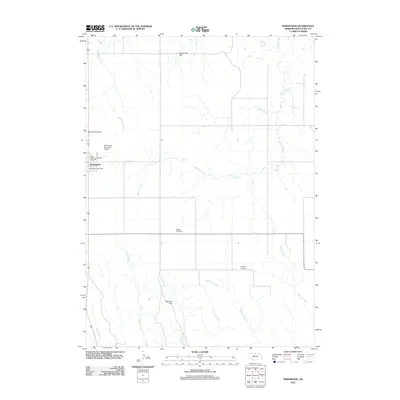
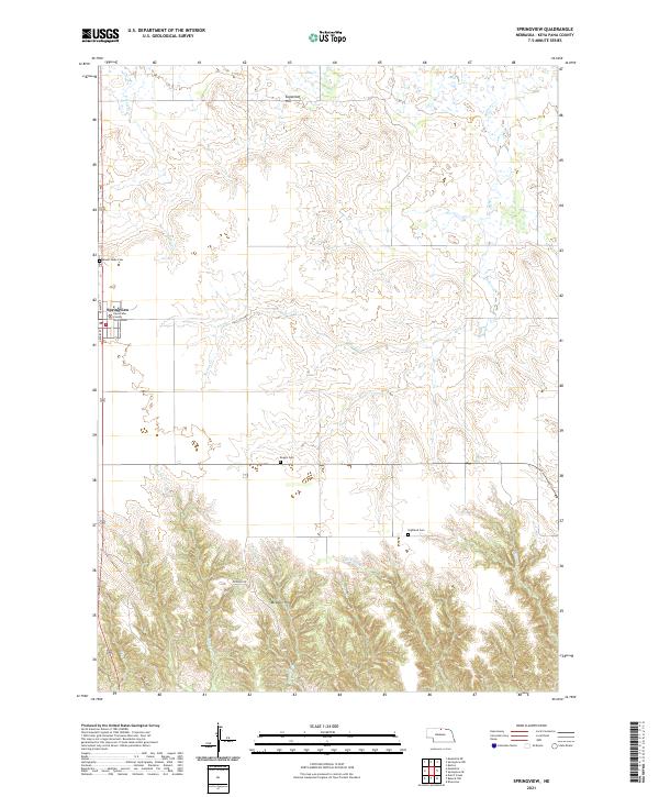 2021 Springview2021 Print · USGSSpringview and the surrounding Keya Paha County uplands are documented here in the early twenty-first century. Genealogists and local historians can trace the town grid and find area burial sites like Mount Hope Cem, Rogers Cem, and the Keya Paha County Courthouse.
End of results
Showing maps 1-15 of 15
Top cities near Springview
Frequently asked questions
- What are the different types of historical maps available for Springview?
- What is the oldest map of Springview?
- Where can I purchase historical maps of Springview for my home or office?
- Where can I download high-res historical maps of Springview?
- Are there historical topographic maps available for Springview?
- Is there historical aerial imagery available for Springview?
- Where are historical maps of Springview sourced from?