2020s Maps of Kimball County, Nebraska
Explore 24 historic maps of Kimball County from the 2020s. These maps offer a rare glimpse into what life looked like during the 2020s — showing old roads, neighborhoods, homes, and landmarks that have changed or disappeared over time.
Whether you're researching your family's past, planning a metal detecting trip, or studying how Kimball County's landscape evolved across the 2020s, these high-resolution maps are a powerful tool for exploring the history of this region.
- Focus on a specific era: All maps on this page are from the 2020s, giving you a focused view of this time period.
- See what’s changed: Compare century-old streets, trails, and buildings to today's modern landscape using overlays and satellite layers.
- Research with precision: Use these maps for genealogy, historical research, land use analysis, or educational projects.
- View, download, or print: Maps are fully viewable online in high resolution, and can be downloaded or printed for your own records.
Start exploring Kimball County's history through authentic maps from the 2020s. This is your window into the past.
Kimball County, NE maps
(24)- 2021 Map of Kimball SW, 2021 Print
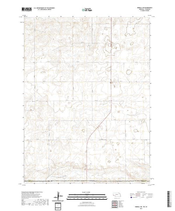 2021 Kimball SW2021 Print · USGSThe high plains along the Nebraska-Colorado border come into sharp focus in this contemporary survey of the region. Researchers can trace the path of Sidney Draw and the precise jurisdictional boundary between Kimball Co and Weld Co.
 - 2021 Map of Bushnell SW, 2021 Print
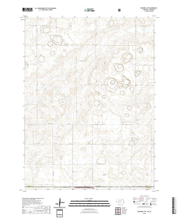 2021 Bushnell SW2021 Print · USGSThe high plains of the Nebraska and Colorado border are captured here in the early twenty-first century, showing a landscape defined by ranching and conservation. Researchers can trace the intersection of State Line Rd and the northern reaches of the Pawnee National Grassland across the Kimball and Weld county lines.
 - 2021 Map of North of Oliver Reservoir, 2021 Print
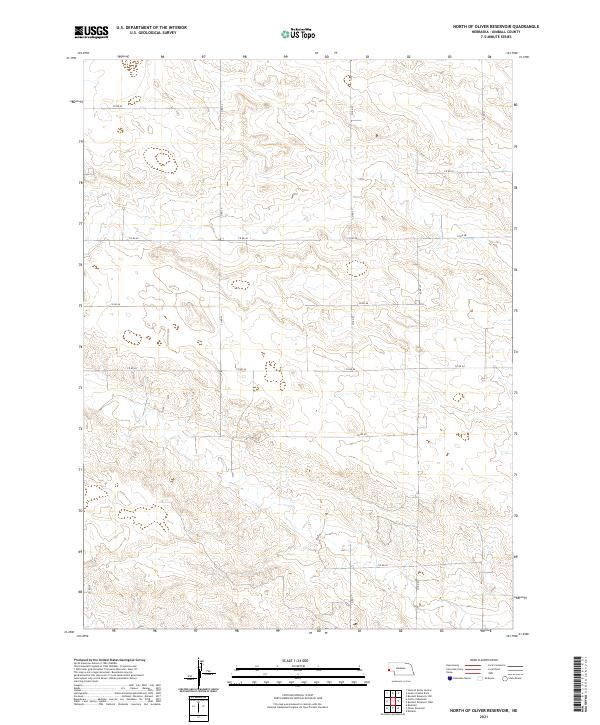 2021 North of Oliver Reservoir2021 Print · USGSKimball County's rural tablelands are captured in this recent survey of Nebraska's high plains. Local historians and land researchers can trace the precise intersections of section-line routes including Co Rd 48, Co Rd 23, and Co Rd 27.
 - 2021 Map of South of Gabe Rock, 2021 Print
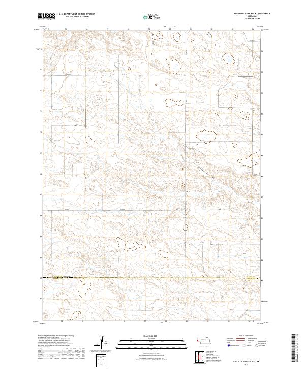 2021 South of Gabe Rock2021 Print · USGSThe Nebraska Panhandle's high-plateau landscape is captured here in the early twenty-first century, showing the rural land divisions south of Gabe Rock. Researchers can trace the section-line roads and natural drainage of Rocky Hollow across the Banner and Kimball County border.
 - 2021 Map of Bushnell SE, 2021 Print
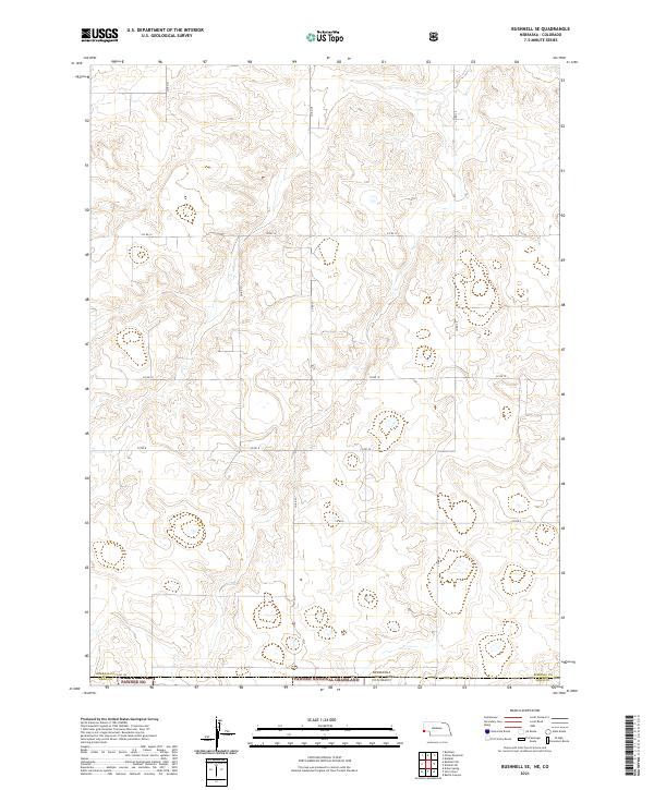 2021 Bushnell SE2021 Print · USGSHigh plains grazing lands and state-line corridors define this region during the early twenty-first century. Genealogists and land researchers can trace the precise section-line boundaries between Kimball and Weld counties and the edges of the Pawnee National Grassland.
 - 2021 Map of Singleton Ranch, 2021 Print
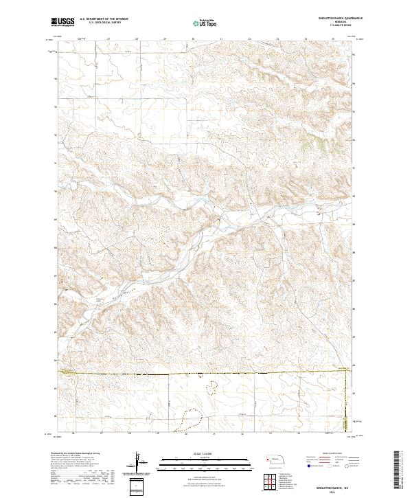 2021 Singleton Ranch2021 Print · USGSBanner County ranchlands are captured here in the early twenty-first century as the landscape follows the winding path of Lawrence Fork. Researchers can trace the section-line roads and remote outposts like Singleton Ranch and the rugged contours of Rocky Hollow.
 - 2021 Map of Bennett Reservoir East, 2021 Print
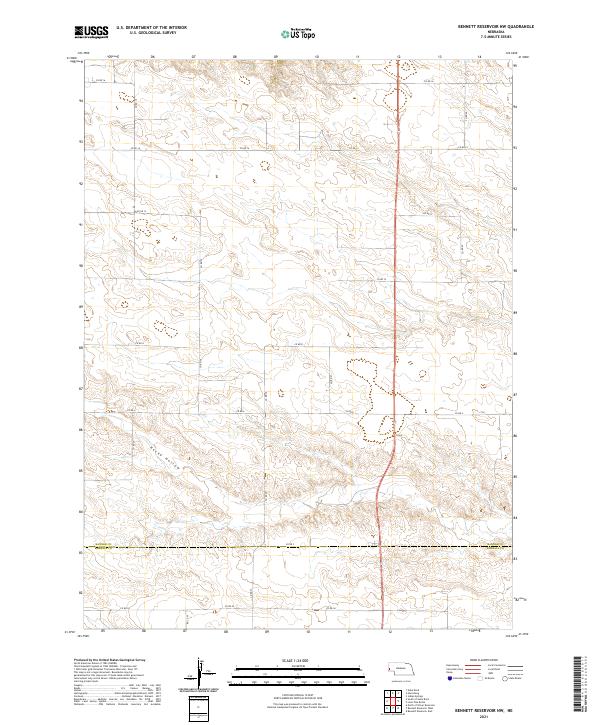
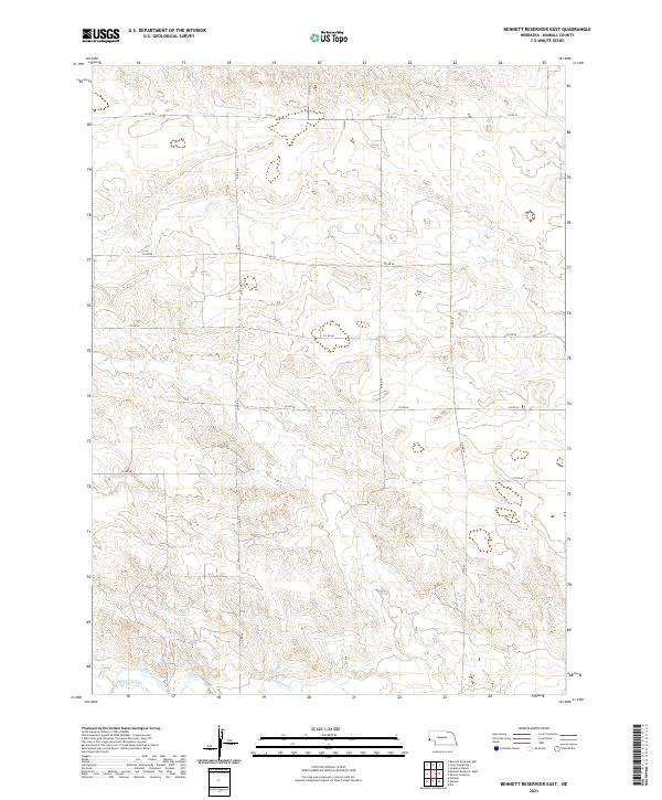 2021 Bennett Reservoir East2021 Print · USGSWestern Nebraska's high plains are captured here in the early twenty-first century, showing a landscape defined by ranching roads and water management. Researchers can trace the path of Lodgepole Cr and the industrial layout of the Bennett Canal.
 - 2021 Map of Bennett Reservoir West, 2021 Print
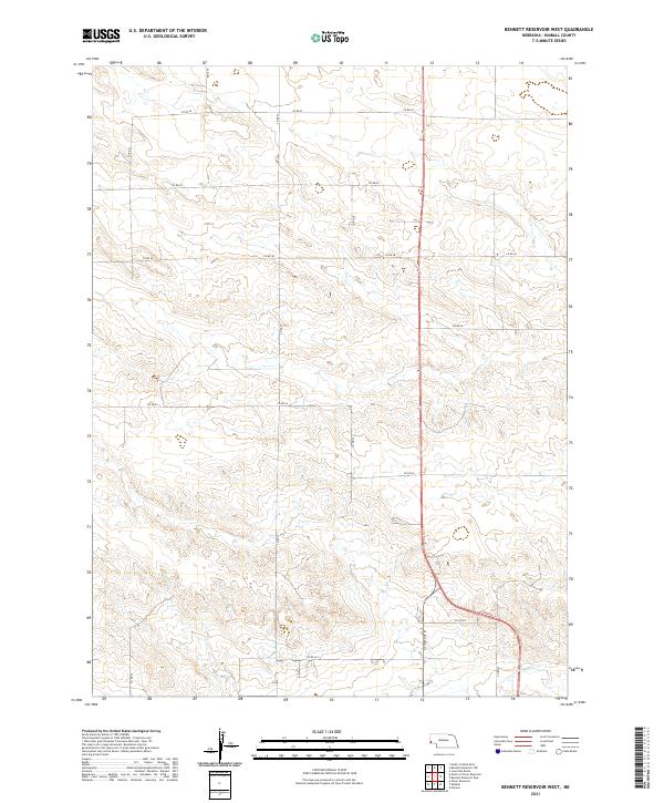 2021 Bennett Reservoir West2021 Print · USGSKimball County ranching lands and the High Plains landscape are captured in this recent survey of Nebraska's panhandle. Researchers can trace the section lines and rural infrastructure along Lodgepole Cr and follow the route of N Chestnut St as it heads north.
 - 2021 Map of Lone Pine Butte, 2021 Print
 2021 Lone Pine Butte2021 Print · USGSBanner County, Nebraska, is captured here at the start of the 2020s, showcasing the high-elevation ranching country of the Panhandle. Researchers can trace the drainage of Lawrence Fork and identify local landmarks like Lone Pine Butte and Lone Pine Springs.
 - 2021 Map of Kimball SE, 2021 Print
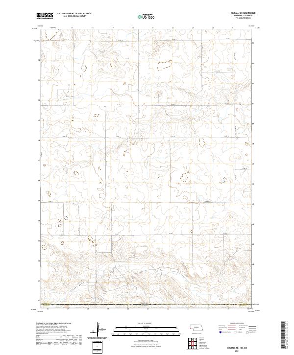 2021 Kimball SE2021 Print · USGSThe High Plains borderlands of Nebraska and Colorado are captured here in the early 2020s, showing a landscape defined by ranching and section lines. Genealogists and land researchers can trace the tri-county boundaries and the path of Sidney Draw near Co Rd 8.
 - 2021 Map of North of Bushnell, 2021 Print
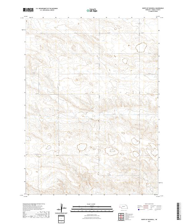 2021 North of Bushnell2021 Print · USGSWestern Nebraska's Kimball County remains a land of expansive horizons and strict geometric boundaries in this recent survey. Researchers can trace the modern road grid through remote township sections via CO RD 52, CO RD 13, and CO RD 46.
 - 2021 Map of Bennett Reservoir NW, 2021 Print
 2021 Bennett Reservoir NW2021 Print · USGSThe high plains of western Nebraska are captured here in the early twenty-first century, showing the remote ranching landscape along the county line. Genealogists and local historians can trace rural property boundaries and access routes like Co Rd 2 and the natural terrain of Rocky Hollow.
 - 2021 Map of Potter SW, 2021 Print
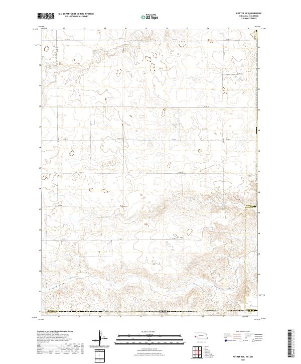 2021 Potter SW2021 Print · USGSThe high plains of the Nebraska-Colorado border are captured here in the early twenty-first century, showing a remote agricultural landscape. Genealogists and land researchers can trace the intersection of Kimball Co and Logan Co along Sidney Draw and Co Rd 18.
 - 2021 Map of Bethel Cemetery, 2021 Print
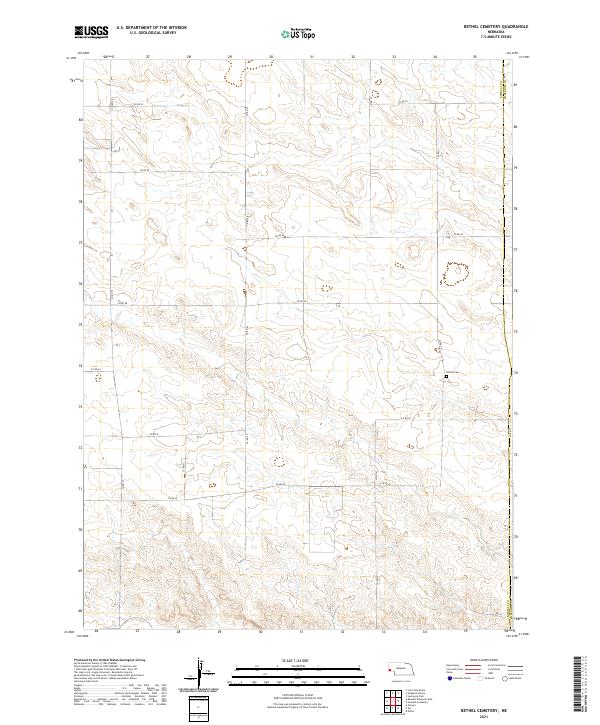 2021 Bethel Cemetery2021 Print · USGSThe High Plains of the Nebraska panhandle are captured in this recent survey, showcasing the rural landscape at the junction of Kimball Co and Cheyenne Co. Researchers can trace local section lines and find the secluded Bethel Cem along the grid of Co Rd 42.
 - 2021 Map of Owasco, 2021 Print
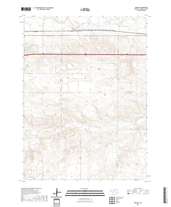 2021 Owasco2021 Print · USGSKimball County's panhandle landscape is documented here in the early twenty-first century, showing the enduring agricultural patterns of the High Plains. Genealogists and local historians can trace the rural sections around Owasco and the drainage of Sand Draw along the Lodgepole Cr corridor.
 - 2021 Map of Bushnell, 2021 Print
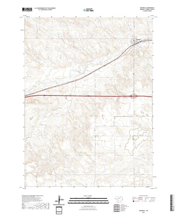 2021 Bushnell2021 Print · USGSWestern Nebraska's High Plains are captured here in the early 2020s, centered on the small rail-aligned village of Bushnell. Local history researchers can trace the town's street grid and nearby landmarks like the Bushnell Cem, Lodgepole Cr, and the southern State Line Rd.
 - 2021 Map of Dix, 2021 Print
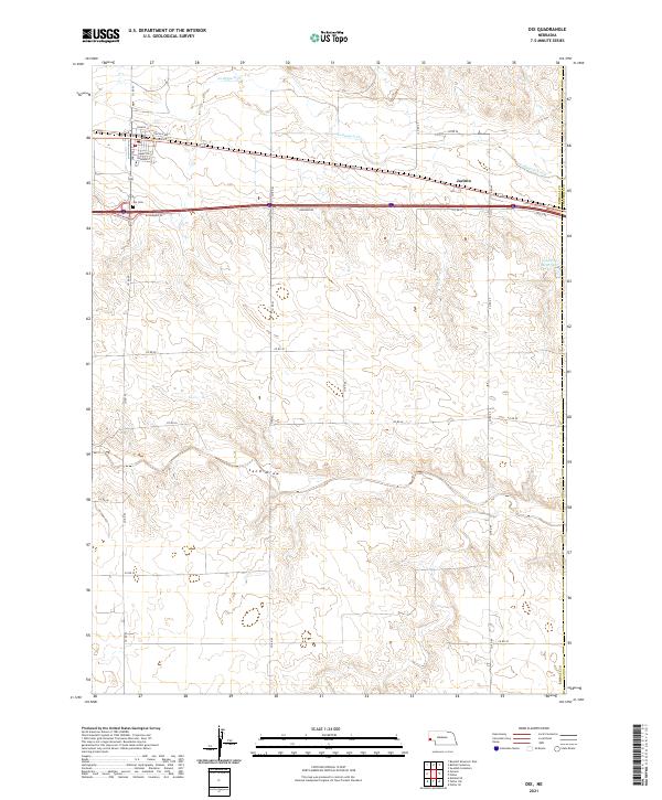 2021 Dix2021 Print · USGSKimball County in the early 2020s shows the enduring layout of the railroad corridor and local ranching roads. Genealogists and historians can trace the town site of Dix, the nearby Dix Cem, and the seasonal waters of Sand Draw and Lodgepole Creek.
 - 2021 Map of Oliver Reservoir, 2021 Print
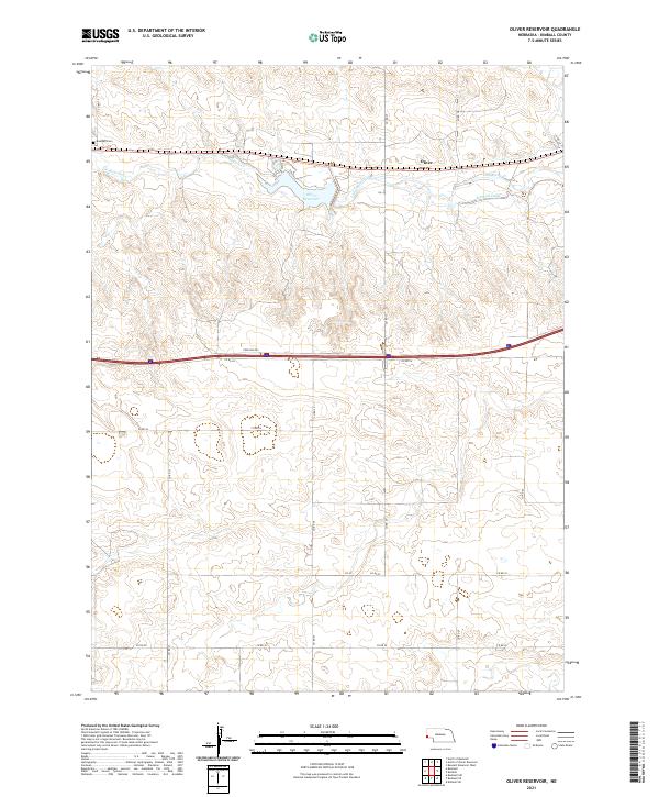 2021 Oliver Reservoir2021 Print · USGSKimball County at the start of the 2020s shows a landscape of precision water management and rural endurance. Genealogists and local historians can locate the Bushnell Cem and trace the paths of Lodgepole Cr and the Kimball Canal.
 - 2021 Map of Kimball, 2021 Print
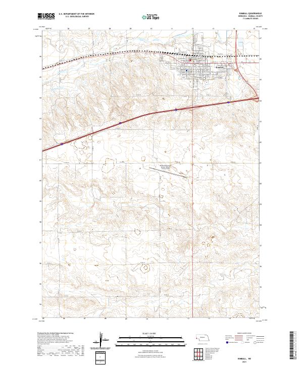 2021 Kimball2021 Print · USGSKimball remains the vital heart of the Nebraska panhandle in the early twenty-first century, shaped by its role as a county seat and agricultural hub. Researchers can trace the layout of the town's core near the Kimball County Courthouse or locate regional infrastructure like the Kimball Canal and Lodgepole Cr.
 - 2021 Map of Head of Rocky Hollow, 2021 Print
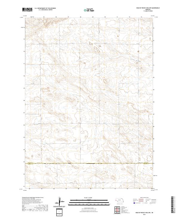 2021 Head of Rocky Hollow2021 Print · USGSThe Nebraska panhandle landscape is shown here in the early twenty-first century, centered on the drainage of Rocky Hollow. Genealogists and land researchers can trace property boundaries and rural routes like Co Rd 14 across Banner Co and Kimball Co.
 - 2021 Map of Lindbergh, 2021 Print
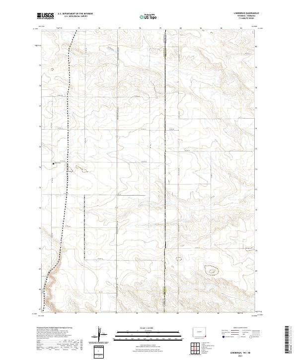 2021 Lindbergh2021 Print · USGSThe Wyoming and Nebraska borderlands are captured in this recent survey, centered on the rural community of Lindbergh. Local historians can trace agricultural patterns and property lines through the road network, including Pig Farm Rd and Salem Cem.
 - 2021 Map of Albin, 2021 Print
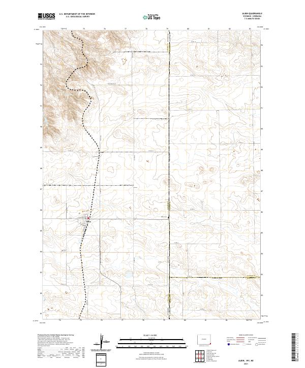 2021 Albin2021 Print · USGSEastern Wyoming meets the Nebraska Panhandle in this rural survey of a High Plains farming community. Researchers can locate Albin town lots and the Albin Cem or trace the drainage of Bushnell Cr near the tri-county border.
 - 2021 Map of Pine Bluffs SE, 2021 Print
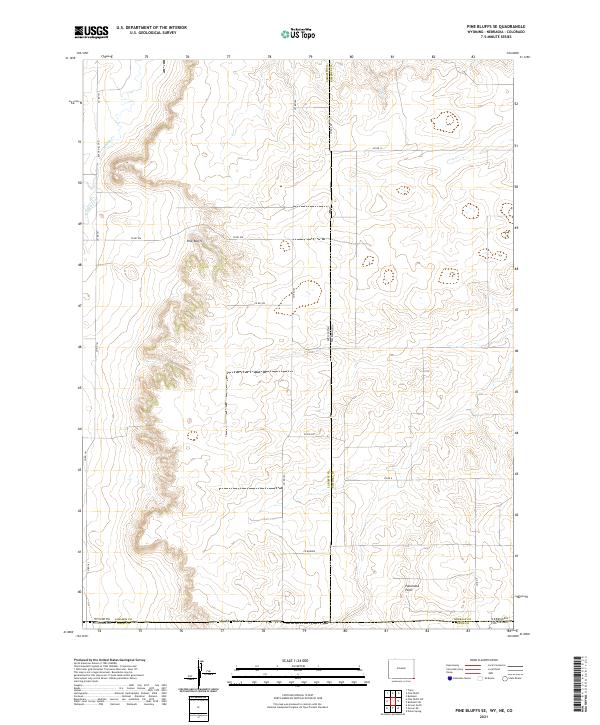 2021 Pine Bluffs SE2021 Print · USGSThe high plains where Wyoming, Nebraska, and Colorado meet are captured here in the early twenty-first century. Researchers can trace the tri-state boundary lines near Panorama Point or follow the drainage of Muddy Cr below the Pine Bluffs.
 - 2021 Map of Pine Bluffs, 2021 Print
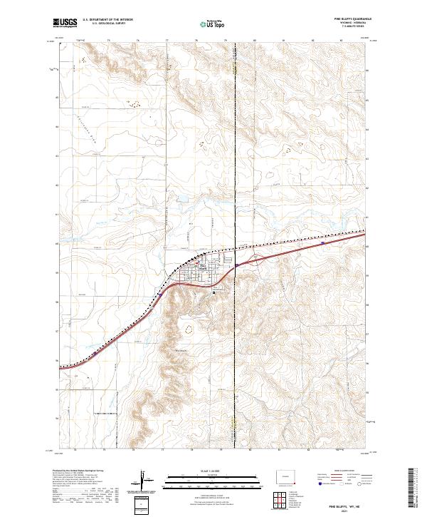 2021 Pine Bluffs2021 Print · USGSCrossing the Wyoming and Nebraska border in the early 2020s, this area centers on the railroad-aligned settlement of Pine Bluffs. Local historians can trace the town's growth from the U P RR RD corridor to landmarks like Pine Bluffs Cem and Wisroth Reservoir.
End of results
Showing maps 1-24 of 24
Top cities of Kimball County
Frequently asked questions
- What are the different types of historical maps available for Kimball County?
- What is the oldest map of Kimball County?
- Where can I purchase historical maps of Kimball County for my home or office?
- Where can I download high-res historical maps of Kimball County?
- Are there historical topographic maps available for Kimball County?
- Is there historical aerial imagery available for Kimball County?
- Where are historical maps of Kimball County sourced from?