2000s (21st Century) Maps of Kimball County, Nebraska
Explore 85 historic maps of Kimball County from the 2000s (21st Century). These maps offer a rare glimpse into what life looked like during the 2000s — showing old roads, neighborhoods, homes, and landmarks that have changed or disappeared over time.
Whether you're researching your family's past, planning a metal detecting trip, or studying how Kimball County's landscape evolved across the 2000s, these high-resolution maps are a powerful tool for exploring the history of this region.
- Focus on a specific era: All maps on this page are from the 2000s, giving you a focused view of this time period.
- See what’s changed: Compare century-old streets, trails, and buildings to today's modern landscape using overlays and satellite layers.
- Research with precision: Use these maps for genealogy, historical research, land use analysis, or educational projects.
- View, download, or print: Maps are fully viewable online in high resolution, and can be downloaded or printed for your own records.
Start exploring Kimball County's history through authentic maps from the 2000s. This is your window into the past.
Kimball County, NE maps
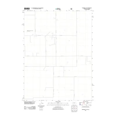
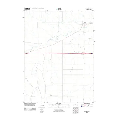
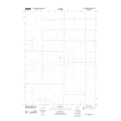
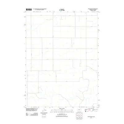
(85)- 2010 Map of Potter SW, 2010 Print
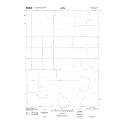 2010 Potter SW2010 Print · USGSCovers Kimball County, including Logan County, Cheyenne County, and other nearby areas
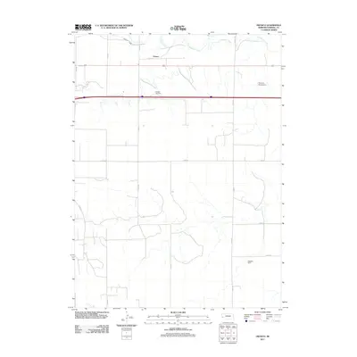
 - 2011 Map of Kimball SW, 2011 Print
 2011 Kimball SW2011 Print · USGSCovers Kimball County, including Weld County, United States, and other nearby areas
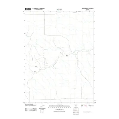
 - 2011 Map of Bushnell SW, 2011 Print
 2011 Bushnell SW2011 Print · USGSCovers Kimball County, including Weld County, United States, and other nearby areas
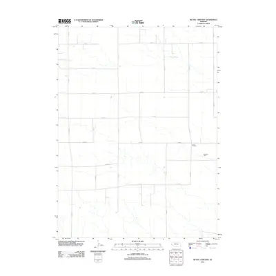
 - 2011 Map of Kimball SE, 2011 Print
 2011 Kimball SE2011 Print · USGSCovers Kimball County, including Weld County, Logan County, and other nearby areas
 - 2011 Map of Bushnell SE, 2011 Print
 2011 Bushnell SE2011 Print · USGSCovers Kimball County, including Weld County, United States, and other nearby areas
 - 2011 Map of Kimball, 2011 Print
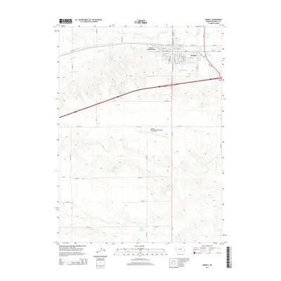
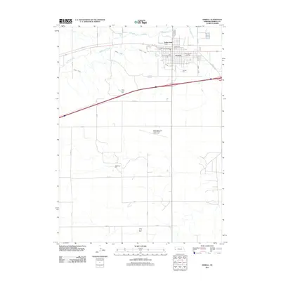 2011 Kimball2011 Print · USGSCovers Kimball County, including Kimball, United States, and other nearby areas
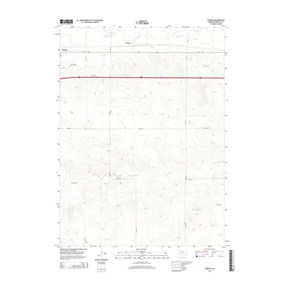
 - 2011 Map of Dix, 2011 Print
 2011 Dix2011 Print · USGSCovers Kimball County, including Dix, Jacinto, and other nearby areas
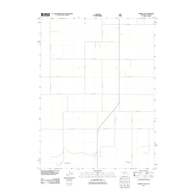
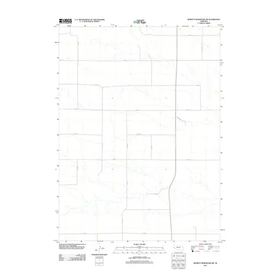
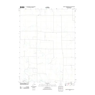
 - 2011 Map of Bennett Reservoir West, 2011 Print
 2011 Bennett Reservoir West2011 Print · USGSCovers Kimball County, including United States, Nebraska, and other nearby areas
 - 2011 Map of Bushnell, 2011 Print
 2011 Bushnell2011 Print · USGSCovers Kimball County, including Bushnell, United States, and other nearby areas
 - 2011 Map of Owasco, 2011 Print
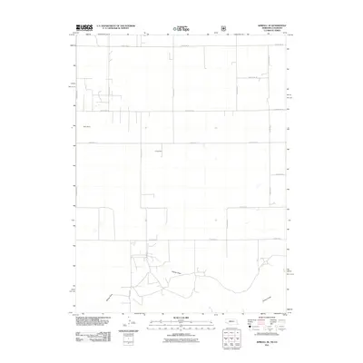
 2011 Owasco2011 Print · USGSCovers Kimball County, including Owasco, United States, and other nearby areas
 - 2011 Map of Singleton Ranch, 2011 Print
 2011 Singleton Ranch2011 Print · USGSCovers Kimball County, including Cheyenne County, Banner County, and other nearby areas
 - 2011 Map of Bethel Cemetery, 2011 Print
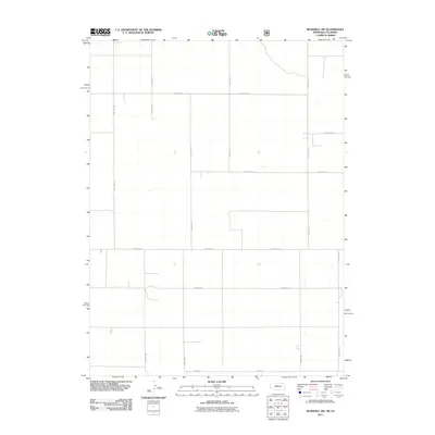
 2011 Bethel Cemetery2011 Print · USGSCovers Kimball County, including Cheyenne County, United States, and other nearby areas
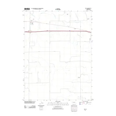
 - 2011 Map of North of Bushnell, 2011 Print
 2011 North of Bushnell2011 Print · USGSCovers Kimball County, including United States, Nebraska, and other nearby areas
 - 2011 Map of Bennett Reservoir NW, 2011 Print
 2011 Bennett Reservoir NW2011 Print · USGSCovers Kimball County, including Banner County, United States, and other nearby areas
 - 2011 Map of North of Oliver Reservoir, 2011 Print
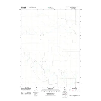 2011 North of Oliver Reservoir2011 Print · USGSCovers Kimball County, including United States, Nebraska, and other nearby areas
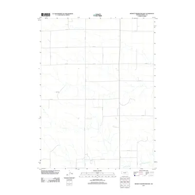
 - 2011 Map of Head of Rocky Hollow, 2011 Print
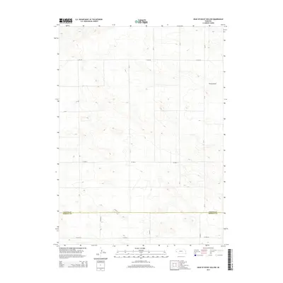
 2011 Head of Rocky Hollow2011 Print · USGSCovers Kimball County, including Banner County, United States, and other nearby areas
 - 2011 Map of Lone Pine Butte, 2011 Print
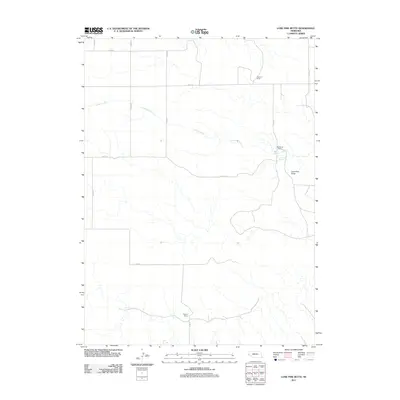 2011 Lone Pine Butte2011 Print · USGSCovers Kimball County, including Banner County, United States, and other nearby areas
 - 2011 Map of Bennett Reservoir East, 2011 Print
 2011 Bennett Reservoir East2011 Print · USGSCovers Kimball County, including United States, Nebraska, and other nearby areas
 - 2011 Map of South of Gabe Rock, 2011 Print
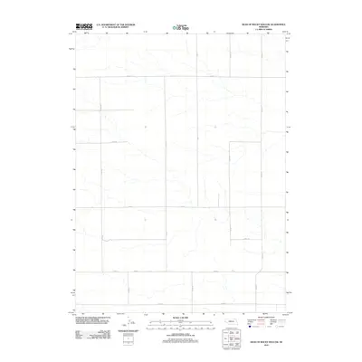
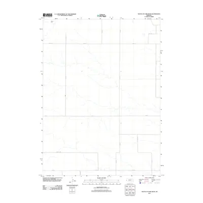 2011 South of Gabe Rock2011 Print · USGSCovers Kimball County, including Banner County, United States, and other nearby areas
 - 2011 Map of Oliver Reservoir, 2011 Print
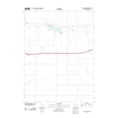 2011 Oliver Reservoir2011 Print · USGSCovers Kimball County, including Oliver, United States, and other nearby areas
 - 2011 Map of Potter SW, 2011 Print
 2011 Potter SW2011 Print · USGSCovers Kimball County, including Logan County, Cheyenne County, and other nearby areas
 - 2014 Map of Head of Rocky Hollow, 2014 Print
 2014 Head of Rocky Hollow2014 Print · USGSCovers Kimball County, including Banner County, United States, and other nearby areas
 - 2014 Map of Owasco, 2014 Print
 2014 Owasco2014 Print · USGSCovers Kimball County, including Owasco, United States, and other nearby areas
 - 2014 Map of Kimball SE, 2014 Print
 2014 Kimball SE2014 Print · USGSCovers Kimball County, including Weld County, Logan County, and other nearby areas
 - 2014 Map of Kimball, 2014 Print
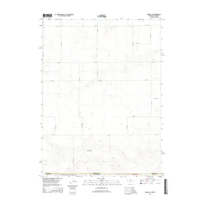
 2014 Kimball2014 Print · USGSCovers Kimball County, including Kimball, United States, and other nearby areas
Showing maps 1-25 of 85
Top cities of Kimball County
Frequently asked questions
- What are the different types of historical maps available for Kimball County?
- What is the oldest map of Kimball County?
- Where can I purchase historical maps of Kimball County for my home or office?
- Where can I download high-res historical maps of Kimball County?
- Are there historical topographic maps available for Kimball County?
- Is there historical aerial imagery available for Kimball County?
- Where are historical maps of Kimball County sourced from?