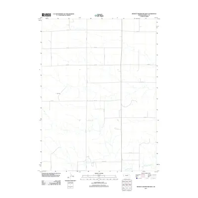
2011 Map of Bennett Reservoir West
USGS Topo · Published 2011About this map
Lodgepole Creek winds through the southern landscape of this Kimball County section, marking a rare watercourse in an area defined by agricultural grids and intermittent drainage. The terrain is structured by a network of county roads, including Co Rd 52 in the north and Longhorn Rd near the southern boundary, reflecting the organized ranching and farming layout of the High Plains. A primary point of local interest is Leek Dam, a small-scale water management feature located in the western portion of the quadrangle. The map captures a moment of modern rural continuity, where traditional land use patterns remain visible through the distribution of farmsteads and the precise alignment of roads like Co Rd 37 and Co Rd 33.
Find a feature on this map
14 named features on this map. Tap any name to fly to it.
Don’t see what you’re looking for? This feature index may not catch every label — zoom into the map to look around manually.
Map Details
Editions of this 2011 Bennett Reservoir West Map
This is the sole edition of this map. No revisions or reprints were ever made.
Other maps of this area

1954 · Scottsbluff
USGS Topo · 1:250,000

1958 · Scottsbluff
USGS Topo · 1:250,000

1972 · Owasco
USGS Topo · 1:24,000

1972 · Kimball
USGS Topo · 1:24,000

1972 · Oliver Reservoir
USGS Topo · 1:24,000

1973 · Kimball 2 NE
USGS Topo · 1:24,000

1973 · Kimball 2 SE
USGS Topo · 1:24,000

1973 · Kimball 1 SE
USGS Topo · 1:24,000

1973 · Kimball 1 NE
USGS Topo · 1:24,000

1973 · Kimball 1 NW
USGS Topo · 1:24,000