
1973 Map of Kimball 2 NE
USGS Topo · Published 1974About this map
The High Plains landscape of Banner County, Nebraska, is documented here through a 1973 orthophotomosaic, revealing the distinct patterns of Western agriculture and topography. The imagery clearly delineates the sharp contrast between center-pivot irrigation circles and traditional rectangular dryland farming plots across the plateau. The most prominent natural drainage feature visible is the rugged incision of Rocky Hollow, which cuts through the central portion of the quadrangle. Unlike a traditional topographic map, this aerial survey provides a direct visual record of the vegetation, erosion patterns, and ranch infrastructure as they existed in the early 1970s, offering researchers an unfiltered look at the Nebraska Panhandle's land use before modern technological shifts in farming.
Find a feature on this map
1 named feature on this map. Tap any name to fly to it.
Don’t see what you’re looking for? This feature index may not catch every label — zoom into the map to look around manually.
Map Details
Editions of this 1973 Kimball 2 NE Map
This is the sole edition of this map. No revisions or reprints were ever made.
Other maps of this area

1898 · Scotts Bluff
USGS Topo · 1:125,000

1954 · Scottsbluff
USGS Topo · 1:250,000

1958 · Scottsbluff
USGS Topo · 1:250,000

1973 · Kimball 2 SE
USGS Topo · 1:24,000
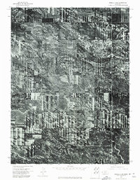
1973 · Kimball 2 SW
USGS Topo · 1:24,000

1973 · Scotts Bluff 4 SW
USGS Topo · 1:24,000

1973 · Scotts Bluff 3 SE
USGS Topo · 1:24,000
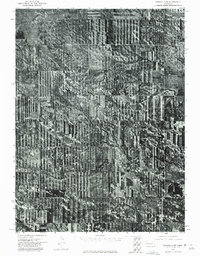
1973 · Kimball 2 NW
USGS Topo · 1:24,000

1973 · Kimball 1 NW
USGS Topo · 1:24,000
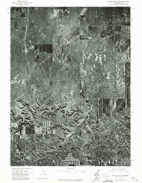
1973 · Scotts Bluff 3 SW
USGS Topo · 1:24,000