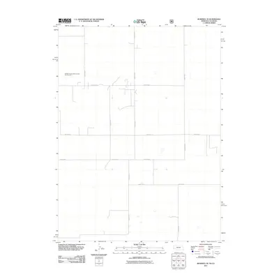
2011 Map of Bushnell SE
USGS Topo · Published 2011About this map
The Kimball County School Lands Dam Number 1 stands as a focal point in this high plains landscape at the border of Colorado and Nebraska. This 2011 survey illustrates a sparse, agricultural environment defined by a rigid grid of rural infrastructure, including County Rd-25 and County Rd-14. The terrain is marked by intermittent drainage patterns and small depressions, typical of the regional geography where water management is critical for land use. Genealogists and local historians can trace the specific property boundaries and access points through the network of routes like County Rd-23 and County Rd-8, which partition the territory into the large blocks characteristic of western range and school lands.
Find a feature on this map
9 named features on this map. Tap any name to fly to it.
Don’t see what you’re looking for? This feature index may not catch every label — zoom into the map to look around manually.
Map Details
Editions of this 2011 Bushnell SE Map
This is the sole edition of this map. No revisions or reprints were ever made.
Other maps of this area

1954 · Sterling
USGS Topo · 1:250,000

1954 · Scottsbluff
USGS Topo · 1:250,000

1958 · Scottsbluff
USGS Topo · 1:250,000

1958 · Sterling
USGS Topo · 1:250,000
1972 · Bushnell SW
USGS Topo · 1:24,000

1972 · Kimball SW
USGS Topo · 1:24,000

1972 · Bushnell
USGS Topo · 1:24,000

1972 · Kimball
USGS Topo · 1:24,000

1972 · Bushnell SE
USGS Topo · 1:24,000

1972 · Oliver Reservoir
USGS Topo · 1:24,000