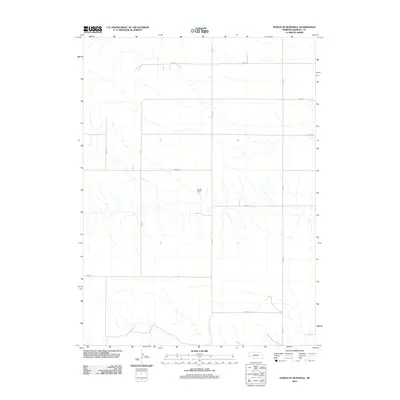
2011 Map of North of Bushnell
USGS Topo · Published 2011About this map
Nelson Dam serves as a primary water management landmark in this high plains section of the Nebraska Panhandle. The landscape is defined by a rigorous section-line grid typical of Kimball County, where long rural routes such as Co Rd-13 and Co Rd-17 traverse the open terrain. This 2011 survey reveals a sparse but deliberate infrastructure oriented around ranching and water conservation, with minor drainages flowing toward the reservoir. Local transportation is facilitated by named thoroughfares like Road 48 N and Co Rd-52, which provide the essential connectivity for this remote agricultural region. The map reflects a period of modern geospatial documentation, capturing the precise positioning of these county roads and hydrology features as they existed at the start of the decade.
Find a feature on this map
12 named features on this map. Tap any name to fly to it.
Don’t see what you’re looking for? This feature index may not catch every label — zoom into the map to look around manually.
Map Details
Editions of this 2011 North of Bushnell Map
This is the sole edition of this map. No revisions or reprints were ever made.
Other maps of this area

1954 · Scottsbluff
USGS Topo · 1:250,000

1954 · Cheyenne
USGS Topo · 1:250,000

1958 · Cheyenne
USGS Topo · 1:250,000

1958 · Scottsbluff
USGS Topo · 1:250,000

1963 · Pine Bluffs
USGS Topo · 1:24,000

1963 · Lindbergh
USGS Topo · 1:24,000

1968 · Pine Bluffs
USGS Topo · 1:24,000

1972 · Bushnell
USGS Topo · 1:24,000

1972 · Oliver Reservoir
USGS Topo · 1:24,000

1973 · Kimball 2 NE
USGS Topo · 1:24,000