2000s (21st Century) Maps of Central City, Nebraska
Explore 16 historic maps of Central City from the 2000s (21st Century). These maps offer a rare glimpse into what life looked like during the 2000s — showing old roads, neighborhoods, homes, and landmarks that have changed or disappeared over time.
Whether you're researching your family's past, planning a metal detecting trip, or studying how Central City's landscape evolved across the 2000s, these high-resolution maps are a powerful tool for exploring the history of this region.
- Focus on a specific era: All maps on this page are from the 2000s, giving you a focused view of this time period.
- See what’s changed: Compare century-old streets, trails, and buildings to today's modern landscape using overlays and satellite layers.
- Research with precision: Use these maps for genealogy, historical research, land use analysis, or educational projects.
- View, download, or print: Maps are fully viewable online in high resolution, and can be downloaded or printed for your own records.
Start exploring Central City's history through authentic maps from the 2000s. This is your window into the past.
Central City, NE maps
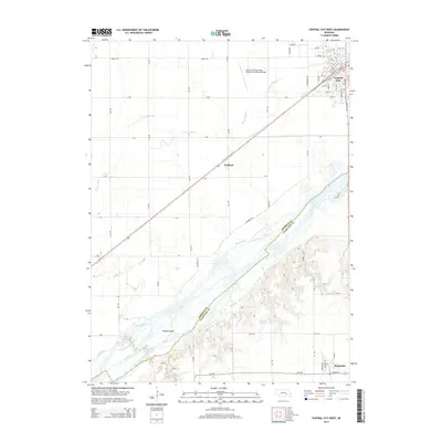
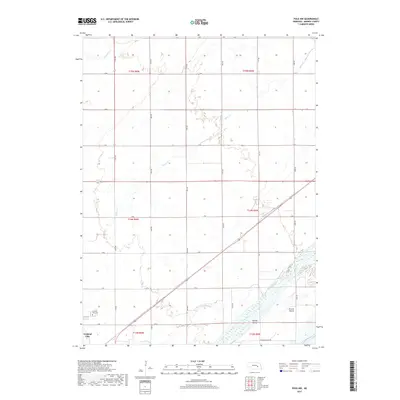
(16)- 2011 Map of Central City East, 2011 Print
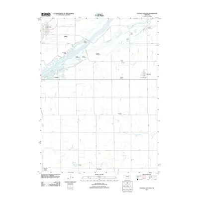 2011 Central City East2011 Print · USGSCovers Central City, including Hordville, Kronborg, and other nearby areas
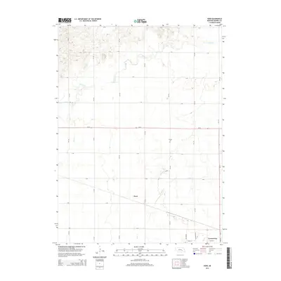
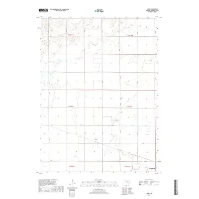
 - 2011 Map of Polk NW, 2011 Print
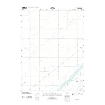 2011 Polk NW2011 Print · USGSCovers Central City, including Merrick County, United States, and other nearby areas
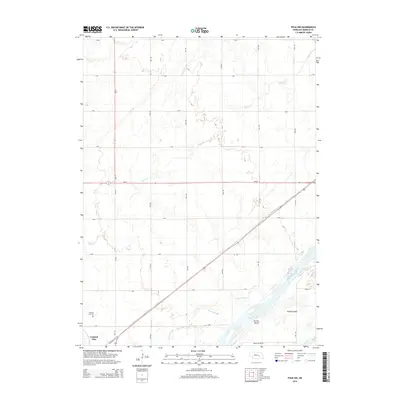
 - 2011 Map of Hord, 2011 Print
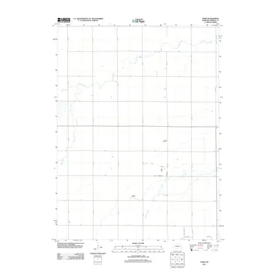 2011 Hord2011 Print · USGSCovers Central City, including Hord, Merrick County, and other nearby areas
 - 2011 Map of Central City West, 2011 Print
 2011 Central City West2011 Print · USGSCovers Central City, including Marquette, Paddock, and other nearby areas
 - 2014 Map of Central City West, 2014 Print
 2014 Central City West2014 Print · USGSCovers Central City, including Marquette, Paddock, and other nearby areas
 - 2014 Map of Hord, 2014 Print
 2014 Hord2014 Print · USGSCovers Central City, including Hord, Merrick County, and other nearby areas
 - 2014 Map of Central City East, 2014 Print
 2014 Central City East2014 Print · USGSCovers Central City, including Hordville, Kronborg, and other nearby areas
 - 2014 Map of Polk NW, 2014 Print
 2014 Polk NW2014 Print · USGSCovers Central City, including Merrick County, United States, and other nearby areas
 - 2017 Map of Polk NW, 2017 Print
 2017 Polk NW2017 Print · USGSCovers Central City, including Merrick County, United States, and other nearby areas
 - 2017 Map of Central City East, 2017 Print
 2017 Central City East2017 Print · USGSCovers Central City, including Hordville, Kronborg, and other nearby areas
 - 2017 Map of Hord, 2017 Print
 2017 Hord2017 Print · USGSCovers Central City, including Hord, Merrick County, and other nearby areas
 - 2017 Map of Central City West, 2017 Print
 2017 Central City West2017 Print · USGSCovers Central City, including Marquette, Paddock, and other nearby areas
 - 2021 Map of Hord, 2021 Print
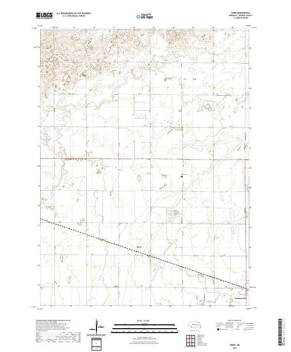 2021 Hord2021 Print · USGSThe Merrick County prairie in the early 2020s shows a sophisticated landscape of agricultural engineering and rural settlement. Genealogists and local historians can trace the lands around Hord, the Burke Cem, and the winding course of Prairie Cr.
 - 2021 Map of Central City West, 2021 Print
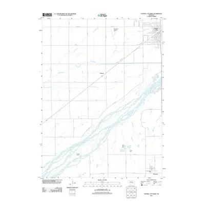
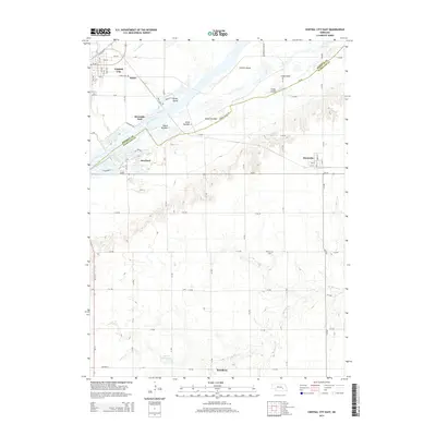
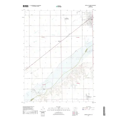
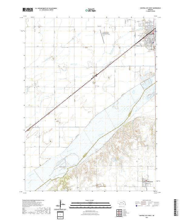 2021 Central City West2021 Print · USGSMerrick County is captured here at the start of the 2020s, centered on the rail hub of Central City and the wide Platte River. Researchers can trace the legacy of the Union Pacific line, the small settlement at Paddock, and islands like Bushes Island along the river channel.
 - 2021 Map of Central City East, 2021 Print
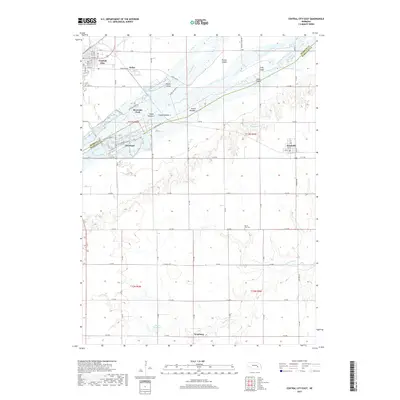
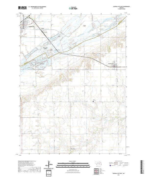 2021 Central City East2021 Print · USGSCentral Nebraska's braided river landscape and agricultural settlements are captured here in the early twenty-first century. Researchers can trace family history through sites like Mount Zion Cem and the small communities of Hordville and Kronborg.
 - 2021 Map of Polk NW, 2021 Print
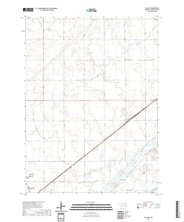 2021 Polk NW2021 Print · USGSThe northern banks of the Platte River near Central City are shown here in the early twenty-first century as the landscape transitions from town to river valley. Local researchers can trace family plots at Central City Cem or follow the paths of Warm Slough and Prairie Cr through the surrounding farmland.
End of results
Showing maps 1-16 of 16
Top cities near Central City
- Clarks historical maps
- Phillips historical maps
- Chapman historical maps
- Polk historical maps
- Marquette historical maps
- Hordville historical maps
See more
Top neighborhoods of Central City
Frequently asked questions
- What are the different types of historical maps available for Central City?
- What is the oldest map of Central City?
- Where can I purchase historical maps of Central City for my home or office?
- Where can I download high-res historical maps of Central City?
- Are there historical topographic maps available for Central City?
- Is there historical aerial imagery available for Central City?
- Where are historical maps of Central City sourced from?