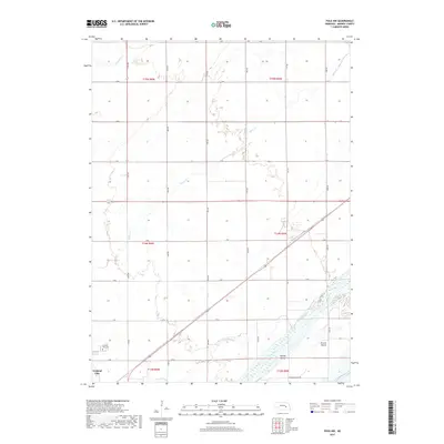
2017 Map of Polk NW
USGS Topo · Published 2017About this map
Central City serves as the primary anchor for this rural landscape in Merrick County, situated just above the winding course of the Platte River. The terrain is defined by a dense grid of local roads and sections, reflecting a high-intensity agricultural environment characteristic of the Great Plains. The water systems, particularly Prairie Cr, weave through the northern portions of the area, providing natural drainage across the flat, productive farmland. This detailed view captures the meticulous parceling of land and the essential infrastructure that supports the region's agricultural economy, showing the clear boundaries and connective roads that define local property and movement around the county seat.
Find a feature on this map
2 named features on this map. Tap any name to fly to it.
Don’t see what you’re looking for? This feature index may not catch every label — zoom into the map to look around manually.
Map Details
Editions of this 2017 Polk NW Map
This is the sole edition of this map. No revisions or reprints were ever made.
Other maps of this area

1896 · Stromsburg
USGS Topo · 1:125,000

1899 · St. Paul
USGS Topo · 1:125,000

1955 · Broken Bow
USGS Topo · 1:250,000

1955 · Belgrade SE
USGS Topo · 1:24,000

1955 · Fremont
USGS Topo · 1:250,000

1956 · Broken Bow
USGS Topo · 1:250,000

1957 · Fremont
USGS Topo · 1:250,000

1958 · Fremont
USGS Topo · 1:250,000

1958 · Fullerton
USGS Topo · 1:24,000

1958 · Havens
USGS Topo · 1:24,000