Old Maps of Central City, Nebraska for Metal Detecting
Plan your next treasure hunt with 29 historic maps of Central City. Find old homesites, ghost towns, trails, and gathering spots that may be lost to time — perfect for identifying promising metal detecting locations.
- Locate forgotten sites: Uncover places like long-lost settlements, abandoned rail lines, or gathering spots.
- Plan better hunts: Use map overlays combined with LiDAR or satellite views to narrow in on historically rich areas.
- Made for detectorists: Thousands of hobbyists use these maps to discover relics, coins, and hidden history.
Use these historic maps to boost your research and find new opportunities beneath the surface of Central City.
Central City, NE maps
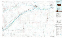
(29)- 1896 Map of Stromsburg
 1896 Stromsburg1896 Print · USGSEast-central Nebraska comes into focus during the late nineteenth-century rail boom, following the vital corridors of the Platte and Loup Rivers. Researchers can trace early township developments and the paths of the Union Pacific R. R. through Stromsburg, Fullerton, and Central City.5 unique versions available
 - 1899 Map of St. Paul
 1899 St. Paul1899 Print · USGSCentral Nebraska's river valleys and rail hubs are preserved here during the expansion of the late 1890s. Researchers can trace the development of St. Paul and Central City alongside curious landmarks like Mumpumpey Hill and the Burlington and Missouri River R. R.4 unique versions available
 - 1955 Map of Broken Bow
 1955 Broken Bow1955 Print · USGSCentral Nebraska in the mid-fifties is defined by the sweeping Sand Hills and the vital river valleys that supported its ranching and rail towns. Researchers can trace the rail corridors of the Union Pacific RR and locate settlements like Dannebrog, Broken Bow, and Brewster.5 unique versions available
 - 1955 Map of Fremont, 1966 Print
 1955 Fremont1966 Print · USGSEastern Nebraska and the Missouri River border are captured during the mid-fifties, just as the interstate system began to emerge. Researchers can trace the development of Omaha, locate the sprawling Offutt Air Force Base, or study the river-bound ecology of the De Soto National Wildlife Refuge.3 unique versions available
 - 1956 Map of Broken Bow
 1956 Broken Bow1956 Print · USGSCentral Nebraska during the mid-fifties reveals a region defined by its river-valley railroads and the rolling Sand Hills. Genealogists and local historians can trace the paths of the Chicago Burlington and Quincy through towns like Broken Bow, Merna, and Anselmo.
 - 1957 Map of Fremont
 1957 Fremont1957 Print · USGSEastern Nebraska and western Iowa thrive along the Platte and Missouri rivers during the mid-fifties. Genealogists can locate small rural schools like Fairview School and tracing the paths of the Union Pacific through towns like Albion and Humphrey.
 - 1958 Map of Fremont
 1958 Fremont1958 Print · USGSEastern Nebraska in the late fifties is captured here as a thriving corridor of river-valley commerce and rail transport. Researchers can trace the development of Omaha and Fremont or locate local landmarks like Midland College and Offutt Air Force Base.
 - 1962 Map of Central City West, 1963 Print
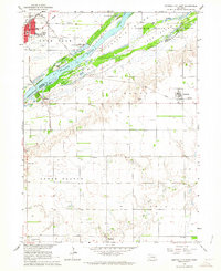
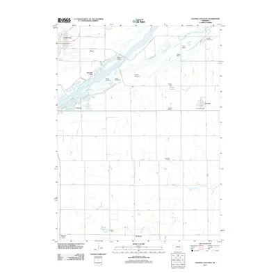
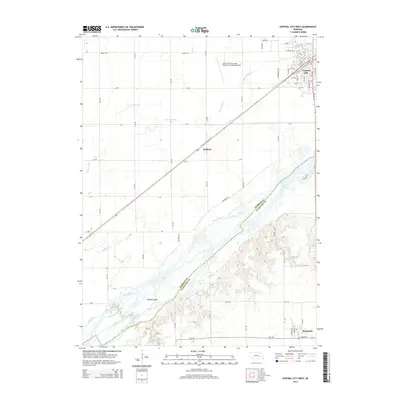
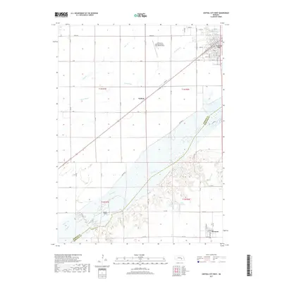
 1962 Central City West1963 Print · USGSMerrick and Hamilton counties appear here in the early sixties as the rail-driven agricultural landscape of the Platte River valley reached its peak maturity. Genealogists and local historians can trace rural school districts from School No 8 to School No 3 and locate landmarks like Bushes Island and Paddock.2 unique versions available
 - 1962 Map of Hord, 1963 Print
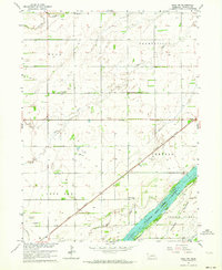
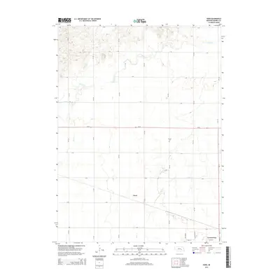
 1962 Hord1963 Print · USGSMerrick County is captured here in the early 1960s, showing a meticulously organized agricultural landscape along the Platte River Valley. Genealogists can locate rural schoolhouses like Comstock Sch and Mead Sch, as well as the Fairview Cem.2 unique versions available
 - 1962 Map of Central City East, 1964 Print
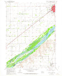
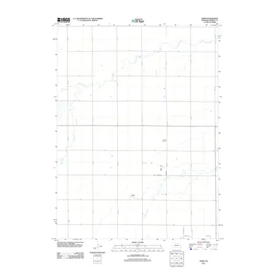
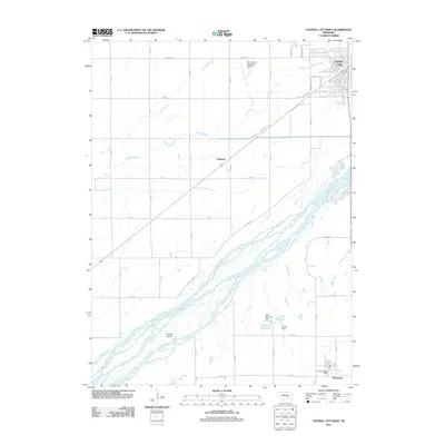
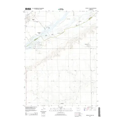
 1962 Central City East1964 Print · USGSThe braided channels of the Platte River dominate this early 1960s survey of the Merrick and Hamilton county line. Genealogists and historians can trace the rural communities of Kronborg and Hordville, or locate landmarks like Mamre Ch and Hord Sch.2 unique versions available
 - 1962 Map of Polk NW, 1964 Print
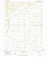
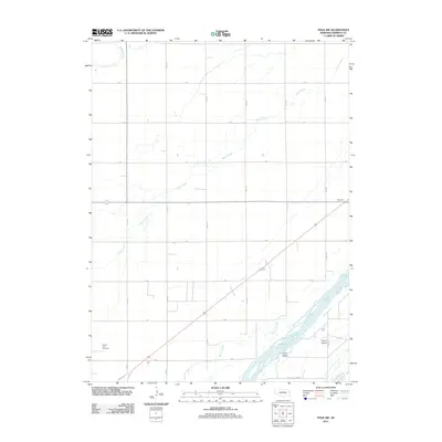
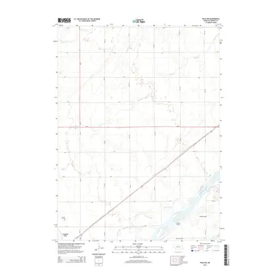
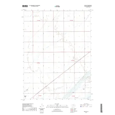
 1962 Polk NW1964 Print · USGSMerrick County agriculture and transportation were in full swing during the early sixties, centered on the Platte River bottomlands. Researchers can locate numerous rural schoolhouses like School No 80 or trace the routes of the Union Pacific and C B & Q railroads.
 - 1985 Map of St. Paul
 1985 St. Paul1985 Print · USGSCentral Nebraska's river valleys and rail towns are captured here in the mid-eighties, showing the region's agricultural and cultural foundations. Researchers can trace historic communities like Dannebrog, Scotia, and Nysted, or locate landmarks such as Sherman Reservoir and Happy Jack Peak.2 unique versions available
 - 1985 Map of David City
 1985 David City1985 Print · USGSCentral Nebraska in the mid-eighties centers on the convergence of the Platte River and Loup River. Trace the rail-and-river economy through towns like Columbus, David City, and Stromsburg, or locate family sites near Swedehome and Surprise.2 unique versions available
 - 2011 Map of Central City East, 2011 Print
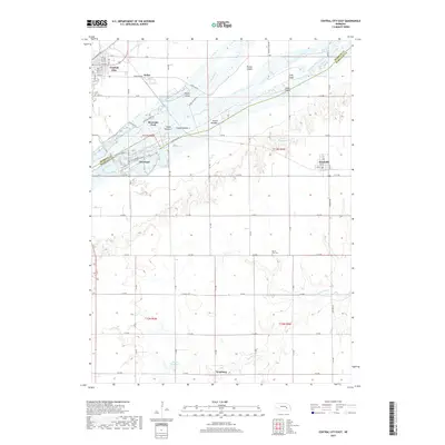
 2011 Central City East2011 Print · USGSCovers Central City, including Hordville, Kronborg, and other nearby areas
 - 2011 Map of Polk NW, 2011 Print
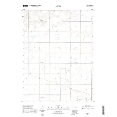
 2011 Polk NW2011 Print · USGSCovers Central City, including Merrick County, United States, and other nearby areas
 - 2011 Map of Hord, 2011 Print
 2011 Hord2011 Print · USGSCovers Central City, including Hord, Merrick County, and other nearby areas
 - 2011 Map of Central City West, 2011 Print
 2011 Central City West2011 Print · USGSCovers Central City, including Marquette, Paddock, and other nearby areas
 - 2014 Map of Central City West, 2014 Print
 2014 Central City West2014 Print · USGSCovers Central City, including Marquette, Paddock, and other nearby areas
 - 2014 Map of Hord, 2014 Print
 2014 Hord2014 Print · USGSCovers Central City, including Hord, Merrick County, and other nearby areas
 - 2014 Map of Central City East, 2014 Print
 2014 Central City East2014 Print · USGSCovers Central City, including Hordville, Kronborg, and other nearby areas
 - 2014 Map of Polk NW, 2014 Print
 2014 Polk NW2014 Print · USGSCovers Central City, including Merrick County, United States, and other nearby areas
 - 2017 Map of Polk NW, 2017 Print
 2017 Polk NW2017 Print · USGSCovers Central City, including Merrick County, United States, and other nearby areas
 - 2017 Map of Central City East, 2017 Print
 2017 Central City East2017 Print · USGSCovers Central City, including Hordville, Kronborg, and other nearby areas
 - 2017 Map of Hord, 2017 Print
 2017 Hord2017 Print · USGSCovers Central City, including Hord, Merrick County, and other nearby areas
 - 2017 Map of Central City West, 2017 Print
 2017 Central City West2017 Print · USGSCovers Central City, including Marquette, Paddock, and other nearby areas
Showing maps 1-25 of 29
Top cities near Central City
- Clarks historical maps
- Phillips historical maps
- Chapman historical maps
- Polk historical maps
- Marquette historical maps
- Hordville historical maps
See more
Top neighborhoods of Central City
Frequently asked questions
- What are the different types of historical maps available for Central City?
- What is the oldest map of Central City?
- Where can I purchase historical maps of Central City for my home or office?
- Where can I download high-res historical maps of Central City?
- Are there historical topographic maps available for Central City?
- Is there historical aerial imagery available for Central City?
- Where are historical maps of Central City sourced from?