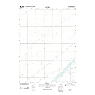
2011 Map of Polk NW
USGS Topo · Published 2011About this map
Silver Creek and Warm Slough define the drainage patterns across this section of Merrick County, where a rigid grid of agricultural roads like 18th Rd and 20th Rd partitions the fertile plains. The landscape is deeply tied to the braided channels of the Platte River in the southeast, which surrounds substantial landmasses including Hurley Island and Prairie Island. This 2011 survey reveals the enduring rural structure of the region, anchored by the Central City Cemetery on the western edge and the small settlement at Thummel along the rail line. The orientation of roads such as Prairie Island Rd follows the river's path, contrasting with the cardinal precision of the section lines that organize the surrounding Nebraska farmland.
Find a feature on this map
23 named features on this map. Tap any name to fly to it.
Don’t see what you’re looking for? This feature index may not catch every label — zoom into the map to look around manually.
Map Details
Editions of this 2011 Polk NW Map
This is the sole edition of this map. No revisions or reprints were ever made.
Other maps of this area

1896 · Stromsburg
USGS Topo · 1:125,000

1899 · St. Paul
USGS Topo · 1:125,000

1955 · Broken Bow
USGS Topo · 1:250,000

1955 · Belgrade SE
USGS Topo · 1:24,000

1955 · Fremont
USGS Topo · 1:250,000

1956 · Broken Bow
USGS Topo · 1:250,000

1957 · Fremont
USGS Topo · 1:250,000

1958 · Fremont
USGS Topo · 1:250,000

1958 · Fullerton
USGS Topo · 1:24,000

1958 · Havens
USGS Topo · 1:24,000