2020s Maps of Perkins County, Nebraska
Explore 32 historic maps of Perkins County from the 2020s. These maps offer a rare glimpse into what life looked like during the 2020s — showing old roads, neighborhoods, homes, and landmarks that have changed or disappeared over time.
Whether you're researching your family's past, planning a metal detecting trip, or studying how Perkins County's landscape evolved across the 2020s, these high-resolution maps are a powerful tool for exploring the history of this region.
- Focus on a specific era: All maps on this page are from the 2020s, giving you a focused view of this time period.
- See what’s changed: Compare century-old streets, trails, and buildings to today's modern landscape using overlays and satellite layers.
- Research with precision: Use these maps for genealogy, historical research, land use analysis, or educational projects.
- View, download, or print: Maps are fully viewable online in high resolution, and can be downloaded or printed for your own records.
Start exploring Perkins County's history through authentic maps from the 2020s. This is your window into the past.
Perkins County, NE maps
(32)- 2021 Map of Venango, 2021 Print
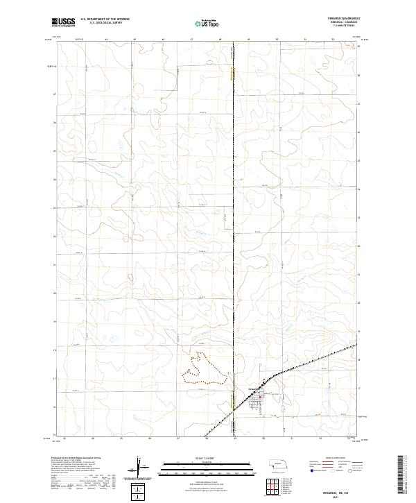 2021 Venango2021 Print · USGSThe High Plains town of Venango sits right at the state line during the early twenty-first century. Genealogists and local researchers can trace the town's grid along Washington St and follow the rural roads like Co Rd 16 and 312 Ave.
 - 2021 Map of Paxton South, 2021 Print
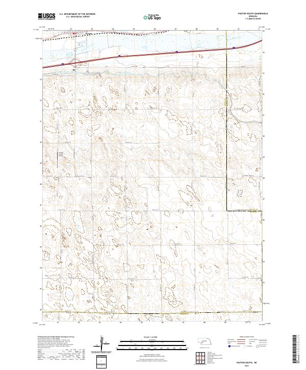 2021 Paxton South2021 Print · USGSThe agricultural plains south of Paxton are meticulously documented in this recent survey, showcasing the vital water systems of the Nebraska sandhills. Researchers can trace family history at Paxton Cem or follow the paths of the Sutherland Canal and the South Platte River.
 - 2021 Map of Sutherland Reservoir West, 2021 Print
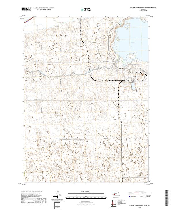 2021 Sutherland Reservoir West2021 Print · USGSLincoln County’s rural landscape is captured here in the early twenty-first century, centered on the critical water management of the High Plains. Genealogists and local historians can trace family land proximity to Sutherland Reservoir, the Sutherland Canal, and named routes like Prairie Trace Rd.
 - 2021 Map of Ogallala SE, 2021 Print
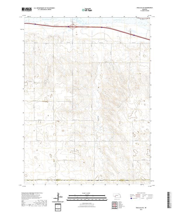 2021 Ogallala SE2021 Print · USGSThe Nebraska High Plains south of the Platte Valley appear in this recent survey of rural Keith and Perkins counties. Researchers can trace the path of the South Platte River and the deep cut of Roscoe Draw through a landscape defined by an extensive grid of section-line roads like Rd East 40.
 - 2021 Map of Paxton SW, 2021 Print
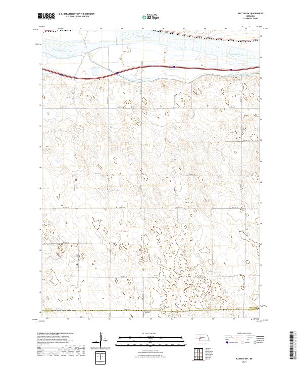 2021 Paxton SW2021 Print · USGSThe rural expanse of the Nebraska plains stretches south from the South Platte River into the western ranchlands during the early 2020s. Researchers can trace the path of the South Platte River Supply Canal or locate local landmarks like Holzfaster's Airport.
 - 2021 Map of Ogallala SW, 2021 Print
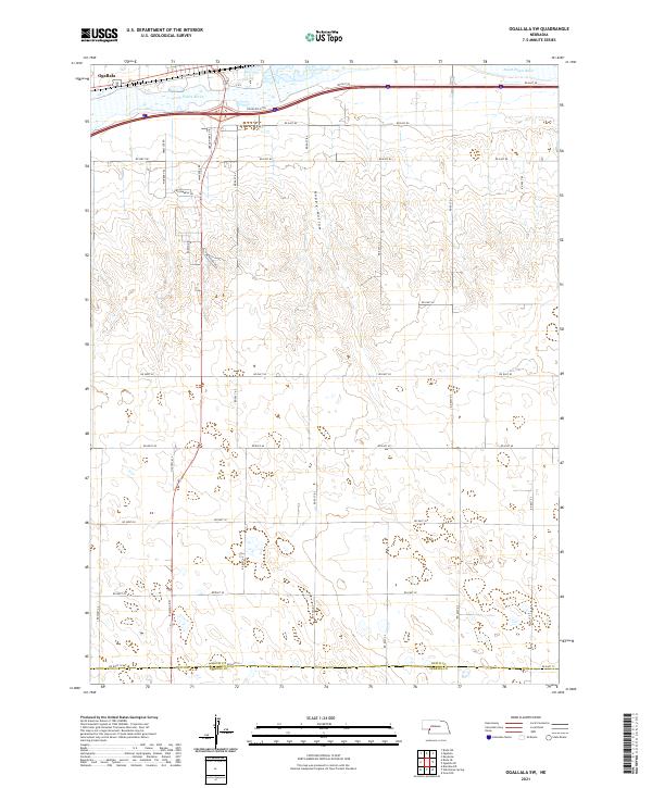 2021 Ogallala SW2021 Print · USGSThe Platte Valley south of Ogallala comes alive in this contemporary survey of the Nebraska sandhills edge. Trace the legacy of westward travel along Stagecoach Trl and Oregon Trail Dr or explore the drainage of Happy Hollow.
 - 2021 Map of Brule SE, 2021 Print
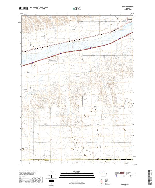 2021 Brule SE2021 Print · USGSIn the Nebraska panhandle during the early 2020s, the landscape south of the river valley maintains its traditional agricultural and aviation character. Researchers can trace the path of the South Platte River, locate the county line at Keith Co Perkins Co, and identify local landmarks like Searle Field.
 - 2021 Map of Brule, 2021 Print
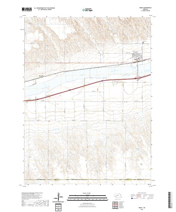 2021 Brule2021 Print · USGSThe South Platte River valley near Brule is shown here in the contemporary era, illustrating the enduring agricultural and transit patterns of western Nebraska. Trace local lineage and land use through the Brule Cem, the community of Megeath, and the Western Canal.
 - 2021 Map of Wallace NW, 2021 Print
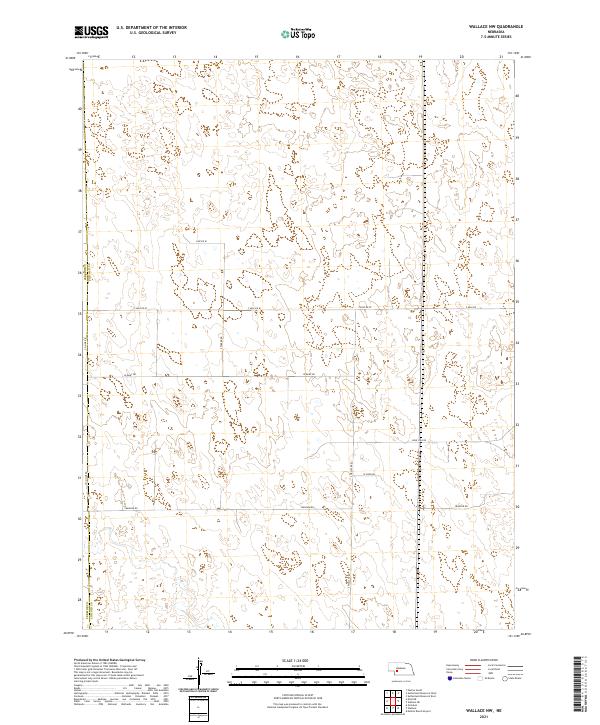 2021 Wallace NW2021 Print · USGSThe border of Perkins Co and Lincoln Co is captured here during the early 2020s, revealing a deep-set agricultural grid. Local researchers can trace family land holdings along Swanson Rd, S Wallace Rd, and the aptly named Lone Star Rd.
 - 2021 Map of Dittons Creek NW, 2021 Print
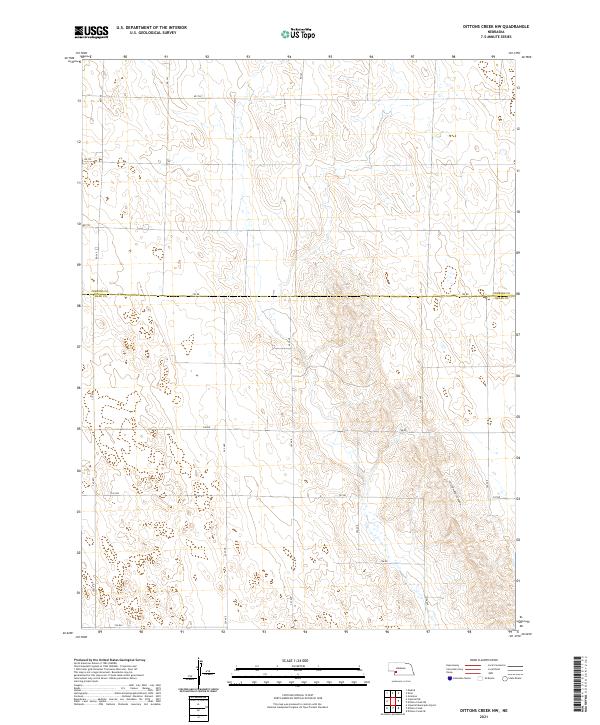 2021 Dittons Creek NW2021 Print · USGSChase and Perkins counties appear here in the early 2020s, showing the intersection of High Plains terrain and rural infrastructure. Genealogists and land researchers can trace property boundaries along 750 Rd or explore the geography of Cliff Dwellers Canyon.
 - 2021 Map of Brandon, 2021 Print
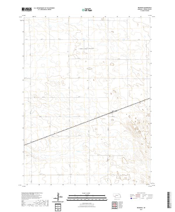 2021 Brandon2021 Print · USGSBrandon sits at the heart of this Perkins County landscape during the early 2020s, where the railroad and rural grid meet. Genealogists and local historians can trace the layout of Brandon along Burke St and locate landmarks like Kumor Airport.
 - 2021 Map of Brandon SE, 2021 Print
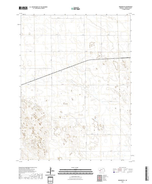 2021 Brandon SE2021 Print · USGSPerkins County's agricultural grid is meticulously detailed in this recent survey of the Nebraska high plains. Genealogists and local historians can trace property boundaries and rural access routes along Rd 761, Co Rd 757, and Rd 322.
 - 2021 Map of Grainton, 2021 Print
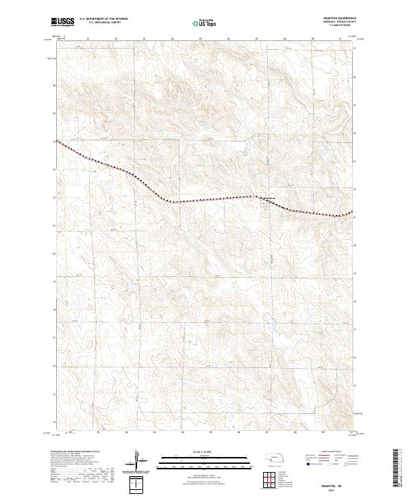 2021 Grainton2021 Print · USGSPerkins County agriculture and the small settlement of Grainton are documented here in the early twenty-first century. Researchers can trace the section-line road network and locate essential water resources like the Harms Reservoir and named routes including Grover Ave.
 - 2021 Map of Grant NE, 2021 Print
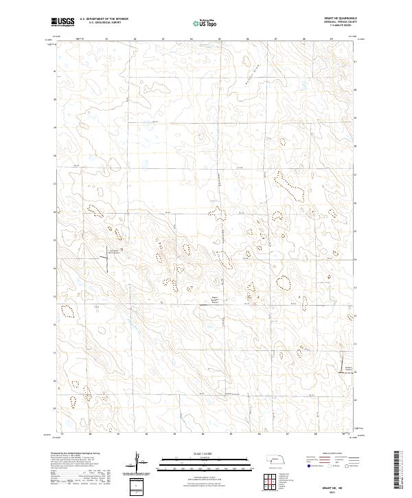 2021 Grant NE2021 Print · USGSPerkins County agriculture and private aviation are at the forefront of this modern survey of the Nebraska high plains. Researchers can trace land divisions along Madrid-Roscoe Rd or locate rural landmarks like Cornelius Farm Airport and Stinking Water Cr.
 - 2021 Map of Imperial NE, 2021 Print
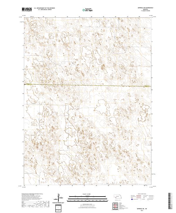 2021 Imperial NE2021 Print · USGSThe high plains along the Perkins Co Chase Co border are captured in this modern survey of Nebraska's open cattle and farm country. Genealogists and local historians can trace property boundaries and rural access via 334 Ave, 745 Rd, and Rd 753.
 - 2021 Map of Imperial NW, 2021 Print
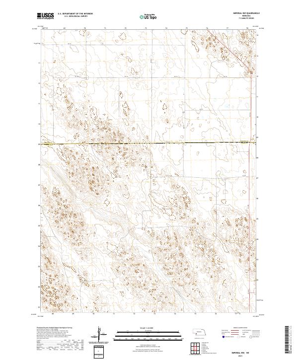 2021 Imperial NW2021 Print · USGSChase and Perkins Counties are captured in this modern survey of the Nebraska plains during the early twenty-first century. Genealogists and local historians can trace modern property access via 750 Rd, 331 Ave, and the county line at Chase Co.
 - 2021 Map of Grant, 2021 Print
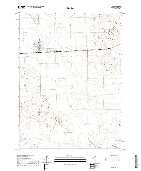 2021 Grant2021 Print · USGSGrant and its surrounding agricultural reaches are detailed here in the early 2020s. Genealogists and local historians can trace the town’s core around the Perkins County Courthouse or locate family plots at the Grant Fairview Cem.
 - 2021 Map of Madrid, 2021 Print
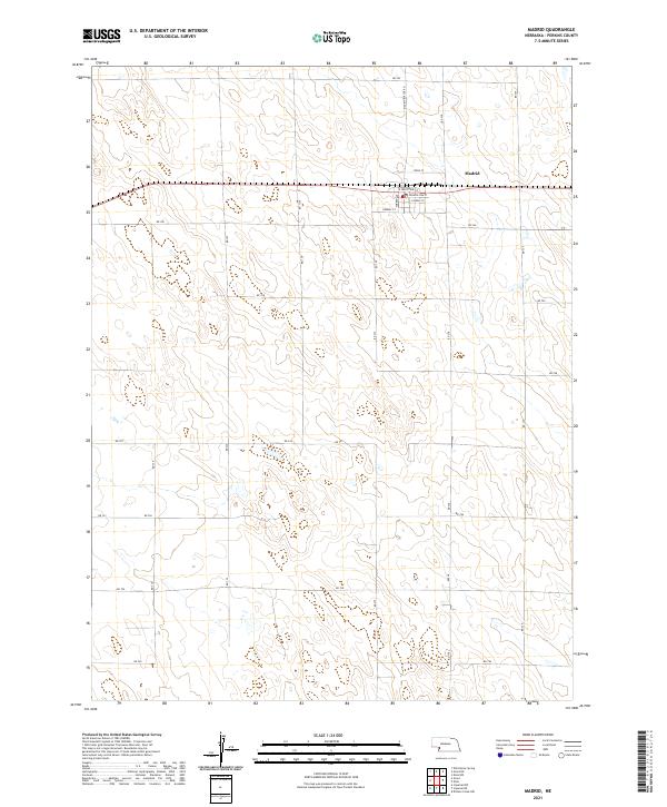 2021 Madrid2021 Print · USGSMadrid and the surrounding plains of Perkins County are captured in this recent survey. Researchers can trace the local street grid through Longfellow St and Forbes Ave, or locate the central PO in the heart of Madrid.
 - 2021 Map of Elsie, 2021 Print
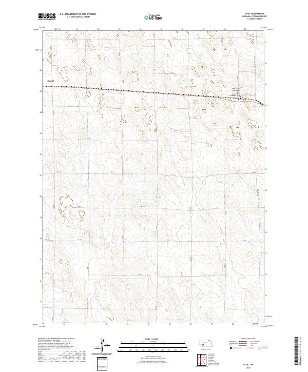 2021 Elsie2021 Print · USGSPerkins County agriculture and the transition between rural townships are on display in this contemporary survey of Nebraska's high plains. Researchers can trace property access and local landmarks along Hwy 23, Paxton-Elsie Rd, and the streets of Elsie.
 - 2021 Map of Brandon NW, 2021 Print
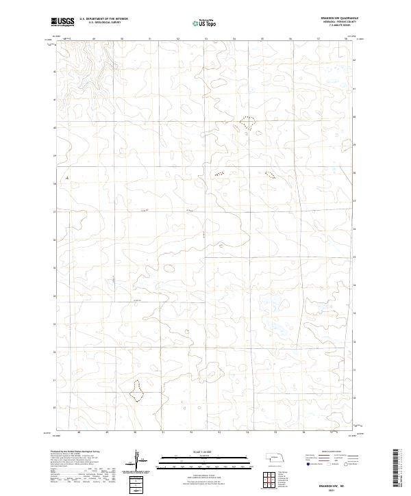 2021 Brandon NW2021 Print · USGSPerkins County in the early 2020s remains a landscape of sprawling agriculture and quiet wetlands defined by its geometric road grid. Researchers can trace rural property access along Co Rd 767 and Co Rd 317 near the junction of T11N R40W and T12N R41W.
 - 2021 Map of Elsie NE, 2021 Print
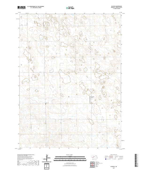 2021 Elsie NE2021 Print · USGSPerkins County's high plains are captured here in the early twenty-first century, showing a landscape defined by industrial-scale agriculture and section-line roads. Researchers can locate Walpole Cem or trace rural aviation at the Coppersmith Airport.
 - 2021 Map of Wild Horse Spring, 2021 Print
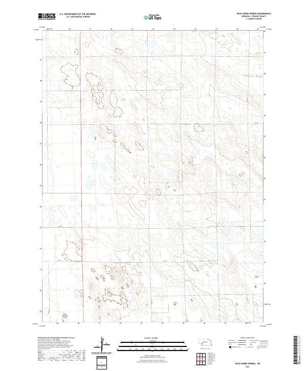 2021 Wild Horse Spring2021 Print · USGSPerkins County and the Nebraska High Plains are shown here in the early 2020s, a landscape defined by ranching and regional aviation. Researchers can trace the section lines and water sources that sustain the area, including Wild Horse Spring and the Grant Municipal Airport.
 - 2021 Map of Wallace, 2021 Print
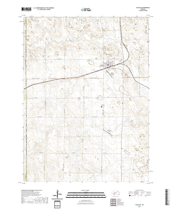 2021 Wallace2021 Print · USGSWallace and the high plains of southern Lincoln County are documented here in the early twenty-first century. Genealogists and local historians can locate Morning View Cem and trace rural landmarks like Van Boening Airport and Red Willow Cr.
 - 2021 Map of Brandon NE, 2021 Print
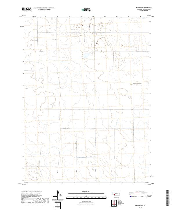 2021 Brandon NE2021 Print · USGSWestern Nebraska's agricultural heartland is captured in this 2021 survey, showing a landscape defined by an orderly grid of section-line roads. Researchers can trace local routes like Rd 763, Rd 322, and Rd 326 through the townships of T12N R39W.
 - 2021 Map of Hayes Center NW, 2021 Print
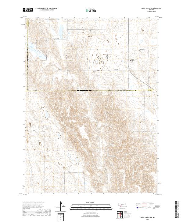 2021 Hayes Center NW2021 Print · USGSThe high plains of southwest Nebraska appear here in the early 2020s, showing a land of deep draws and rural section-line roads. Genealogists and local historians can locate Pleasant View Cem and trace the course of Blackwood Creek across the county line.
Showing maps 1-25 of 32
Top cities of Perkins County
Frequently asked questions
- What are the different types of historical maps available for Perkins County?
- What is the oldest map of Perkins County?
- Where can I purchase historical maps of Perkins County for my home or office?
- Where can I download high-res historical maps of Perkins County?
- Are there historical topographic maps available for Perkins County?
- Is there historical aerial imagery available for Perkins County?
- Where are historical maps of Perkins County sourced from?