2010s Maps of Perkins County, Nebraska
Explore 100 historic maps of Perkins County from the 2010s. These maps offer a rare glimpse into what life looked like during the 2010s — showing old roads, neighborhoods, homes, and landmarks that have changed or disappeared over time.
Whether you're researching your family's past, planning a metal detecting trip, or studying how Perkins County's landscape evolved across the 2010s, these high-resolution maps are a powerful tool for exploring the history of this region.
- Focus on a specific era: All maps on this page are from the 2010s, giving you a focused view of this time period.
- See what’s changed: Compare century-old streets, trails, and buildings to today's modern landscape using overlays and satellite layers.
- Research with precision: Use these maps for genealogy, historical research, land use analysis, or educational projects.
- View, download, or print: Maps are fully viewable online in high resolution, and can be downloaded or printed for your own records.
Start exploring Perkins County's history through authentic maps from the 2010s. This is your window into the past.
Perkins County, NE maps
(100)- 2010 Map of Venango NE, 2010 Print
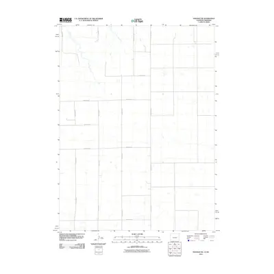 2010 Venango NE2010 Print · USGSSedgwick County at the Colorado-Nebraska border is shown here in its late-modern agricultural form. Genealogists and land researchers can trace property access and township lines along County Rd-30, County Rd-59, and County Rd-61 5/10.
 - 2010 Map of Amherst NE, 2010 Print
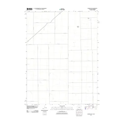 2010 Amherst NE2010 Print · USGSThe high plains of the Colorado-Nebraska border are captured here during the early twenty-first century, showing a landscape of organized agriculture and rural transit. Genealogists and local historians can locate Venango Cemetery and trace the proximity of Dodson Brothers Airport to the sectional road network.
 - 2010 Map of Venango, 2010 Print
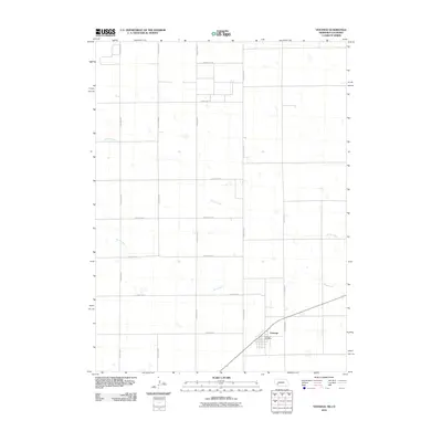 2010 Venango2010 Print · USGSThe Nebraska-Colorado borderlands near the start of the twenty-first century are defined here by a precise agricultural grid and the settlement of Venango. Researchers can trace the local infrastructure around the Venango Post Office and the seasonal paths of Spring Creek and Sand Creek.
 - 2010 Map of Big Springs, 2010 Print
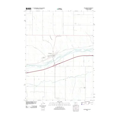 2010 Big Springs2010 Print · USGSThe Nebraska-Colorado borderlands come into focus in 2010 as the South Platte River and irrigation networks shape the plains. Trace family roots at the Big Springs Cemetery or locate regional infrastructure like the Western Canal and Newman Airport.
 - 2011 Map of Big Springs, 2011 Print
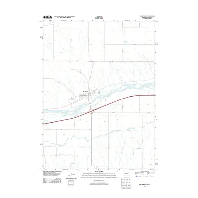 2011 Big Springs2011 Print · USGSBig Springs and the South Platte River valley are captured in the early twenty-first century as the town remains a vital plains hub. Researchers can trace the layout of the local settlement via the Big Springs Post Office, Big Spring Cemetery, and the regional Newman Airport.
 - 2011 Map of Sutherland Reservoir West, 2011 Print
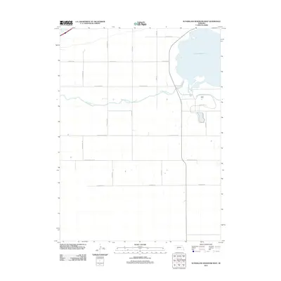 2011 Sutherland Reservoir West2011 Print · USGSThe high plains of Lincoln County appear at the start of the 2010s, defined by the critical irrigation and recreation hub of the Sutherland Reservoir. Researchers can trace the path of the Sutherland Canal or locate rural landmarks along Prairie Trace Rd and W Correction Line Rd.
 - 2011 Map of Ogallala SE, 2011 Print
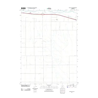 2011 Ogallala SE2011 Print · USGSKeith County at the turn of the decade shows a landscape defined by the South Platte River and its surrounding agricultural grid. Genealogists and local historians can trace the rural road network including Road E High School and the terrain of Roscoe Draw.
 - 2011 Map of Paxton SW, 2011 Print
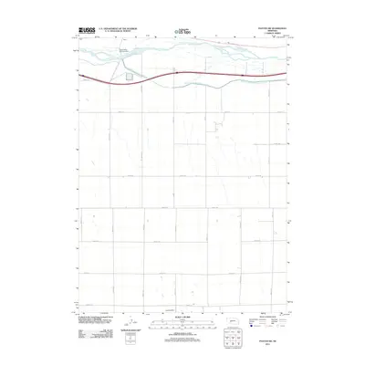 2011 Paxton SW2011 Print · USGSKeith County at the start of the 2010s reveals a landscape defined by the engineering of the South Platte River. Local historians can trace the paths of the South Platte River Supply Canal and the Platte Valley Diversion Dam alongside the settlement of Korty.
 - 2011 Map of Ogallala SW, 2011 Print
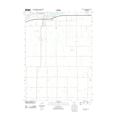 2011 Ogallala SW2011 Print · USGSThe southern reaches of Ogallala meet the Nebraska plains in the early 2000s, where the river valley gives way to an expansive agricultural grid. Genealogists and local historians can trace family-named landmarks like Cornelius Field or locate the Keith County Fairgrounds and Happy Hollow.
 - 2011 Map of Paxton South, 2011 Print
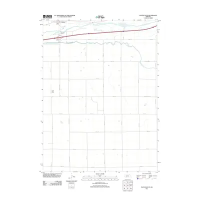 2011 Paxton South2011 Print · USGSThe Nebraska plains south of the Platte are captured here in the early twenty-first century, showing the intersection of vital water infrastructure and rural life. Genealogists and local historians can locate the Paxton Cemetery, Oles Lodge RV Park, and the vital Sutherland Canal.
 - 2011 Map of Brule, 2011 Print
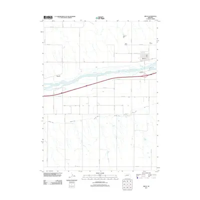 2011 Brule2011 Print · USGSBrule and the surrounding river valley are shown in the early twenty-first century, highlighting the intersection of high-plains agriculture and vital water management. Genealogists and historians can trace local landmarks like Brule Cemetery, the Brule Post Office, and the course of the Western Canal.
 - 2011 Map of Brule SE, 2011 Print
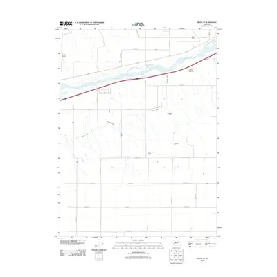 2011 Brule SE2011 Print · USGSThe braided channels of the South Platte River dominate this Keith County landscape during the early twenty-first century. Genealogists and local historians can trace the paths of the Western Canal and locate rural landmarks like Searle Airport and Maloney Dam.
 - 2011 Map of Venango, 2011 Print
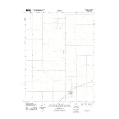 2011 Venango2011 Print · USGSThe Nebraska-Colorado borderlands are captured here in the early 2010s, showing a landscape defined by agricultural grids and high plains watercourses. Genealogists and local historians can trace the village layout of Venango, centered on the Venango Post Office near Sand Creek.
 - 2011 Map of Imperial NE, 2011 Print
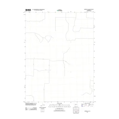 2011 Imperial NE2011 Print · USGSChase County in the early twenty-first century shows a landscape of expansive Nebraska prairie and organized agriculture. Genealogists and land researchers can trace property boundaries along the section-line grid of 334 Ave, 749 Rd, and 337 Ave.
 - 2011 Map of Grainton, 2011 Print
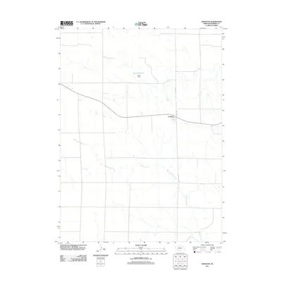 2011 Grainton2011 Print · USGSGrainton and the surrounding Perkins County tablelands are captured here during the early twenty-first century. Researchers can trace the intersection of regional history at Grainton and follow the course of Blackwood Creek past Harms Reservoir.
 - 2011 Map of Madrid, 2011 Print
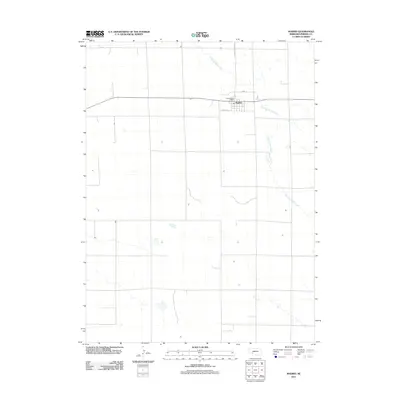 2011 Madrid2011 Print · USGSThe village of Madrid sits amidst the high plains of Nebraska during the early twenty-first century. Researchers can trace the local street grid and infrastructure, from the Madrid Post Office to the winding drainage of Stinking Water Creek.
 - 2011 Map of Brandon NW, 2011 Print
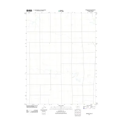 2011 Brandon NW2011 Print · USGSCovers Perkins County, including United States, Nebraska, and other nearby areas
 - 2011 Map of Elsie, 2011 Print
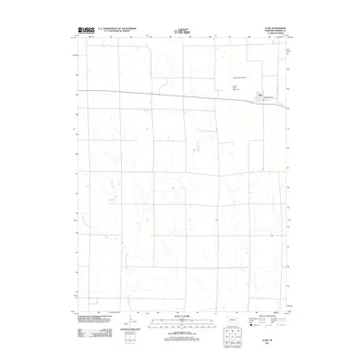 2011 Elsie2011 Print · USGSPerkins County agriculture and the small community of Elsie are documented here during the early twenty-first century. Researchers can trace the local water management through Schack Dam Number 1 or locate the central Elsie Post Office and Stinking Water Creek.
 - 2011 Map of Brandon NE, 2011 Print
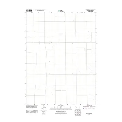 2011 Brandon NE2011 Print · USGSCovers Perkins County, including United States, Nebraska, and other nearby areas
 - 2011 Map of Elsie NE, 2011 Print
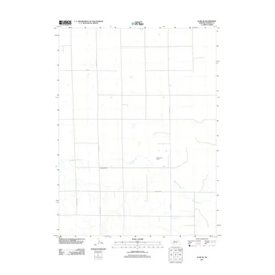 2011 Elsie NE2011 Print · USGSPerkins County in the early 2010s reveals a structured agricultural landscape shaped by the course of Red Willow Creek. Genealogists and local historians can locate Walpole Cemetery or trace the rural transport corridor along Paxton-Elsie Rd and Grover Ave.
 - 2011 Map of Imperial NW, 2011 Print
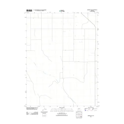 2011 Imperial NW2011 Print · USGSWestern Nebraska's agricultural landscape is captured here in the early twenty-first century, defined by a rigid grid of section roads. Researchers can trace rural property lines and drainage patterns along Spring Creek, 750 Rd, and 331 Ave.
 - 2011 Map of Dittons Creek NW, 2011 Print
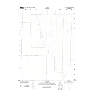 2011 Dittons Creek NW2011 Print · USGSChase County agricultural lands are captured here in the early twenty-first century, showing the intersection of rural infrastructure and Nebraska prairie. Researchers can trace the path of Stinking Water Creek and locate the Stinking Water Creek Airport among the section roads like 750 Rd.
 - 2011 Map of Lamar NW, 2011 Print
 2011 Lamar NW2011 Print · USGSChase County, Nebraska, is shown here in the early twenty-first century, revealing a landscape defined by an orderly grid of rural section-line roads. Genealogists and local historians can trace specific properties and transport routes like Brandon Rd and 748 Rd.
 - 2011 Map of Brandon SE, 2011 Print
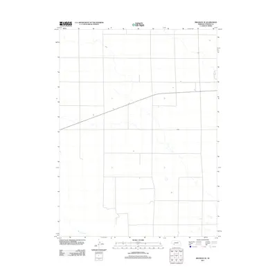 2011 Brandon SE2011 Print · USGSPerkins County at the start of the second decade of the 2000s shows the enduring, open character of Nebraska's high plains. Researchers can trace the path of Spring Creek and examine the precise grid of section lines and rural routes that define this agricultural landscape.
 - 2011 Map of Wallace NW, 2011 Print
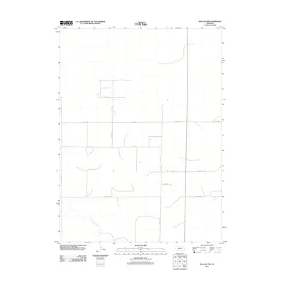 2011 Wallace NW2011 Print · USGSAgricultural Lincoln County is shown here in the early 2010s, revealing a landscape dominated by section-line roads and the winding Red Willow Creek. Trace rural property boundaries along Lone Star Rd, W Dairy Rd, and S Parker Rd.
Showing maps 1-25 of 100
Top cities of Perkins County
Frequently asked questions
- What are the different types of historical maps available for Perkins County?
- What is the oldest map of Perkins County?
- Where can I purchase historical maps of Perkins County for my home or office?
- Where can I download high-res historical maps of Perkins County?
- Are there historical topographic maps available for Perkins County?
- Is there historical aerial imagery available for Perkins County?
- Where are historical maps of Perkins County sourced from?