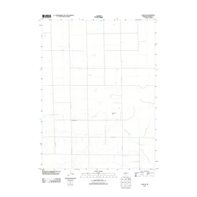
2011 Map of Elsie NE
USGS Topo · Published 2011About this map
Red Willow Creek meanders through the southern reaches of this Perkins County landscape, providing the primary drainage for an otherwise structured grid of section lines and rural thoroughfares. This high-plains terrain is largely defined by agricultural geometry, punctuated by sparse but significant landmarks that anchor the local community. Near the center of the sheet, the Walpole Cemetery serves as a critical point of reference for genealogists and local historians, situated just south of the intersection of Paxton-Elsie Rd and Road E. Further east, the Coppersmith Airport sits north of the creek, while the passage of Grover Ave and Swanson Rd W helps delineate the movement of goods and people across the Nebraska prairie in the early twenty-first century.
Find a feature on this map
7 named features on this map. Tap any name to fly to it.
Don’t see what you’re looking for? This feature index may not catch every label — zoom into the map to look around manually.
Map Details
Editions of this 2011 Elsie NE Map
This is the sole edition of this map. No revisions or reprints were ever made.
Other maps of this area

1898 · Paxton
USGS Topo · 1:125,000

1901 · Paxton
USGS Topo · 1:125,000

1954 · McCook
USGS Topo · 1:250,000

1954 · North Platte
USGS Topo · 1:250,000

1956 · North Platte
USGS Topo · 1:250,000

1957 · North Platte
USGS Topo · 1:250,000

1957 · McCook
USGS Topo · 1:250,000

1958 · McCook
USGS Topo · 1:250,000

1967 · North Platte
USGS Topo · 1:250,000

1971 · Sutherland Reservoir West
USGS Topo · 1:24,000