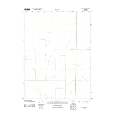
2011 Map of Wallace NW
USGS Topo · Published 2011About this map
Red Willow Creek meanders through the southwestern corner of this landscape, providing a rare water source in an otherwise strictly partitioned agricultural region of Lincoln County. The land is defined by a rigid section-line road network typical of the Great Plains, where routes like N Wallace Rd and W 7 Mile Rd mark the boundaries of large-scale farming operations. This 2011 survey reveals the precise geometry of rural Nebraska, documenting the placement of livestock-related infrastructure and irrigation patterns. Names like W Dairy Rd and W Corn Rd reflect the primary commodities of the local economy, while Lone Star Rd and W Parker Rd suggest family-named heritage in a region where few major settlements are found. The map provides a detailed look at the rural infrastructure required to maintain this high-plains agricultural production.
Find a feature on this map
11 named features on this map. Tap any name to fly to it.
Don’t see what you’re looking for? This feature index may not catch every label — zoom into the map to look around manually.
Map Details
Editions of this 2011 Wallace NW Map
This is the sole edition of this map. No revisions or reprints were ever made.
Other maps of this area

1898 · Paxton
USGS Topo · 1:125,000

1901 · Paxton
USGS Topo · 1:125,000

1954 · McCook
USGS Topo · 1:250,000

1954 · North Platte
USGS Topo · 1:250,000

1956 · North Platte
USGS Topo · 1:250,000

1957 · North Platte
USGS Topo · 1:250,000

1957 · McCook
USGS Topo · 1:250,000

1958 · McCook
USGS Topo · 1:250,000

1967 · North Platte
USGS Topo · 1:250,000

1971 · Sutherland Reservoir West
USGS Topo · 1:24,000