2010s Maps of Phelps County, Nebraska
Explore 60 historic maps of Phelps County from the 2010s. These maps offer a rare glimpse into what life looked like during the 2010s — showing old roads, neighborhoods, homes, and landmarks that have changed or disappeared over time.
Whether you're researching your family's past, planning a metal detecting trip, or studying how Phelps County's landscape evolved across the 2010s, these high-resolution maps are a powerful tool for exploring the history of this region.
- Focus on a specific era: All maps on this page are from the 2010s, giving you a focused view of this time period.
- See what’s changed: Compare century-old streets, trails, and buildings to today's modern landscape using overlays and satellite layers.
- Research with precision: Use these maps for genealogy, historical research, land use analysis, or educational projects.
- View, download, or print: Maps are fully viewable online in high resolution, and can be downloaded or printed for your own records.
Start exploring Phelps County's history through authentic maps from the 2010s. This is your window into the past.
Phelps County, NE maps
(60)- 2011 Map of Elm Creek SW, 2011 Print
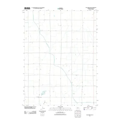 2011 Elm Creek SW2011 Print · USGSPhelps County at the start of the 2010s reveals a landscape defined by industrial-scale agriculture and essential irrigation networks. Genealogists and local historians can trace the paths of the Phelps County Canal and the natural basin of Moses Hill Lagoon.
 - 2011 Map of Loomis, 2011 Print
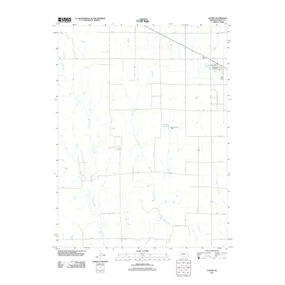 2011 Loomis2011 Print · USGSThe village of Loomis and its surrounding Phelps County farmland are captured here in the early twenty-first century. Genealogists and local historians can locate the Shaw Cemetery and Linder Stock Farms among the banks of Spring Creek and Elm Creek.
 - 2011 Map of Axtell West, 2011 Print
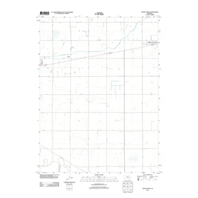 2011 Axtell West2011 Print · USGSKearney County's agricultural grid is captured here during the early twenty-first century as irrigation and transport define the local economy. Researchers can locate the Fridhem Cemetery and trace the paths of the Phelps County Canal near the settlements of Axtell and Funk.
 - 2011 Map of Ragan, 2011 Print
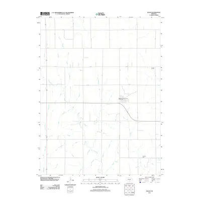 2011 Ragan2011 Print · USGSThe rural prairie landscape around Ragan is captured here during the early twenty-first century, showing a region defined by agricultural grids and creek beds. Researchers can locate the Ragan Post Office, Antelope Cemetery, and several family-named landmarks like Hoffman Dam.
 - 2011 Map of Elm Creek SE, 2011 Print
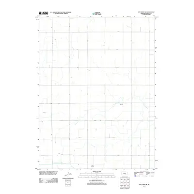 2011 Elm Creek SE2011 Print · USGSPhelps County in the early twenty-first century remains a landscape of systematic agriculture and essential water management. Genealogists and local historians can trace family locations along the grid of section roads near McGill Cemetery and the Phelps County Canal.
 - 2011 Map of Overton, 2011 Print
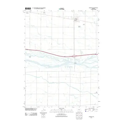 2011 Overton2011 Print · USGSDawson County agriculture and the braided Platte River are captured in the early twenty-first century. Researchers can locate the Overton Post Office, trace the Phelps County Canal, and find family sites at Overton Cemetery and Platte Valley Cemetery.
 - 2011 Map of Elm Creek East, 2011 Print
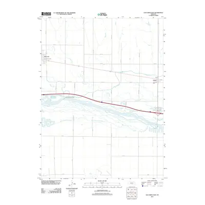 2011 Elm Creek East2011 Print · USGSThe Platte River valley in the early 2010s shows a landscape defined by braided river channels and vital irrigation works. Researchers can trace the path of the Kearney Canal from the Kearney Diversion Dam past the post offices at Elm Creek and Odessa.
 - 2011 Map of Kearney SW, 2011 Print
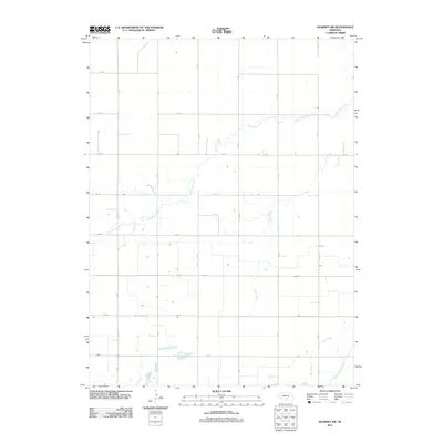 2011 Kearney SW2011 Print · USGSAgricultural patterns in Kearney County are captured here just after the turn of the millennium, showing a landscape defined by irrigation and section-line roads. Trace the path of the Phelps County Canal and the natural drainage of North Dry Creek and Lost Creek.
 - 2011 Map of Wilcox, 2011 Print
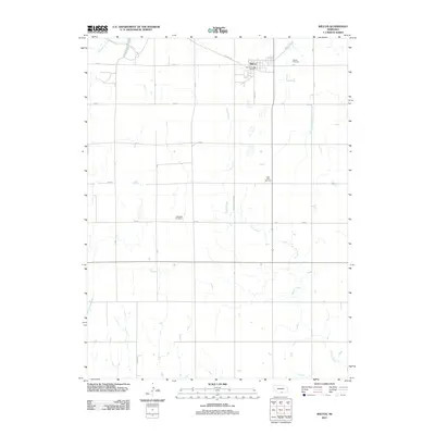 2011 Wilcox2011 Print · USGSWilcox and the surrounding Nebraska plains are captured here in the early twenty-first century as a well-ordered agricultural landscape. Genealogists can locate several local burying grounds, such as Saint Johns Cemetery and Freewater Cemetery, along the rural 725 Rd corridors.
 - 2011 Map of Holdrege East, 2011 Print
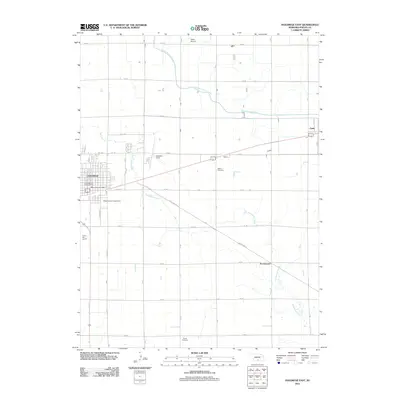 2011 Holdrege East2011 Print · USGSHoldrege and the surrounding Nebraska farmland are captured here in the early twenty-first century, showcasing a landscape of high-plains agriculture and small-town life. Researchers can locate family sites at Bethel Cemetery or Prairie Cemetery and trace the routes connecting Funk to Sacramento.
 - 2011 Map of Atlanta, 2011 Print
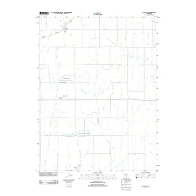 2011 Atlanta2011 Print · USGSThe village of Atlanta and its surrounding Phelps County farmland are shown here in the early twenty-first century. Researchers can trace land use through family-named landmarks like Peterson North Reservoir, McDonald Reservoir, and the Atlanta Post Office.
 - 2011 Map of Oxford NW, 2011 Print
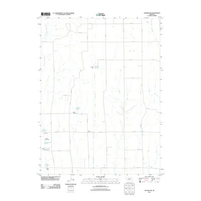 2011 Oxford NW2011 Print · USGSPhelps County agricultural lands are captured here in the early twenty-first century, showing a highly organized landscape of section roads and water management. Genealogists and researchers can locate Zion Cemetery and trace a network of private water works including Ebneier Reservoir and Gardner-Larson Reservoir.
 - 2011 Map of Alfalfa Center, 2011 Print
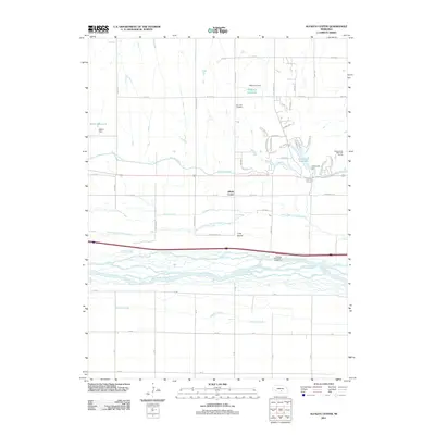 2011 Alfalfa Center2011 Print · USGSThe braided channels of the Platte River valley dominate this Nebraska landscape in the early twenty-first century. Researchers can trace the path of the Kearney Canal and locate local landmarks like Dove Hill Cemetery or the community of Alfalfa Center.
 - 2011 Map of Holdrege West, 2011 Print
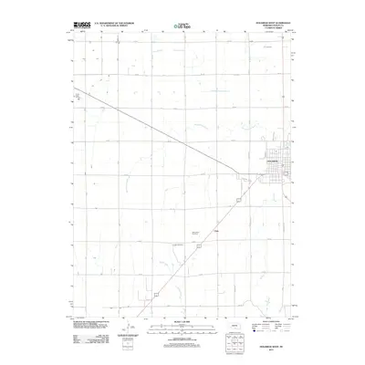 2011 Holdrege West2011 Print · USGSThe western edge of Phelps County is captured here in the early 2000s, showcasing the transition from town to high-plains farmland. Researchers can trace the development of Holdrege and Chrisoma Villa, or find family landmarks like the Industry Cemetery and Linder Stock Farms.
 - 2011 Map of Bertrand NW, 2011 Print
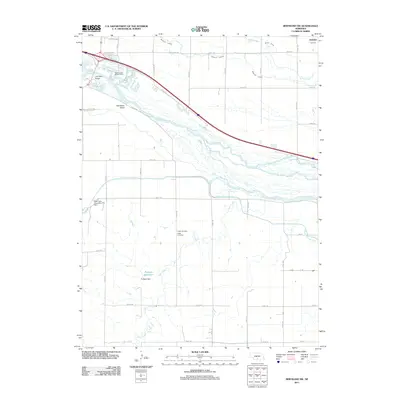 2011 Bertrand NW2011 Print · USGSNear Lexington at the start of the 2010s, this landscape shows the intricate braided channels of the river and the engineering of the Nebraska plains. Genealogists and local historians can locate the Robb Cemetery, the Josselyn settlement, and the Westminster Woods Camp.
 - 2011 Map of Elm Creek West, 2011 Print
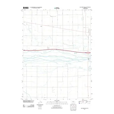 2011 Elm Creek West2011 Print · USGSThe braided channels of the Platte River valley are captured here in the early 21st century, showing a landscape defined by irrigation and river crossings. Genealogists and local historians can trace the settlement of Trued and locate landmarks like the Platte River Bridge and Dawson County Canal.
 - 2011 Map of Bertrand, 2011 Print
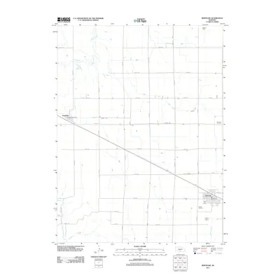 2011 Bertrand2011 Print · USGSBertrand and Smithfield are captured here in the early 21st century, showcasing the enduring agricultural grid and rail-aligned settlements of Phelps County. Genealogists and local historians can locate specific sites like Highland Cemetery, Immanuel Cemetery, and the Smithfield Post Office.
 - 2011 Map of Oxford, 2011 Print
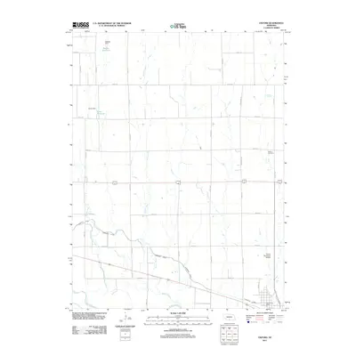 2011 Oxford2011 Print · USGSOxford and its surrounding plains are seen here in the early 21st century, dominated by the Republican River and a complex irrigation network. Genealogists and local historians can locate Kellner Cemetery and trace the path of the Cambridge Canal.
 - 2011 Map of Mascot, 2011 Print
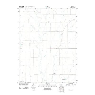 2011 Mascot2011 Print · USGSAgricultural life in south-central Nebraska is centered here during the early twenty-first century, showing the small settlement of Mascot. Genealogists and researchers can trace local family roots at the Oxford Cemetery or locate landmarks like Lueking Reservoir and the Cambridge Canal.
 - 2011 Map of Bertrand SE, 2011 Print
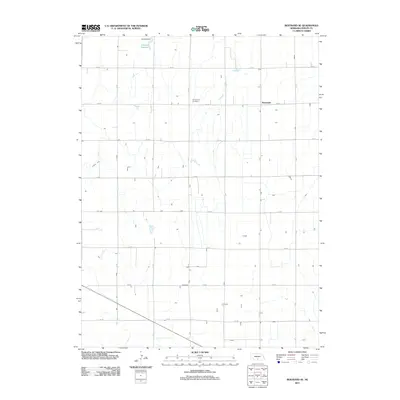 2011 Bertrand SE2011 Print · USGSThe Nebraska prairie south of the Platte River shows its modern agricultural character in the early 2010s. Genealogists and local historians can locate the Sandstrom Cemetery and the settlement at Westmark near the engineering works of Johnson Dam.
 - 2014 Map of Elm Creek SE, 2014 Print
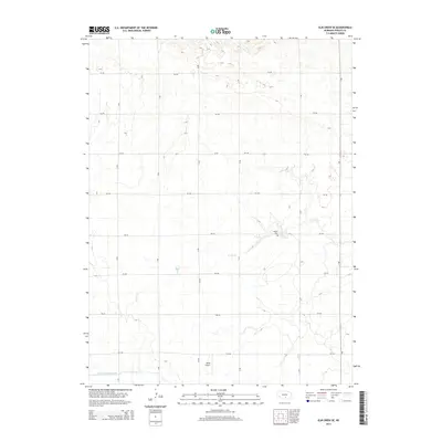 2014 Elm Creek SE2014 Print · USGSPhelps County's agricultural grid is captured here during the mid-2010s, showing a landscape defined by irrigation and section-line travel. Genealogists and local researchers can locate the McGill Cem or trace the path of N Dry Cr and the Phelps County Canal.
 - 2014 Map of Elm Creek West, 2014 Print
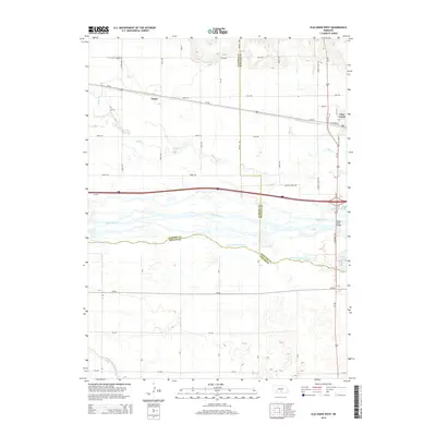 2014 Elm Creek West2014 Print · USGSCentral Nebraska's river-driven geography is on full display here in the early twenty-first century. Genealogists and historians can trace old transit lines like the Old 183 Cutoff and identify family-named roads near Trued and Elm Creek.
 - 2014 Map of Bertrand, 2014 Print
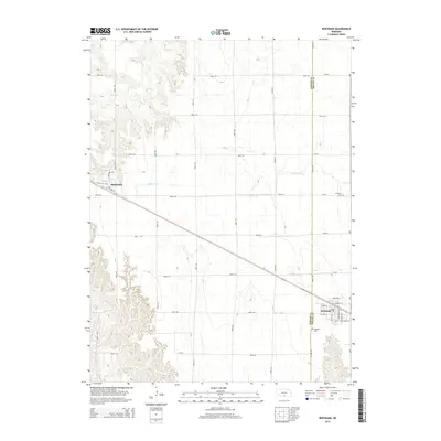 2014 Bertrand2014 Print · USGSThe agricultural plains of the Gosper and Phelps County border are captured here in the early twenty-first century. Researchers can trace the layout of Bertrand and Smithfield, or locate rural landmarks like Highland Cemetery and Lateral E-65.
 - 2014 Map of Mascot, 2014 Print
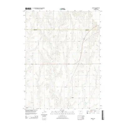 2014 Mascot2014 Print · USGSSouth-central Nebraska's agricultural heartland is captured here in the early twenty-first century as it spans the Harlan and Phelps county line. Genealogists and local historians can locate Mascot and Oxford, alongside rural landmarks like Spring Grove Cemetery and Lucking Reservoir.
 - 2014 Map of Elm Creek SW, 2014 Print
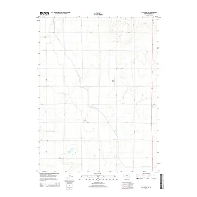 2014 Elm Creek SW2014 Print · USGSPhelps County agriculture and water management are on full display in this mid-2010s survey of central Nebraska. Researchers can trace the path of the Phelps County Canal and locate local landmarks like Olson Field and Moses Hill Lagoon.
Showing maps 1-25 of 60
Top cities of Phelps County
- Holdrege historical maps
- Bertrand historical maps
- Loomis historical maps
- Westmark historical maps
- Funk historical maps
- Atlanta historical maps
Frequently asked questions
- What are the different types of historical maps available for Phelps County?
- What is the oldest map of Phelps County?
- Where can I purchase historical maps of Phelps County for my home or office?
- Where can I download high-res historical maps of Phelps County?
- Are there historical topographic maps available for Phelps County?
- Is there historical aerial imagery available for Phelps County?
- Where are historical maps of Phelps County sourced from?