Old Maps of Bertrand, Nebraska for Hiking & Exploration
Hike through history with 16 historic maps of Bertrand. Explore old trails, ghost towns, and forgotten backroads — perfect for outdoor adventurers and local explorers.
- Rediscover forgotten places: Map out old mining camps, roads, and footpaths that no longer exist on modern maps.
- Layer with modern tools: Combine with LiDAR or satellite views to plan hikes through historical terrain.
- Made for exploration: Popular among hikers, overlanders, and local history lovers.
Use these maps to find adventure and explore the hidden past of Bertrand.
Bertrand, NE maps
(16)- 1896 Map of Lexington
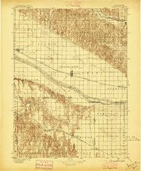 1896 Lexington1896 Print · USGSDawson and Gosper Counties in the mid-1890s are defined by the convergence of the Platte River and competing railroad lines. Genealogists can trace family settlements along the Union Pacific R. R. and the Burlington and Missouri River R. R., locating early sites like Elwood and Coyote.
 - 1899 Map of Lexington
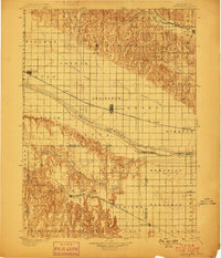 1899 Lexington1899 Print · USGSDawson and Gosper counties are captured during a period of rapid prairie development following the arrival of the transcontinental rails. Genealogists can trace the early grids of rail towns like Lexington and Bertrand or the spans of the Lexington Bridge.7 unique versions available
 - 1955 Map of Grand Island, 1967 Print
 1955 Grand Island1967 Print · USGSCentral Nebraska is seen here during a period of industrial and agricultural growth, centered on the vital Platte River corridor. Researchers can trace the mid-century footprints of the U S Naval Ammunition Depot and the Cornhusker Ordnance Plant.3 unique versions available
 - 1957 Map of Grand Island
 1957 Grand Island1957 Print · USGSCentral Nebraska and Northern Kansas are shown here during a period of massive hydraulic and military expansion in the mid-fifties. Researchers can trace the development of the Harlan County Reservoir and the massive wartime legacy of the Cornhusker Ordnance Plant.
 - 1958 Map of Grand Island
 1958 Grand Island1958 Print · USGSSouth-central Nebraska thrived as a rail and industrial hub during the late fifties, shaped by the braided Platte River. Genealogists and historians can trace rail lines like the Union Pacific RR through towns such as Kearney or locate the sprawling Cornhusker Ordnance Plant.
 - 1970 Map of Bertrand SE, 1972 Print
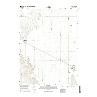
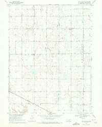 1970 Bertrand SE1972 Print · USGSThe Phelps County plains in the early seventies show a landscape of intensive irrigation and rail transport. Researchers can locate the Sandstrom Cem and trace the Burlington Northern tracks as they pass through Bertrand.
 - 1971 Map of Bertrand, 1973 Print
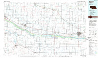
 1971 Bertrand1973 Print · USGSThe border of Phelps and Gosper Counties comes into focus in the early seventies, showing a landscape of Nebraska prairie and vital irrigation. Researchers can trace the Burlington Northern rail line connecting Smithfield and Bertrand, or find family names near Highland Cem.
 - 1985 Map of Kearney
 1985 Kearney1985 Print · USGSMid-1980s Nebraska life centers on the fertile Platte River valley during a period of significant agricultural and hydraulic development. Researchers can trace irrigation networks like the Phelps County Canal and find regional landmarks from Johnson Lake to the Union Pacific rail lines.2 unique versions available
 - 2011 Map of Bertrand, 2011 Print
 2011 Bertrand2011 Print · USGSCovers Bertrand, including Smithfield, Phelps County, and other nearby areas
 - 2011 Map of Bertrand SE, 2011 Print
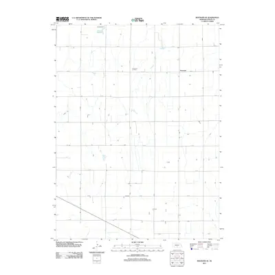 2011 Bertrand SE2011 Print · USGSCovers Bertrand, including Westmark, Phelps County, and other nearby areas
 - 2014 Map of Bertrand, 2014 Print
 2014 Bertrand2014 Print · USGSCovers Bertrand, including Smithfield, Phelps County, and other nearby areas
 - 2014 Map of Bertrand SE, 2014 Print
 2014 Bertrand SE2014 Print · USGSCovers Bertrand, including Westmark, Phelps County, and other nearby areas
 - 2017 Map of Bertrand SE, 2017 Print
 2017 Bertrand SE2017 Print · USGSCovers Bertrand, including Westmark, Phelps County, and other nearby areas
 - 2017 Map of Bertrand, 2017 Print
 2017 Bertrand2017 Print · USGSCovers Bertrand, including Smithfield, Phelps County, and other nearby areas
 - 2021 Map of Bertrand, 2021 Print
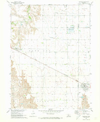
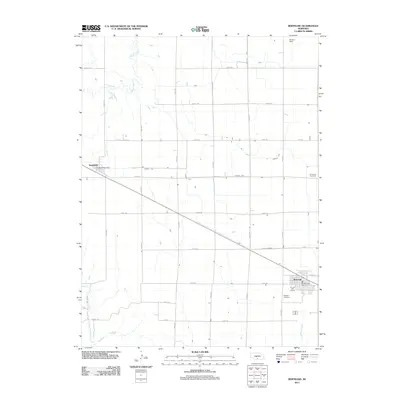
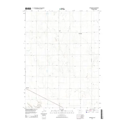
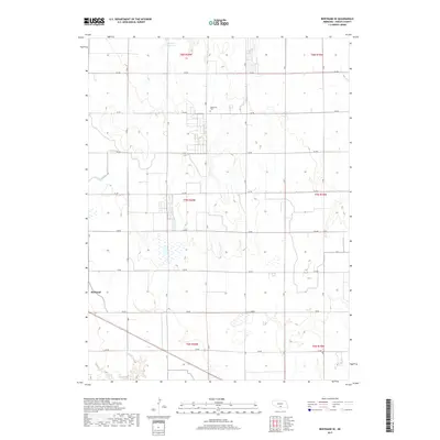
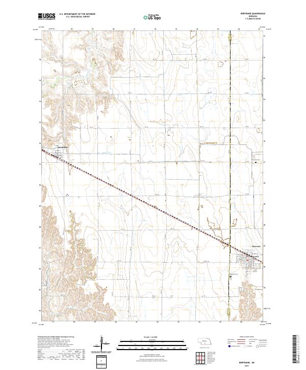 2021 Bertrand2021 Print · USGSThe Nebraska plains near the Gosper and Phelps county line are captured here in a period of modern agricultural stability. Genealogists and researchers can trace local landmarks from Bertrand and Smithfield to the Highland Cemetery and Immanuel Cemetery.
 - 2021 Map of Bertrand SE, 2021 Print
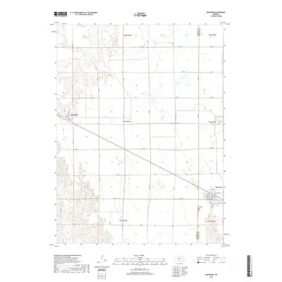
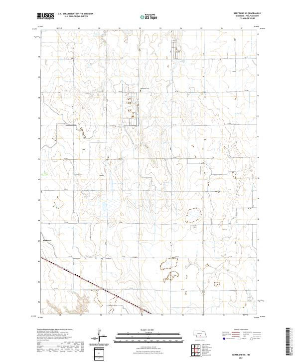 2021 Bertrand SE2021 Print · USGSPhelps County agricultural life is captured here in the early twenty-first century as the village of Bertrand continues its long history on the plains. Genealogists and local researchers can locate Sandstrom Cem and the southern reaches of Johnson Reservoir.
End of results
Showing maps 1-16 of 16
Top cities near Bertrand
- Lexington historical maps
- Elwood historical maps
- Overton historical maps
- Loomis historical maps
- Westmark historical maps
- Atlanta historical maps
See more
Frequently asked questions
- What are the different types of historical maps available for Bertrand?
- What is the oldest map of Bertrand?
- Where can I purchase historical maps of Bertrand for my home or office?
- Where can I download high-res historical maps of Bertrand?
- Are there historical topographic maps available for Bertrand?
- Is there historical aerial imagery available for Bertrand?
- Where are historical maps of Bertrand sourced from?