Old Maps of Pierce County, Nebraska for Academic Research
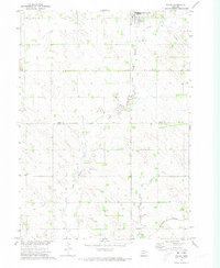
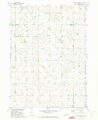
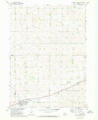
Study the evolution of Pierce County with 44 high-resolution historic maps. Whether you're teaching, researching, or modeling changes in land use, these maps provide essential visual documentation of urban, environmental, and geographic change.
- Analyze long-term change: Track patterns in development, transportation, and natural features.
- Ideal for environmental or urban studies: Support academic projects with primary historical map data.
- Use in the classroom or lab: Educators and researchers rely on these maps to bring historical context to life.
These maps are a powerful tool for teaching, research, and visualizing how Pierce County has changed over the decades.
Pierce County, NE maps
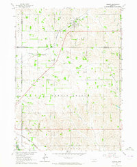
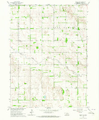
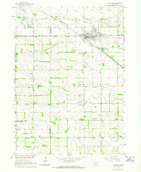
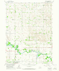
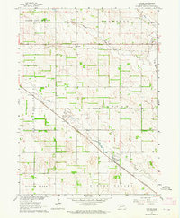
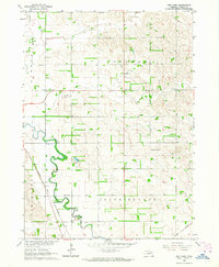
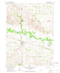
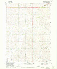
(44)- 1955 Map of Sioux City, 1959 Print
 1955 Sioux City1959 Print · USGSCovers Pierce County, including Sioux City, Norfolk, and other nearby areas4 unique versions available
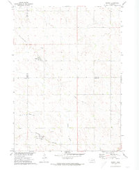
 - 1958 Map of Sioux City
 1958 Sioux City1958 Print · USGSCovers Pierce County, including Sioux City, Norfolk, and other nearby areas
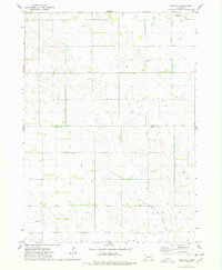
 - 1959 Map of Sioux City
 1959 Sioux City1959 Print · USGSCovers Pierce County, including Sioux City, Norfolk, and other nearby areas
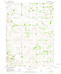
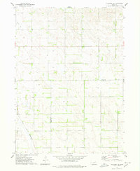
 - 1963 Map of Hoskins, 1964 Print
 1963 Hoskins1964 Print · USGSCovers Pierce County, including Woodland Park, Hoskins, and other nearby areas2 unique versions available
 - 1963 Map of Pierce NW, 1964 Print
 1963 Pierce NW1964 Print · USGSCovers Pierce County, including United States, Nebraska, and other nearby areas
 - 1963 Map of Plainview, 1964 Print
 1963 Plainview1964 Print · USGSCovers Pierce County, including Plainview, East End Tailer Court, and other nearby areas
 - 1963 Map of Pierce SE, 1964 Print
 1963 Pierce SE1964 Print · USGSCovers Pierce County, including Battle Creek, Madison County, and other nearby areas2 unique versions available
 - 1963 Map of Foster, 1964 Print
 1963 Foster1964 Print · USGSCovers Pierce County, including Foster, Breslau, and other nearby areas
 - 1963 Map of Meadow Grove, 1964 Print
 1963 Meadow Grove1964 Print · USGSCovers Pierce County, including Meadow Grove, Madison County, and other nearby areas
 - 1963 Map of Norfolk, 1964 Print
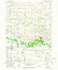
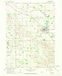
 1963 Norfolk1964 Print · USGSCovers Pierce County, including Norfolk, Hadar, and other nearby areas2 unique versions available
 - 1963 Map of Osmond, 1964 Print
 1963 Osmond1964 Print · USGSCovers Pierce County, including Osmond, United States, and other nearby areas2 unique versions available
 - 1963 Map of Wee Town, 1964 Print
 1963 Wee Town1964 Print · USGSCovers Pierce County, including Wee Town, United States, and other nearby areas2 unique versions available
 - 1963 Map of Tilden NE, 1964 Print
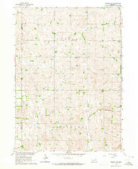
 1963 Tilden NE1964 Print · USGSCovers Pierce County, including Antelope County, United States, and other nearby areas
 - 1963 Map of Pierce, 1964 Print
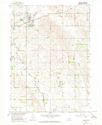
 1963 Pierce1964 Print · USGSCovers Pierce County, including Pierce, United States, and other nearby areas2 unique versions available
 - 1963 Map of Norfolk NE, 1964 Print
 1963 Norfolk NE1964 Print · USGSCovers Pierce County, including Wayne County, United States, and other nearby areas2 unique versions available
 - 1963 Map of Tilden, 1964 Print
 1963 Tilden1964 Print · USGSCovers Pierce County, including Tilden, Madison County, and other nearby areas
 - 1971 Map of Wausa, 1973 Print
 1971 Wausa1973 Print · USGSCovers Pierce County, including Wausa, Knox County, and other nearby areas
 - 1971 Map of Randolph South, 1973 Print
 1971 Randolph South1973 Print · USGSCovers Pierce County, including Randolph, Sholes, and other nearby areas
 - 1971 Map of Randolph North, 1973 Print
 1971 Randolph North1973 Print · USGSCovers Pierce County, including Randolph, Precinct 17, and other nearby areas
 - 1971 Map of Randolph SW, 1973 Print
 1971 Randolph SW1973 Print · USGSCovers Pierce County, including United States, Nebraska, and other nearby areas2 unique versions available
 - 1971 Map of Magnet, 1973 Print
 1971 Magnet1973 Print · USGSCovers Pierce County, including Magnet, McLean, and other nearby areas
 - 1974 Map of Midland, 1978 Print
 1974 Midland1978 Print · USGSCovers Pierce County, including Midland, Knox County, and other nearby areas
 - 1974 Map of Plainview NE, 1978 Print
 1974 Plainview NE1978 Print · USGSCovers Pierce County, including Knox County, Antelope County, and other nearby areas
 - 1985 Map of Norfolk, 1986 Print
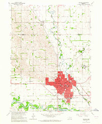
 1985 Norfolk1986 Print · USGSCovers Pierce County, including Norfolk, Wayne, and other nearby areas2 unique versions available
 - 2021 Map of Hoskins, 2021 Print
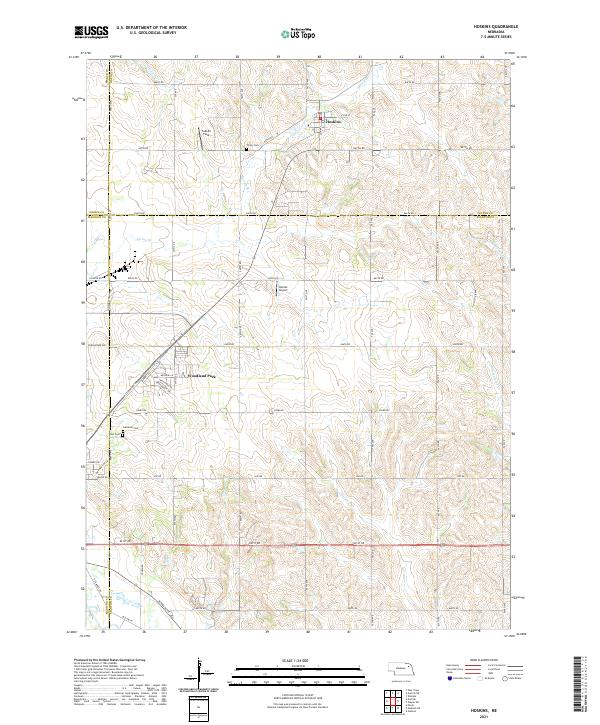 2021 Hoskins2021 Print · USGSCovers Pierce County, including Woodland Park, Hoskins, and other nearby areas
Showing maps 1-25 of 44
Top cities of Pierce County
- Pierce historical maps
- Plainview historical maps
- Osmond historical maps
- Hadar historical maps
- Foster historical maps
- McLean historical maps
See more
Frequently asked questions
- What are the different types of historical maps available for Pierce County?
- What is the oldest map of Pierce County?
- Where can I purchase historical maps of Pierce County for my home or office?
- Where can I download high-res historical maps of Pierce County?
- Are there historical topographic maps available for Pierce County?
- Is there historical aerial imagery available for Pierce County?
- Where are historical maps of Pierce County sourced from?