Old Maps of Pierce County, Nebraska for Metal Detecting
Plan your next treasure hunt with 44 historic maps of Pierce County. Find old homesites, ghost towns, trails, and gathering spots that may be lost to time — perfect for identifying promising metal detecting locations.
- Locate forgotten sites: Uncover places like long-lost settlements, abandoned rail lines, or gathering spots.
- Plan better hunts: Use map overlays combined with LiDAR or satellite views to narrow in on historically rich areas.
- Made for detectorists: Thousands of hobbyists use these maps to discover relics, coins, and hidden history.
Use these historic maps to boost your research and find new opportunities beneath the surface of Pierce County.
Pierce County, NE maps
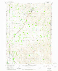
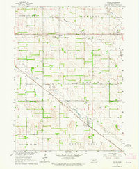
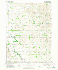
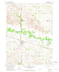
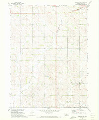
(44)- 1955 Map of Sioux City, 1959 Print
 1955 Sioux City1959 Print · USGSCovers Pierce County, including Sioux City, Norfolk, and other nearby areas4 unique versions available
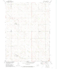
 - 1958 Map of Sioux City
 1958 Sioux City1958 Print · USGSCovers Pierce County, including Sioux City, Norfolk, and other nearby areas
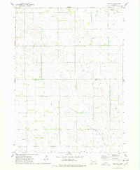
 - 1959 Map of Sioux City
 1959 Sioux City1959 Print · USGSCovers Pierce County, including Sioux City, Norfolk, and other nearby areas
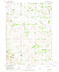
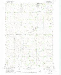
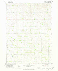
 - 1963 Map of Hoskins, 1964 Print
 1963 Hoskins1964 Print · USGSCovers Pierce County, including Woodland Park, Hoskins, and other nearby areas2 unique versions available
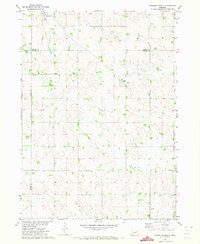
 - 1963 Map of Pierce NW, 1964 Print
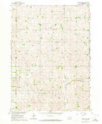
 1963 Pierce NW1964 Print · USGSCovers Pierce County, including United States, Nebraska, and other nearby areas
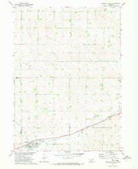
 - 1963 Map of Plainview, 1964 Print
 1963 Plainview1964 Print · USGSCovers Pierce County, including Plainview, East End Tailer Court, and other nearby areas
 - 1963 Map of Pierce SE, 1964 Print
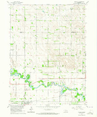 1963 Pierce SE1964 Print · USGSCovers Pierce County, including Battle Creek, Madison County, and other nearby areas2 unique versions available
 - 1963 Map of Foster, 1964 Print
 1963 Foster1964 Print · USGSCovers Pierce County, including Foster, Breslau, and other nearby areas
 - 1963 Map of Meadow Grove, 1964 Print
 1963 Meadow Grove1964 Print · USGSCovers Pierce County, including Meadow Grove, Madison County, and other nearby areas
 - 1963 Map of Norfolk, 1964 Print
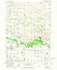
 1963 Norfolk1964 Print · USGSCovers Pierce County, including Norfolk, Hadar, and other nearby areas2 unique versions available
 - 1963 Map of Osmond, 1964 Print
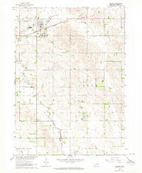 1963 Osmond1964 Print · USGSCovers Pierce County, including Osmond, United States, and other nearby areas2 unique versions available
 - 1963 Map of Wee Town, 1964 Print
 1963 Wee Town1964 Print · USGSCovers Pierce County, including Wee Town, United States, and other nearby areas2 unique versions available
 - 1963 Map of Tilden NE, 1964 Print
 1963 Tilden NE1964 Print · USGSCovers Pierce County, including Antelope County, United States, and other nearby areas
 - 1963 Map of Pierce, 1964 Print
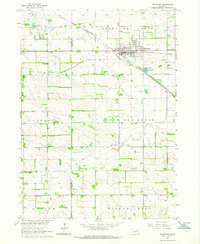
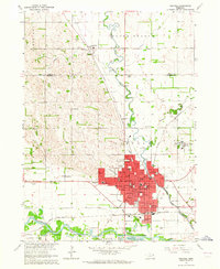
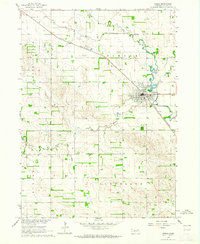 1963 Pierce1964 Print · USGSCovers Pierce County, including Pierce, United States, and other nearby areas2 unique versions available
 - 1963 Map of Norfolk NE, 1964 Print
 1963 Norfolk NE1964 Print · USGSCovers Pierce County, including Wayne County, United States, and other nearby areas2 unique versions available
 - 1963 Map of Tilden, 1964 Print
 1963 Tilden1964 Print · USGSCovers Pierce County, including Tilden, Madison County, and other nearby areas
 - 1971 Map of Wausa, 1973 Print
 1971 Wausa1973 Print · USGSCovers Pierce County, including Wausa, Knox County, and other nearby areas
 - 1971 Map of Randolph South, 1973 Print
 1971 Randolph South1973 Print · USGSCovers Pierce County, including Randolph, Sholes, and other nearby areas
 - 1971 Map of Randolph North, 1973 Print
 1971 Randolph North1973 Print · USGSCovers Pierce County, including Randolph, Precinct 17, and other nearby areas
 - 1971 Map of Randolph SW, 1973 Print
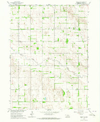
 1971 Randolph SW1973 Print · USGSCovers Pierce County, including United States, Nebraska, and other nearby areas2 unique versions available
 - 1971 Map of Magnet, 1973 Print
 1971 Magnet1973 Print · USGSCovers Pierce County, including Magnet, McLean, and other nearby areas
 - 1974 Map of Midland, 1978 Print
 1974 Midland1978 Print · USGSCovers Pierce County, including Midland, Knox County, and other nearby areas
 - 1974 Map of Plainview NE, 1978 Print
 1974 Plainview NE1978 Print · USGSCovers Pierce County, including Knox County, Antelope County, and other nearby areas
 - 1985 Map of Norfolk, 1986 Print
 1985 Norfolk1986 Print · USGSCovers Pierce County, including Norfolk, Wayne, and other nearby areas2 unique versions available
 - 2021 Map of Hoskins, 2021 Print
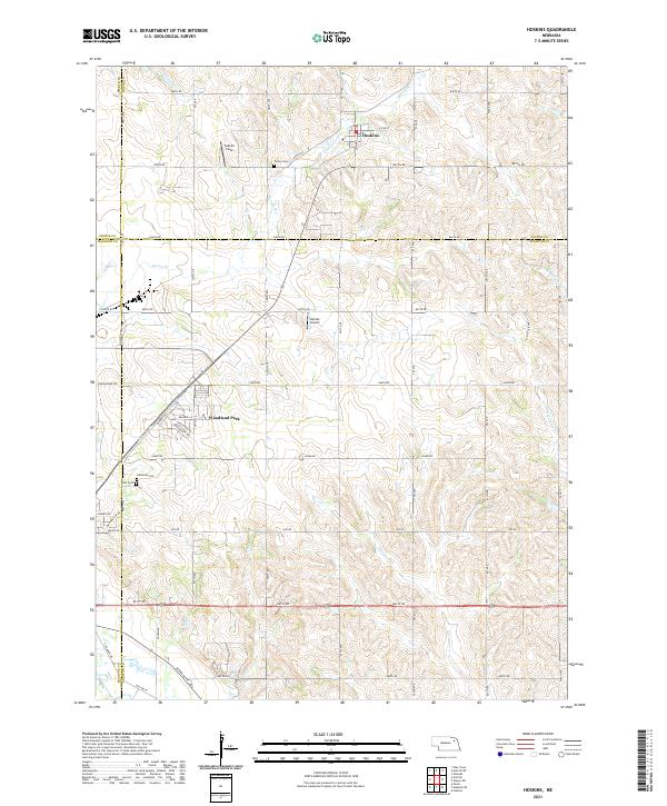 2021 Hoskins2021 Print · USGSCovers Pierce County, including Woodland Park, Hoskins, and other nearby areas
Showing maps 1-25 of 44
Top cities of Pierce County
- Pierce historical maps
- Plainview historical maps
- Osmond historical maps
- Hadar historical maps
- Foster historical maps
- McLean historical maps
See more
Frequently asked questions
- What are the different types of historical maps available for Pierce County?
- What is the oldest map of Pierce County?
- Where can I purchase historical maps of Pierce County for my home or office?
- Where can I download high-res historical maps of Pierce County?
- Are there historical topographic maps available for Pierce County?
- Is there historical aerial imagery available for Pierce County?
- Where are historical maps of Pierce County sourced from?