Old Maps of Bartley, Nebraska for Hiking & Exploration
Hike through history with 15 historic maps of Bartley. Explore old trails, ghost towns, and forgotten backroads — perfect for outdoor adventurers and local explorers.
- Rediscover forgotten places: Map out old mining camps, roads, and footpaths that no longer exist on modern maps.
- Layer with modern tools: Combine with LiDAR or satellite views to plan hikes through historical terrain.
- Made for exploration: Popular among hikers, overlanders, and local history lovers.
Use these maps to find adventure and explore the hidden past of Bartley.
Bartley, NE maps
(15)- 1954 Map of McCook, 1966 Print
 1954 McCook1966 Print · USGSSouthwest Nebraska in the mid-fifties reveals a landscape shaped by major water projects and the Chicago Burlington and Quincy RR. Trace ancestral roots and defunct rail stops in McCook, Wauneta, and along the shores of Swanson Lake.2 unique versions available
 - 1956 Map of Bartley, 1958 Print
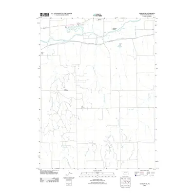
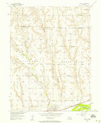 1956 Bartley1958 Print · USGSThe Republican River valley of southwest Nebraska is captured here during the mid-fifties, centered on the rail-side community of Bartley. Researchers can trace the era's changing rural landscape through several closed country schools and sites like Mt Zion Ch and Dry Creek Cem.3 unique versions available
 - 1957 Map of McCook
 1957 McCook1957 Print · USGSSouthwestern Nebraska in the mid-fifties is captured here during a period of significant water development and rail-based commerce. Researchers can trace the path of the Chicago Burlington and Quincy through Indianola and Bartley, or locate rural settlements like Chase Village and Ough near the Sand Hills.
 - 1957 Map of Danbury NE, 1983 Print
 1957 Danbury NE1983 Print · USGSSouthwest Nebraska near Bartley is shown in the mid-fifties, capturing the vital intersection of the Burlington Northern and the Republican River. Genealogists and historians can trace several former rural schools, including the Valley Center Sch and School Creek Sch.
 - 1958 Map of McCook
 1958 McCook1958 Print · USGSSouthwest Nebraska during the late fifties reveals a landscape of massive new reservoirs and established rail hubs like McCook. Genealogists can trace family footprints through rural centers like St Johns Church and the many grain elevators along the Union Pacific RR.2 unique versions available
 - 1958 Map of Danbury NE
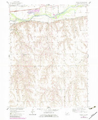
 1958 Danbury NE1958 Print · USGSRed Willow County farm country is shown here in the late fifties as irrigation and rail lines transformed the river valley. Genealogists and local historians can locate Trinity Cem and several former school sites like School No 60.
 - 1979 Map of McCook
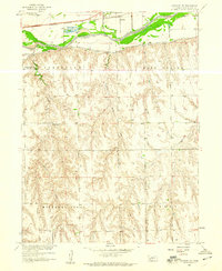
 1979 McCook1979 Print · USGSThe Republican River valley of southwest Nebraska is seen here in the late seventies, a region of rail-connected river towns and extensive irrigation. Genealogists and local historians can trace family ties through McCook, the Burlington Northern line, and water landmarks like Medicine Creek.
 - 2011 Map of Danbury NE, 2011 Print
 2011 Danbury NE2011 Print · USGSCovers Bartley, including Red Willow County, United States, and other nearby areas
 - 2011 Map of Bartley, 2011 Print
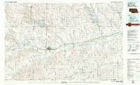
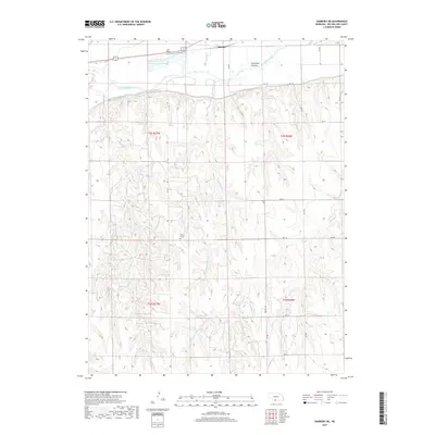
 2011 Bartley2011 Print · USGSCovers Bartley, including Red Willow County, Frontier County, and other nearby areas
 - 2014 Map of Danbury NE, 2014 Print
 2014 Danbury NE2014 Print · USGSCovers Bartley, including Red Willow County, United States, and other nearby areas
 - 2014 Map of Bartley, 2014 Print
 2014 Bartley2014 Print · USGSCovers Bartley, including Red Willow County, Frontier County, and other nearby areas
 - 2017 Map of Danbury NE, 2017 Print
 2017 Danbury NE2017 Print · USGSCovers Bartley, including Red Willow County, United States, and other nearby areas
 - 2017 Map of Bartley, 2017 Print
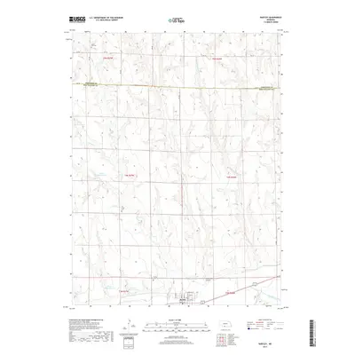 2017 Bartley2017 Print · USGSCovers Bartley, including Red Willow County, Frontier County, and other nearby areas
 - 2021 Map of Bartley, 2021 Print
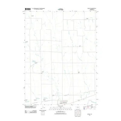
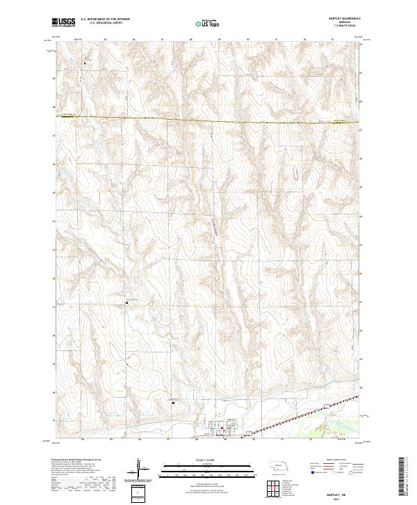 2021 Bartley2021 Print · USGSRed Willow and Frontier Counties are captured here as a landscape of structured irrigation and prairie homesteads. Researchers can locate family heritage sites at Mount Zion Cem or Dry Creek Cem and trace the path of the Red Willow Canal.
 - 2021 Map of Danbury NE, 2021 Print
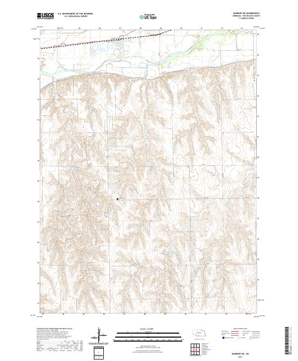 2021 Danbury NE2021 Print · USGSThe Republican River valley south of Bartley is captured in this recent survey of Nebraska's farming heartland. Genealogists and local historians can locate Trinity Cem and trace water routes like the Bartley Canal and Sleepy Hollow Cr.
End of results
Showing maps 1-15 of 15
Top cities near Bartley
- Cambridge historical maps
- Indianola historical maps
- Danbury historical maps
- Wilsonville historical maps
- Lebanon historical maps
Frequently asked questions
- What are the different types of historical maps available for Bartley?
- What is the oldest map of Bartley?
- Where can I purchase historical maps of Bartley for my home or office?
- Where can I download high-res historical maps of Bartley?
- Are there historical topographic maps available for Bartley?
- Is there historical aerial imagery available for Bartley?
- Where are historical maps of Bartley sourced from?