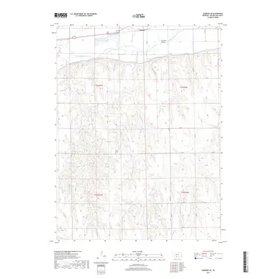
2017 Map of Danbury NE
USGS Topo · Published 2017About this map
The Republican River serves as the primary geographic corridor through this section of Red Willow County, with the settlement of Bartley situated along its northern banks. The landscape is defined by the sophisticated water management systems typical of Nebraska's agricultural history, including the Bartley Canal and the Smith Reservoir. Away from the river, the terrain rises into several distinct drainages such as Sleepy Hollow, School Cr, and Silver Cr. This 2017 survey details the rural infrastructure of the region, from aviation landmarks like Lee Field to local burial sites like Trinity Cem. The intricate network of section roads, such as Bartley Rd and RD 718, provides a clear view of the grid-based land organization in the Republican River valley.
Find a feature on this map
31 named features on this map. Tap any name to fly to it.
Don’t see what you’re looking for? This feature index may not catch every label — zoom into the map to look around manually.
Map Details
Editions of this 2017 Danbury NE Map
This is the sole edition of this map. No revisions or reprints were ever made.
Other maps of this area

1954 · McCook
USGS Topo · 1:250,000

1956 · Cambridge
USGS Topo · 1:24,000

1956 · Bartley
USGS Topo · 1:24,000

1957 · McCook
USGS Topo · 1:250,000

1957 · Shippee
USGS Topo · 1:24,000

1957 · Danbury
USGS Topo · 1:24,000

1957 · Lebanon
USGS Topo · 1:24,000

1957 · Danbury NE
USGS Topo · 1:24,000

1958 · McCook
USGS Topo · 1:250,000

1958 · Danbury NE
USGS Topo · 1:24,000