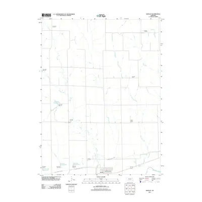
2011 Map of Bartley
USGS Topo · Published 2011About this map
The village of Bartley serves as the focal point for this rural landscape in Red Willow County, positioned along the northern bank of the Republican River. The settlement pattern reflects a deeply established agricultural community, anchored by the Bartley Post Office and a network of country schools that once served the outlying sections. Traces of local education history are scattered across the township, including Pleasant Hill School in the north and Walnut Grove School to the east.
Find a feature on this map
24 named features on this map. Tap any name to fly to it.
Don’t see what you’re looking for? This feature index may not catch every label — zoom into the map to look around manually.
Map Details
Editions of this 2011 Bartley Map
This is the sole edition of this map. No revisions or reprints were ever made.
Other maps of this area

1954 · McCook
USGS Topo · 1:250,000

1956 · Freedom
USGS Topo · 1:24,000

1956 · Cambridge
USGS Topo · 1:24,000

1956 · Medicine Creek Dam
USGS Topo · 1:24,000

1956 · Bartley NW
USGS Topo · 1:24,000

1956 · Bartley
USGS Topo · 1:24,000

1957 · McCook
USGS Topo · 1:250,000

1957 · Danbury NE
USGS Topo · 1:24,000

1958 · McCook
USGS Topo · 1:250,000

1958 · Danbury NE
USGS Topo · 1:24,000