2020s Maps of Scotts Bluff County, Nebraska
Explore 28 historic maps of Scotts Bluff County from the 2020s. These maps offer a rare glimpse into what life looked like during the 2020s — showing old roads, neighborhoods, homes, and landmarks that have changed or disappeared over time.
Whether you're researching your family's past, planning a metal detecting trip, or studying how Scotts Bluff County's landscape evolved across the 2020s, these high-resolution maps are a powerful tool for exploring the history of this region.
- Focus on a specific era: All maps on this page are from the 2020s, giving you a focused view of this time period.
- See what’s changed: Compare century-old streets, trails, and buildings to today's modern landscape using overlays and satellite layers.
- Research with precision: Use these maps for genealogy, historical research, land use analysis, or educational projects.
- View, download, or print: Maps are fully viewable online in high resolution, and can be downloaded or printed for your own records.
Start exploring Scotts Bluff County's history through authentic maps from the 2020s. This is your window into the past.
Scotts Bluff County, NE maps
(28)- 2021 Map of Murray Lake, 2021 Print
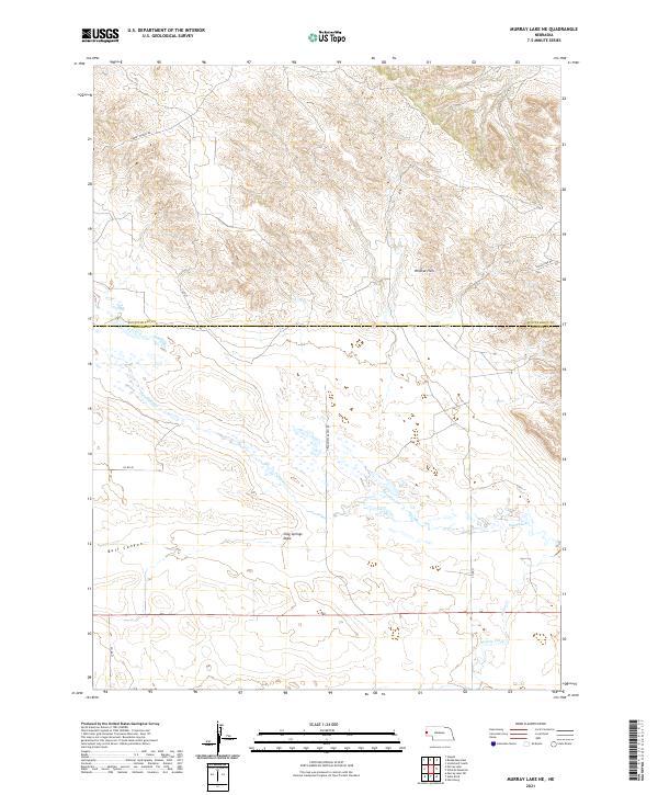
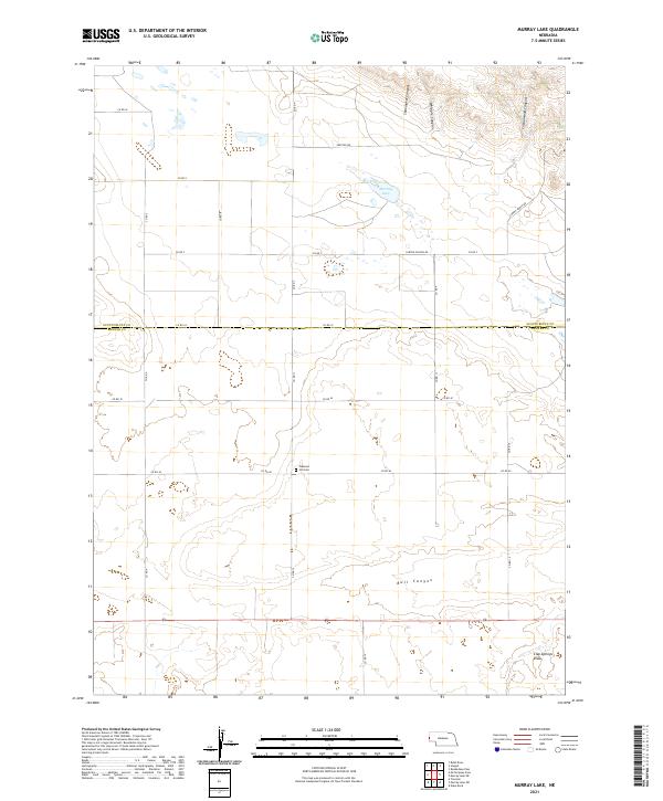 2021 Murray Lake2021 Print · USGSBanner County and the Scotts Bluff border are captured here in the early twenty-first century as a landscape of remote ranching and deep canyons. Researchers can locate Pleasant Hill Cem or trace the drainage of Bull Canyon and Shoemaker Canyon.
 - 2021 Map of Wright Gap, 2021 Print
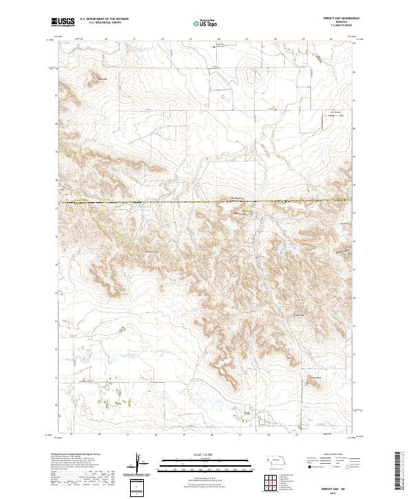 2021 Wright Gap2021 Print · USGSBanner County and Scotts Bluff County meet in this high-plains landscape where the buttes of the Nebraska Panhandle define the horizon. Researchers can locate the Creighton Valley Cem and trace the paths through Wright Gap and Bishop Canyon.
 - 2021 Map of Bayard NE, 2021 Print
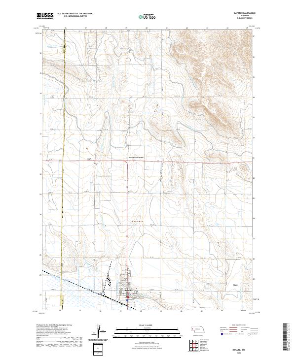
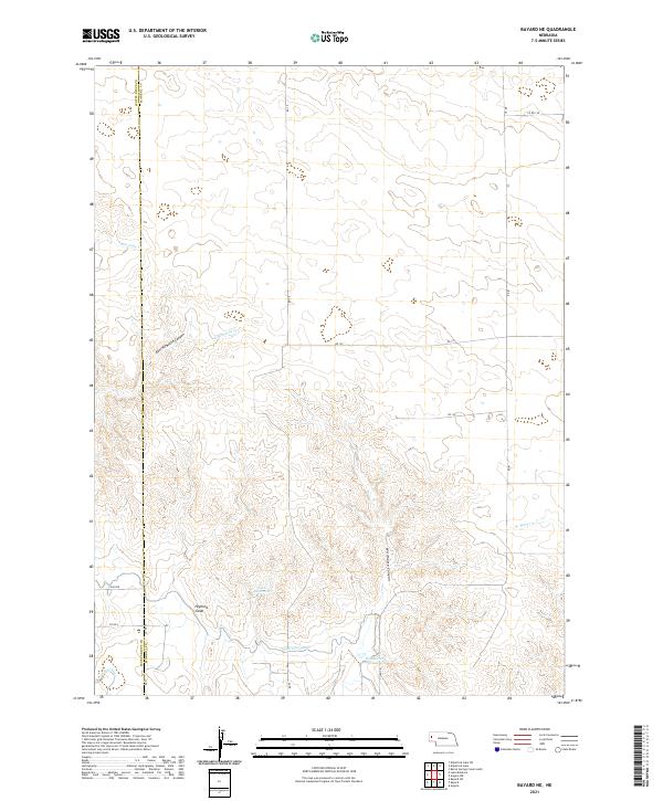 2021 Bayard NE2021 Print · USGSMorrill County's high plains are defined by early twenty-first-century irrigation networks and rugged canyons. Genealogists and local historians can trace the vital water routes of the Highline Canal and Lowline Canal or locate Funk Reservoir.
 - 2021 Map of Minatare, 2021 Print
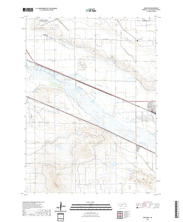 2021 Minatare2021 Print · USGSThe North Platte River valley in the early 2020s shows a sophisticated landscape of irrigation and high-plains agriculture. Trace the path of the Minatare Canal and Gering Canal through the settlements of Minatare and Melbeta.
 - 2021 Map of Wildcat Mountain, 2021 Print
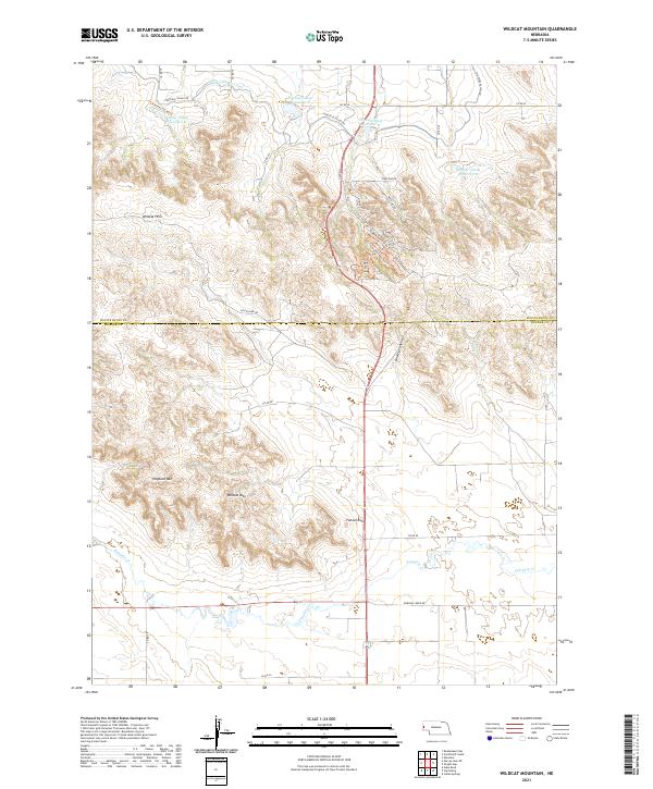 2021 Wildcat Mountain2021 Print · USGSThe high escarpments of the Nebraska Panhandle are captured here in the early twenty-first century, showing the rugged divide between the Scotts Bluff and Banner county lines. Trace historical land use and water engineering through features like the Fort Laramie Canal, Hogback Mountain, and the Gering Valley Reservoir system.
 - 2021 Map of Roubadeau Pass, 2021 Print
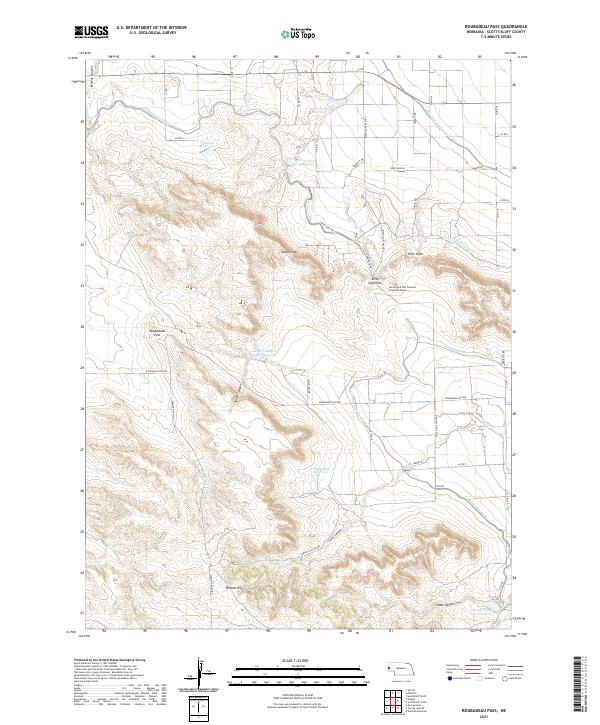 2021 Roubadeau Pass2021 Print · USGSThe Wildcat Hills of Scotts Bluff County are seen here in the 2020s, showing a land of dramatic ridges and deep canyons. Researchers can trace the path of the Fort Laramie Canal or locate landmarks like Roubadeau Pass and Rifle Sight.
 - 2021 Map of Bayard, 2021 Print
 2021 Bayard2021 Print · USGSThe Nebraska panhandle comes into sharp focus in this recent survey of the North Platte Valley irrigation network. Genealogists and local historians can trace the streets of Bayard and locate outlying points like Moomaw Corner, Craft, and the rugged Wildhorse Canyon.
 - 2021 Map of Bayard SW, 2021 Print
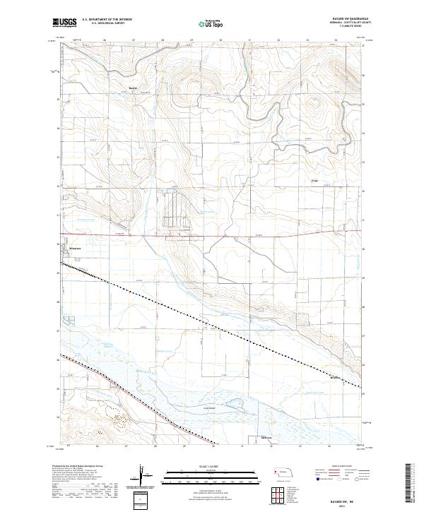 2021 Bayard SW2021 Print · USGSScotts Bluff County at the start of the 2020s shows a landscape transformed by over a century of irrigation and river management. Trace local family history and rural development near Minatare, McGrew, and the winding North Platte River or the Tri-State Canal.
 - 2021 Map of Stegall, 2021 Print
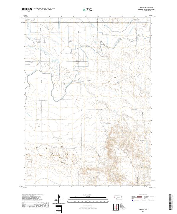 2021 Stegall2021 Print · USGSThe Wildcat Hills meet a complex network of twentieth-century irrigation canals in this western Nebraska landscape. Researchers can trace the path of the Fort Laramie Canal or locate local landmarks like Signal Butte, Bald Peak, and the settlement of Stegall.
 - 2021 Map of Mitchell, 2021 Print
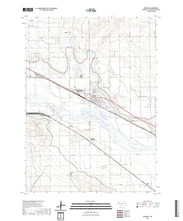 2021 Mitchell2021 Print · USGSWestern Nebraska's irrigation and river corridor come into focus during this modern era of Scotts Bluff County. Researchers can trace land tracts between the North Platte River and the Tri-State Canal, or locate family sites near Mitchell Cem and Haig.
 - 2021 Map of Lake Minatare, 2021 Print
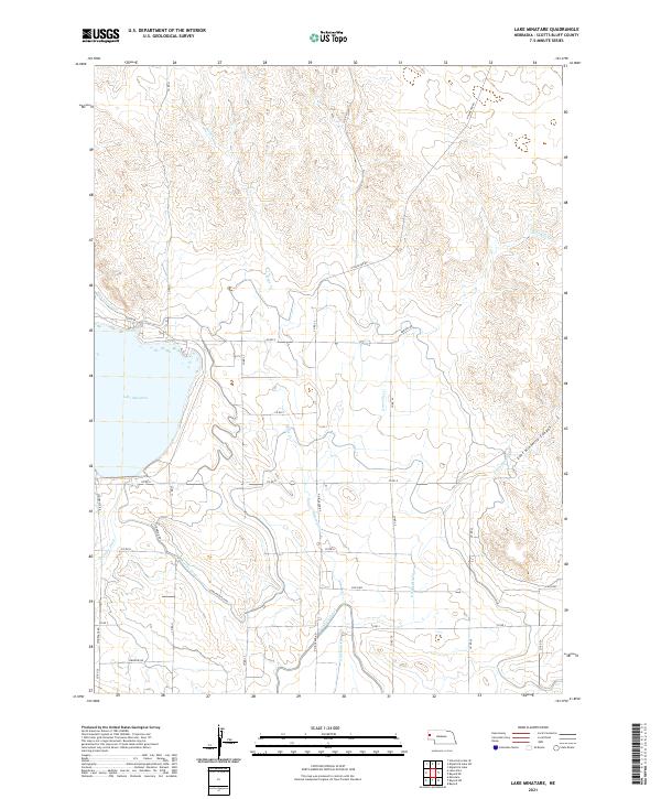 2021 Lake Minatare2021 Print · USGSWestern Nebraska's irrigation systems and highlands are captured here in the early twenty-first century. Researchers can trace the sophisticated water network of the Tri-State Canal and the High Line Canal alongside the shores of Lake Minatare.
 - 2021 Map of McGrew, 2021 Print
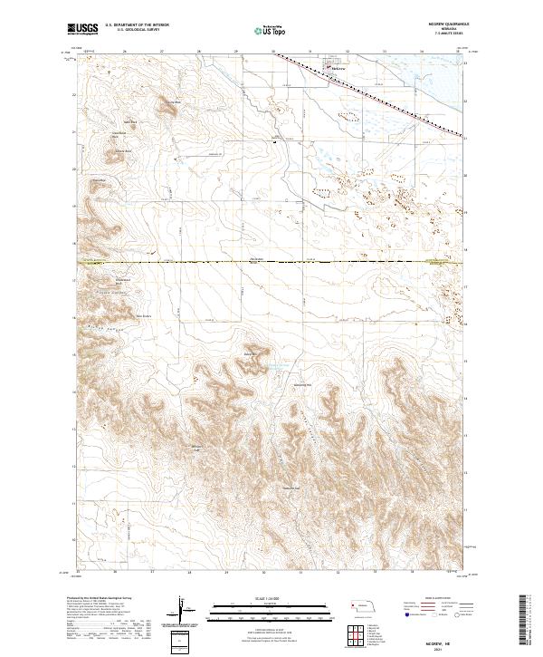 2021 McGrew2021 Print · USGSThe Nebraska panhandle comes into focus during this modern era, showing the intersection of river-fed agriculture and high-plains terrain. Researchers can trace the Castle Rock Canal through McGrew or locate the High Butte Cem near landmarks like Steamboat Rock.
 - 2021 Map of Lake Alice, 2021 Print
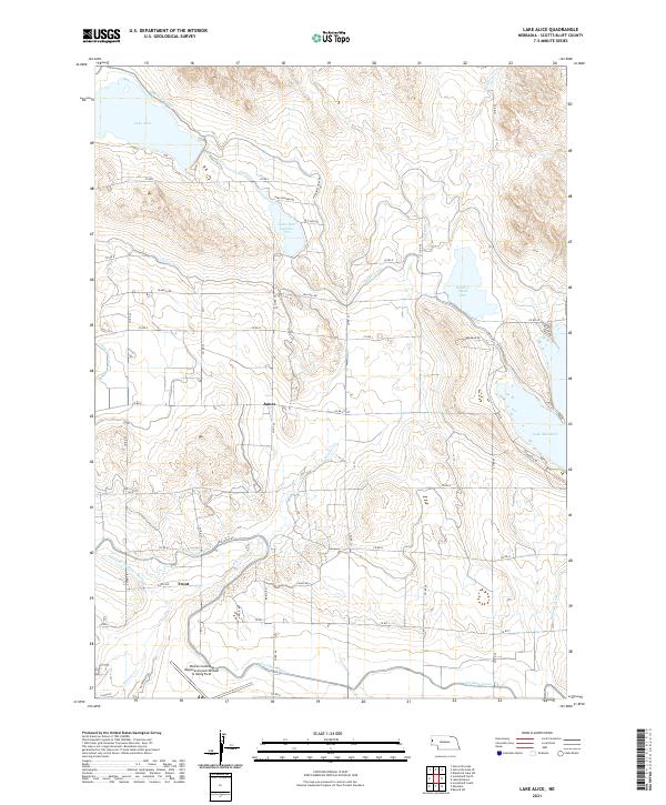 2021 Lake Alice2021 Print · USGSScotts Bluff County is defined by its vast irrigation network in the early twenty-first century. Researchers can trace the sophisticated water systems of the High Line and Tri-State Canal alongside local landmarks like James and the Western Nebraska Regional Airport.
 - 2021 Map of Dry Sheep Creek, 2021 Print
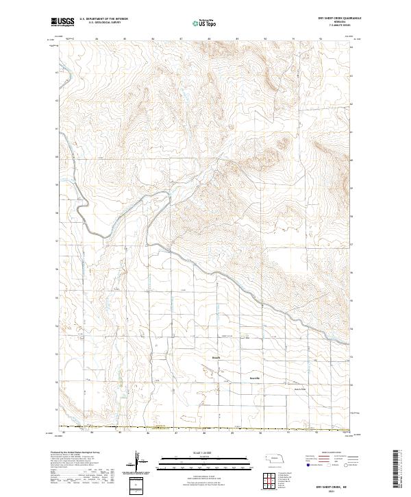 2021 Dry Sheep Creek2021 Print · USGSSioux County's panhandle landscape is defined by its vital water networks in the 2020s. Genealogists and local historians can trace rural settlements like Roach and Scoville alongside the massive engineering of the Interstate Canal and Dutch Flats.
 - 2021 Map of University Lake SE, 2021 Print
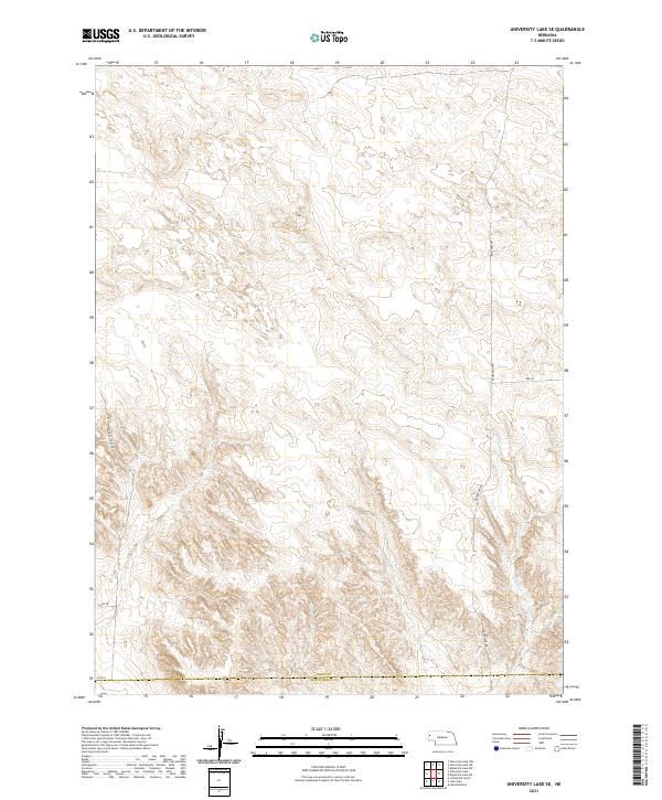 2021 University Lake SE2021 Print · USGSSioux County and the Scotts Bluff County line are captured here in the early twenty-first century, showing a landscape of precise land divisions and rural transit. Genealogists and historians can trace the paths of Sugar Factory Rd and Ore Rd near the banks of Winters Cr.
 - 2021 Map of Erdman Ranch, 2021 Print
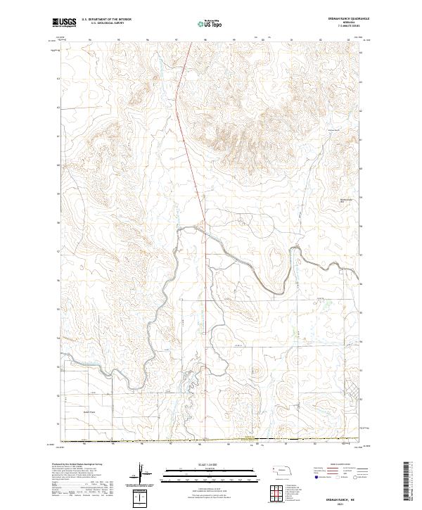 2021 Erdman Ranch2021 Print · USGSThe ranching and irrigation landscapes of Sioux County are captured here in the early twenty-first century. Researchers can trace the complex water systems of the Interstate Canal and find family-named locations such as Erdman Ranch and Dutch Flats.
 - 2021 Map of Murray Lake NE, 2021 Print
 2021 Murray Lake NE2021 Print · USGSThe ranchlands of the Nebraska Panhandle are captured here during the early twenty-first century, showing the transition from the Wildcat Hills to the valley floor. Genealogists and historians can trace property boundaries and ranch access roads like Summit Ranch Rd and Grandview Ranch Rd.
 - 2021 Map of South Bayard, 2021 Print
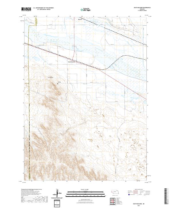 2021 South Bayard2021 Print · USGSThe North Platte River valley comes into sharp focus in the early 2020s, dominated by the famous spire of Chimney Rock. Trace the local irrigation history through the Alliance Canal or locate family roots near South Bayard and Chimney Rock Cem.
 - 2021 Map of Morrill, 2021 Print
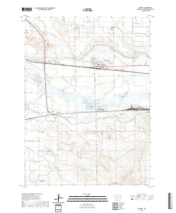 2021 Morrill2021 Print · USGSNear the Wyoming border in the early 2020s, this area showcases the intensive irrigation systems of the North Platte Valley. Genealogists can locate Forest Lawn Cemetery and Caldwell Cemetery or trace the early paths of the Tri-State Canal and Ramshorn Canal.
 - 2021 Map of University Lake, 2021 Print
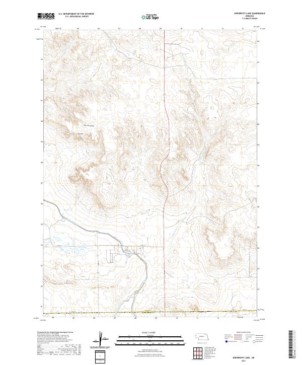 2021 University Lake2021 Print · USGSSioux County at the turn of the 21st century shows a landscape shaped by irrigation and western landforms. Genealogists and historians can trace local travel via CO RD A or locate landmarks like University Lake and The Horseshoe.
 - 2021 Map of Scottsbluff North, 2021 Print
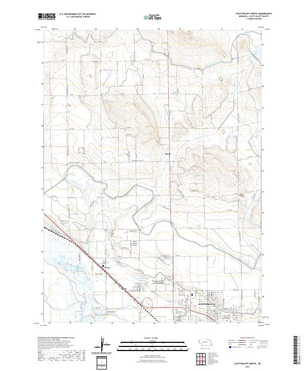 2021 Scottsbluff North2021 Print · USGSThe northern reaches of Scotts Bluff County are defined by their sophisticated irrigation systems and early twenty-first-century growth. Researchers can trace the legacy of local agriculture and education at Mintle, Fairview Cem, and the University of Nebraska Panhandle Research and Extension Center.
 - 2021 Map of Scottsbluff South, 2021 Print
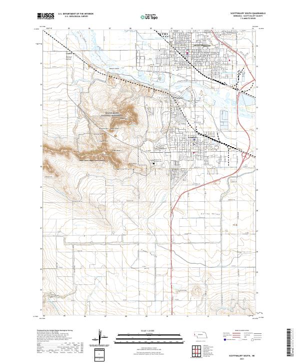 2021 Scottsbluff South2021 Print · USGSThe twin cities of Scottsbluff and Gering stand as the hub of the North Platte valley in the early twenty-first century. Researchers can trace irrigation networks like the Gering Canal and locate local landmarks such as the Scotts Bluff County Courthouse.
 - 2021 Map of Kilpatrick Lake SW, 2021 Print
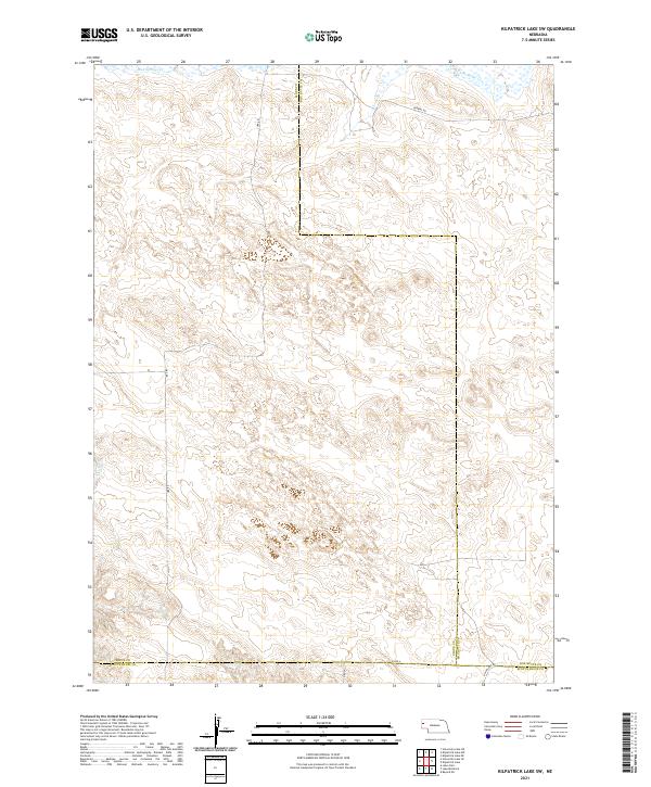 2021 Kilpatrick Lake SW2021 Print · USGSThe Nebraska panhandle's ranching country is captured here during the early twenty-first century as county lines converge on the high plains. Researchers can trace rural thoroughfares like Ore Rd and Perkins Rd as they navigate the drainages of Mud Springs Cr and Winters Cr.
 - 2021 Map of Lyman, 2021 Print
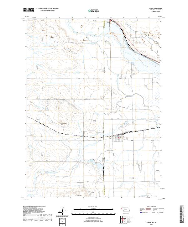 2021 Lyman2021 Print · USGSThe Nebraska-Wyoming border comes alive in this study of the High Plains irrigation economy at the dawn of the 2020s. Researchers can trace the complex water systems of Lyman and Henry, alongside landmarks like Rattlesnake Hill and Packer Lake.
 - 2021 Map of Kilpatrick Lake, 2021 Print
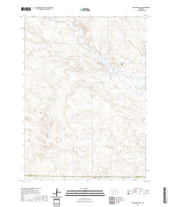 2021 Kilpatrick Lake2021 Print · USGSIn the high plains of western Nebraska, this contemporary survey captures the rural landscape of Box Butte County and its surrounding borders. Genealogists and researchers can trace local landmarks like the Snake Creek Cem and the waters of Kilpatrick Lake and Snake Cr.
Showing maps 1-25 of 28
Top cities of Scotts Bluff County
- Scottsbluff historical maps
- Gering historical maps
- Mitchell historical maps
- Terrytown historical maps
- Morrill historical maps
- Minatare historical maps
See more
Frequently asked questions
- What are the different types of historical maps available for Scotts Bluff County?
- What is the oldest map of Scotts Bluff County?
- Where can I purchase historical maps of Scotts Bluff County for my home or office?
- Where can I download high-res historical maps of Scotts Bluff County?
- Are there historical topographic maps available for Scotts Bluff County?
- Is there historical aerial imagery available for Scotts Bluff County?
- Where are historical maps of Scotts Bluff County sourced from?