2020s Maps of Wheeler County, Nebraska
Explore 20 historic maps of Wheeler County from the 2020s. These maps offer a rare glimpse into what life looked like during the 2020s — showing old roads, neighborhoods, homes, and landmarks that have changed or disappeared over time.
Whether you're researching your family's past, planning a metal detecting trip, or studying how Wheeler County's landscape evolved across the 2020s, these high-resolution maps are a powerful tool for exploring the history of this region.
- Focus on a specific era: All maps on this page are from the 2020s, giving you a focused view of this time period.
- See what’s changed: Compare century-old streets, trails, and buildings to today's modern landscape using overlays and satellite layers.
- Research with precision: Use these maps for genealogy, historical research, land use analysis, or educational projects.
- View, download, or print: Maps are fully viewable online in high resolution, and can be downloaded or printed for your own records.
Start exploring Wheeler County's history through authentic maps from the 2020s. This is your window into the past.
Wheeler County, NE maps
(20)- 2021 Map of Bartlett SE, 2021 Print
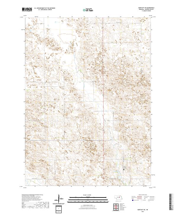 2021 Bartlett SE2021 Print · USGSWheeler County's sandhills terrain is captured here in the 2020s, showing a landscape defined by ranch roads and watercourses. Genealogists can locate Pibel Pleasant Hill Cem or trace family land near Clear Cr and Pibel Lake.
 - 2021 Map of Spalding, 2021 Print
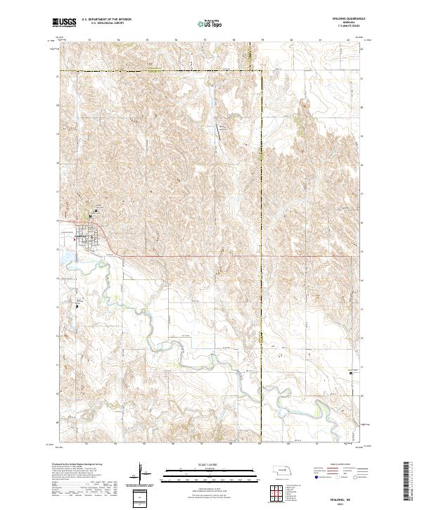 2021 Spalding2021 Print · USGSThe village of Spalding and the surrounding Nebraska plains are captured here in the early 2020s as the Cedar River winds through the landscape. Genealogists can locate several local burial sites including Grand View Cem and the remote Dublin Cem.
 - 2021 Map of Greeley NW, 2021 Print
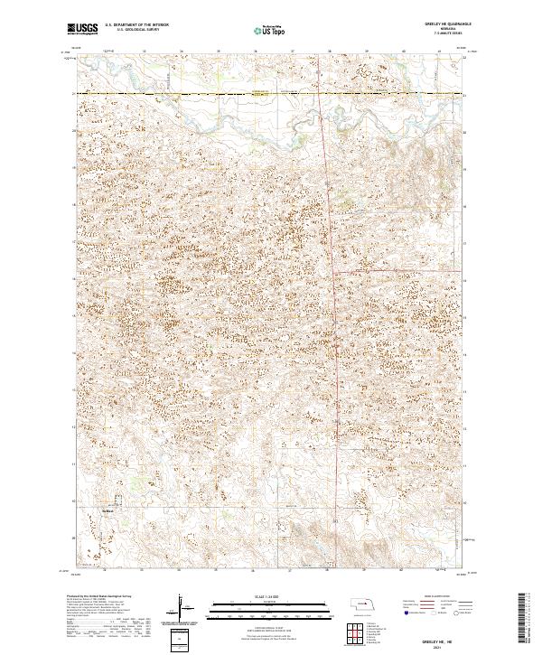
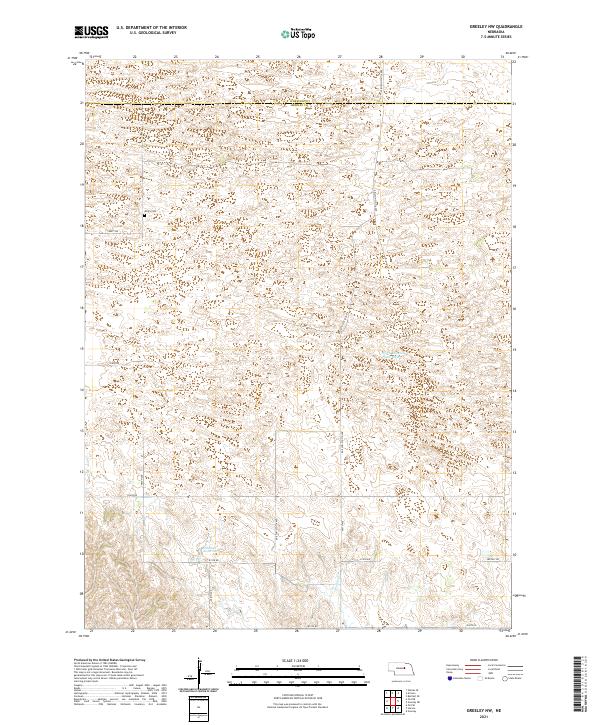 2021 Greeley NW2021 Print · USGSGreeley and Wheeler counties meet in this 2021 survey of the Nebraska sandhills borderlands. Family historians and local researchers can trace the rural landscape through the Amity Cem, the waters of Walker Reservoir, and Belfast Rd.
 - 2021 Map of Gables, 2021 Print
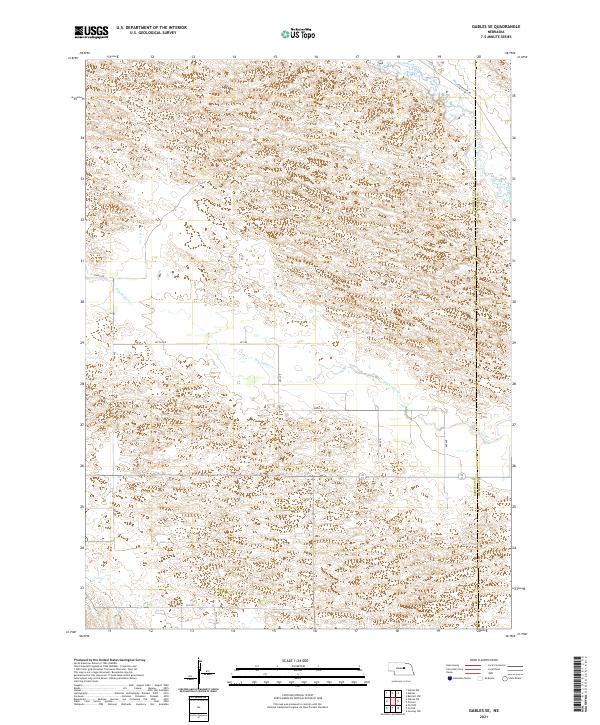
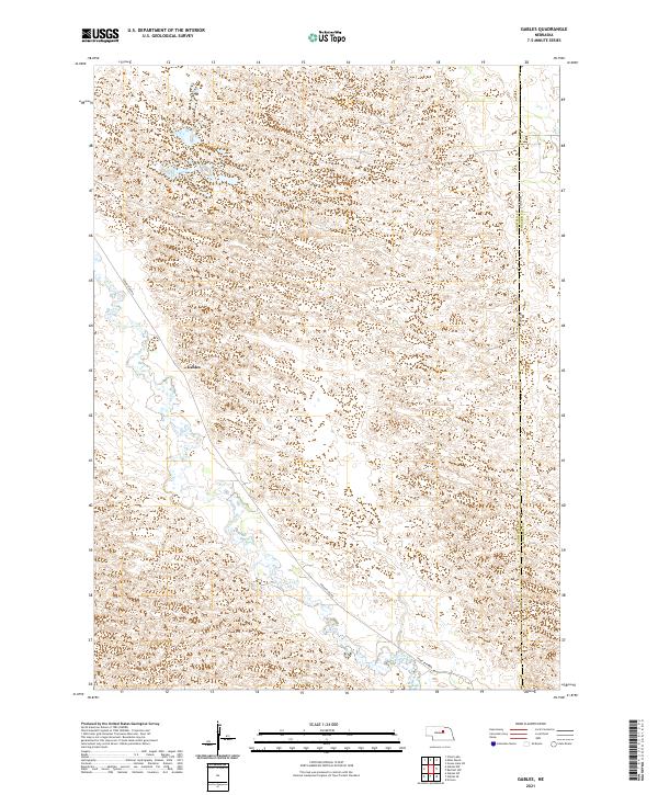 2021 Gables2021 Print · USGSGarfield County's rural prairie and wetland networks are documented in this recent survey. Local researchers can trace the course of Cedar Creek and identify the location of Gables along Cedar River Rd near the Wheeler County line.
 - 2021 Map of Mignery Ranch, 2021 Print
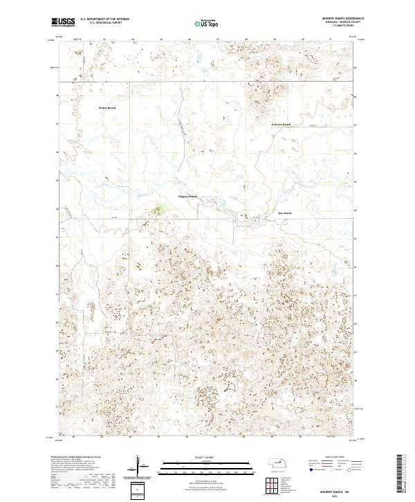 2021 Mignery Ranch2021 Print · USGSWheeler County ranchlands are documented here in the early twenty-first century, showing the established footprint of the Nebraska Sandhills. Genealogists and local historians can locate specific family properties like Stokes Ranch, Mignery Ranch, and Koinzan Ranch along the banks of Beaver Cr.
 - 2021 Map of School Number 20, 2021 Print
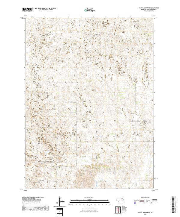 2021 School Number 202021 Print · USGSWheeler County's rural landscape is captured here in the early 2020s, showing the persistent grid of section roads and cattle country. Genealogists and local historians can locate School Number 20 and trace historical routes like Old State Hwy 101 and Pibel Lake Rd.
 - 2021 Map of Ericson, 2021 Print
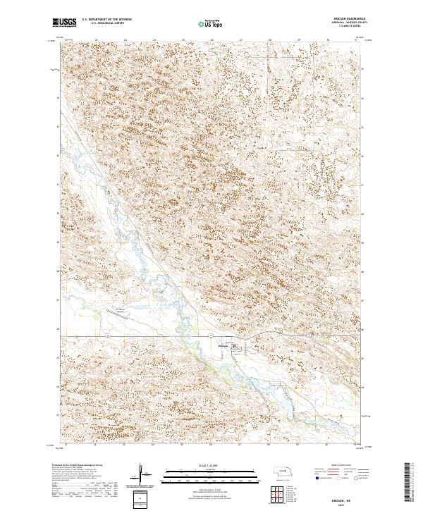 2021 Ericson2021 Print · USGSThe village of Ericson and the surrounding Nebraska sandhills are shown in detail during the early 2020s. Researchers can trace the path of the Cedar River past local landmarks like Psotas Lake and the X1 Ranch Airport.
 - 2021 Map of Gables SE, 2021 Print
 2021 Gables SE2021 Print · USGSGarfield and Wheeler counties in 2021 reveal the open sandhill ranching country of central Nebraska. Researchers can trace the path of Cedar Creek, follow the Garfield Co Wheeler Co line, and locate rural routes like Joint Loop.
 - 2021 Map of Park Church, 2021 Print
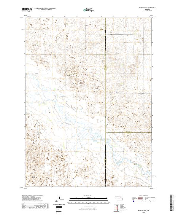 2021 Park Church2021 Print · USGSThe Nebraska prairie at the meeting of Wheeler, Antelope, and Boone Counties is captured in this modern survey. Researchers can trace the water systems of Beaver Creek and Jennings Reservoir or locate the community landmark of Park Church.
 - 2021 Map of Bartlett, 2021 Print
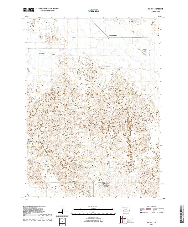 2021 Bartlett2021 Print · USGSWheeler County ranching country is documented here in the early twenty-first century, centered on the seat of local government. Researchers can trace the layout of Bartlett through its local streets and locate landmarks like the Wheeler County Courthouse and Bartlett Cem.
 - 2021 Map of Bartlett NW, 2021 Print
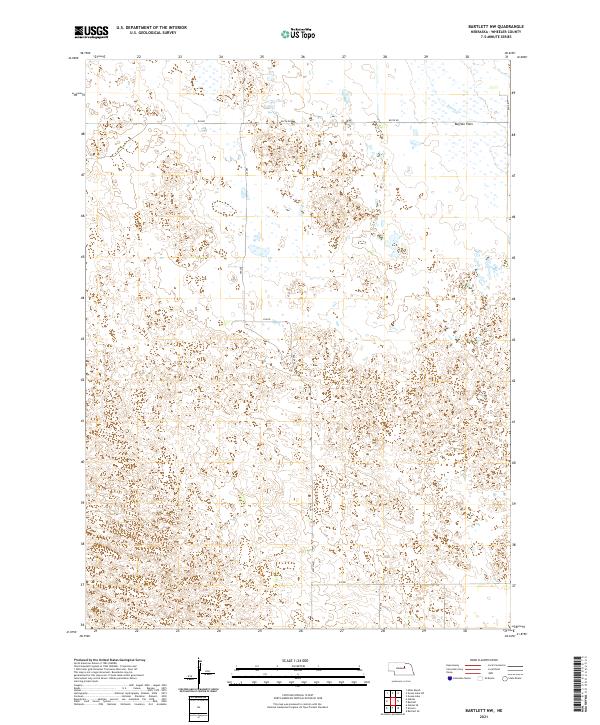 2021 Bartlett NW2021 Print · USGSWheeler County ranch land in the early 2020s is defined by its sweeping sand hills and isolation. Researchers can trace the drainage of Beaver Cr across Buffalo Flats and follow the section-line roads like 839 Rd and 490th Ave.
 - 2021 Map of Spalding NW, 2021 Print
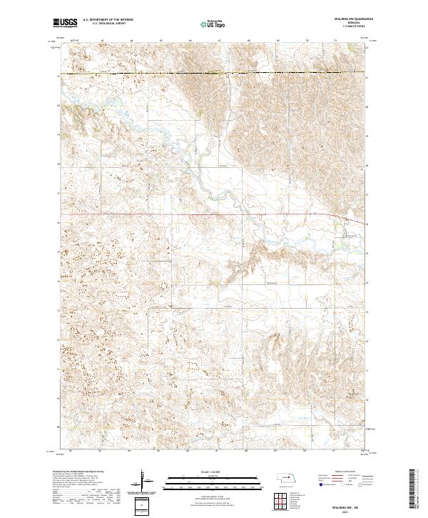 2021 Spalding NW2021 Print · USGSGreeley County and the surrounding Nebraska Sandhills are mapped in detail here during the early twenty-first century. Genealogists and researchers can trace land tracts along Cedar River and identify family properties near College Inn Rd.
 - 2021 Map of Ord NE, 2021 Print
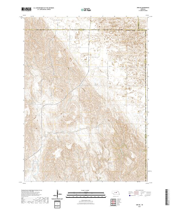 2021 Ord NE2021 Print · USGSThe Nebraska Sandhills borderlands come into focus in this recent survey of the Valley and Garfield county lines. Genealogists and land researchers can trace property boundaries along Amity Rd or follow the path of the Burwell-Sumter Canal and Miserable Cr.
 - 2021 Map of Mud Creek, 2021 Print
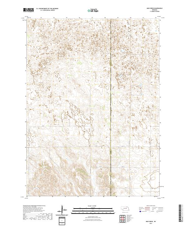 2021 Mud Creek2021 Print · USGSWheeler and Boone counties meet in this modern Nebraska survey of the high sandhills. Genealogists and local historians can trace modern rural routes like Old Hwy 101 and 110th Ave as they crisscross the drainage of Mud Creek.
 - 2021 Map of Greeley NE, 2021 Print
 2021 Greeley NE2021 Print · USGSGreeley County's rolling Sandhills terrain is documented here in the early twenty-first century as it transitions toward the Cedar River valley. Researchers can trace the layout of the Belfast area and follow local routes like Ericson Lake Rd and Belfast Rd.
 - 2021 Map of Deloit SW, 2021 Print
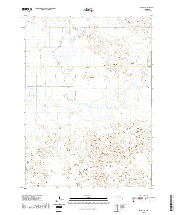 2021 Deloit SW2021 Print · USGSWheeler and Holt counties appear here in the early twenty-first century, showcasing the wetland-rich terrain of the Nebraska Sandhills. Researchers can trace rural infrastructure and local history via Saint Anthonys Cem and the waters of Clearwater Cr.
 - 2021 Map of Goose Lake, 2021 Print
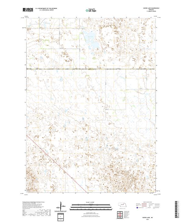 2021 Goose Lake2021 Print · USGSWheeler and Holt counties remain defined by their quiet Sandhills geography in this recent survey of the Nebraska interior. Local researchers and landowners can trace the shoreline of Goose Lake and the drainage patterns of Buffalo Flats and Cache Cr.
 - 2021 Map of Miles Ranch, 2021 Print
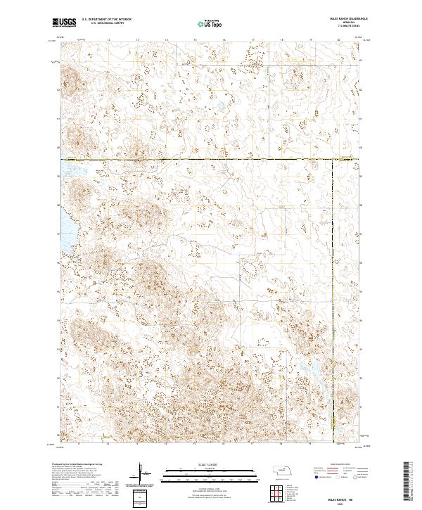 2021 Miles Ranch2021 Print · USGSThe Nebraska Sandhills come into focus in this recent survey of the rural ranchlands at the intersection of three counties. Researchers can trace the section-line roads and remote wetlands that define the area, including Rush Lake, Dumas Ave, and 848th Rd.
 - 2021 Map of Goose Lake SW, 2021 Print
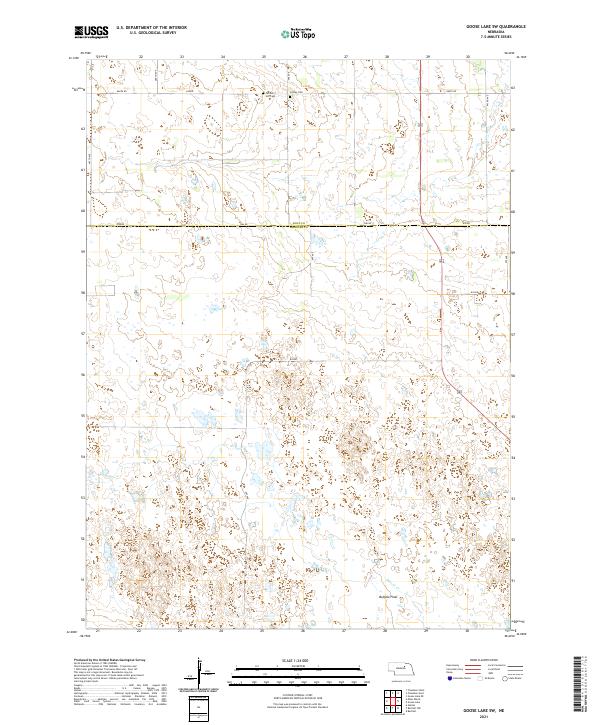 2021 Goose Lake SW2021 Print · USGSThe Nebraska Sandhills on the border of Holt and Wheeler Counties are documented here in recent years, showing a landscape of vast wetlands and prairie. Genealogists can locate Farmers Hill Cem and Conley Cem among the natural features of Buffalo Flats.
 - 2021 Map of Deloit, 2021 Print
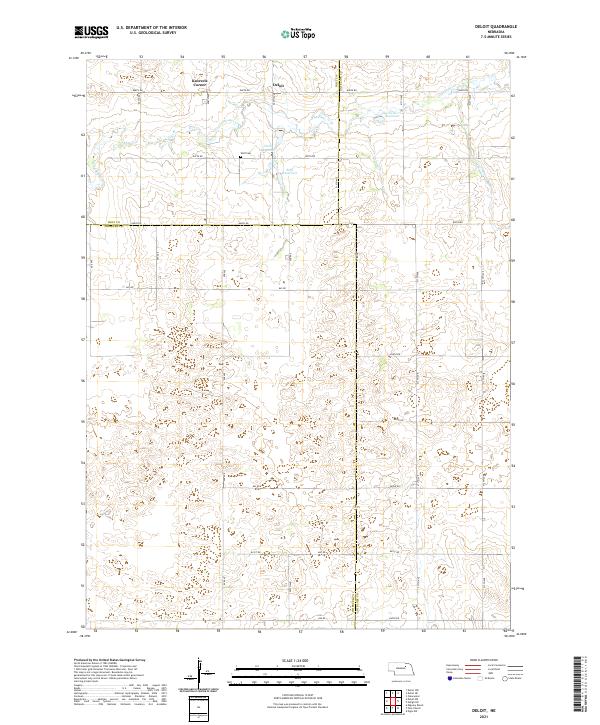 2021 Deloit2021 Print · USGSThe rural tri-county border area of Holt, Wheeler, and Antelope counties is captured here in the early 2020s. Genealogists and local historians can locate the Wolf Cem and trace the drainage of Clearwater Cr past Deloit and Knievels Corner.
End of results
Showing maps 1-20 of 20
Top cities of Wheeler County
Frequently asked questions
- What are the different types of historical maps available for Wheeler County?
- What is the oldest map of Wheeler County?
- Where can I purchase historical maps of Wheeler County for my home or office?
- Where can I download high-res historical maps of Wheeler County?
- Are there historical topographic maps available for Wheeler County?
- Is there historical aerial imagery available for Wheeler County?
- Where are historical maps of Wheeler County sourced from?