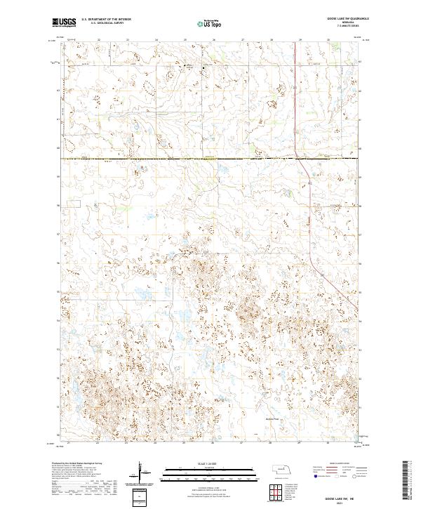
2021 Map of Goose Lake SW
USGS Topo · Published 2021About this map
Farmers Hill Cem and Conley Cem sit near the northern boundary of this landscape, where the border between Holt County and Wheeler County divides the terrain. The area is defined by a dense network of wetlands and small water bodies characteristic of the Nebraska Sandhills, stretching across Buffalo Flats in the southern reaches. Drainage is provided by the winding paths of Cache Creek and Beaver Creek, which cut through the township sections. A rigid grid of section-line roads, including 848th Road and 493rd Avenue, provides the primary access through this sparsely settled ranching and agricultural region. The map preserves the specific locations of pioneer-era burial grounds and the intricate hydrologic pattern of the flats before any modern large-scale alterations.
Find a feature on this map
24 named features on this map. Tap any name to fly to it.
Don’t see what you’re looking for? This feature index may not catch every label — zoom into the map to look around manually.
Map Details
Editions of this 2021 Goose Lake SW Map
This is the sole edition of this map. No revisions or reprints were ever made.
Other maps of this area

1954 · Bartlett NW
USGS Topo · 1:24,000

1954 · Bartlett
USGS Topo · 1:24,000

1954 · Gables
USGS Topo · 1:24,000

1955 · Broken Bow
USGS Topo · 1:250,000

1955 · O'Neill
USGS Topo · 1:250,000

1956 · Broken Bow
USGS Topo · 1:250,000

1959 · O'Neill
USGS Topo · 1:250,000

1969 · O'Neill
USGS Topo · 1:250,000

1981 · Goose Lake SW
USGS Topo · 1:24,000

1981 · Chambers East
USGS Topo · 1:24,000