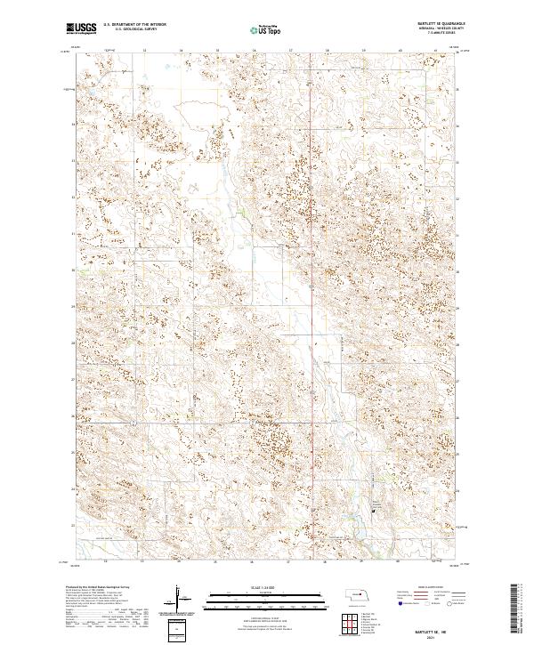
2021 Map of Bartlett SE
USGS Topo · Published 2021About this map
Pibel Lake and the nearby Pibel Pleasant Hill Cem anchor the southeastern corner of this Wheeler County landscape. The terrain is defined by the winding course of Clear Cr, which flows southward through the center of the quadrangle, flanked by a network of rural roads such as Ott RD and 828 RD. The mapping of these sections reflects the organized township and range system common to the Nebraska Sandhills, shown here through the boundaries of t22n r11w and t21n r10w.
Find a feature on this map
16 named features on this map. Tap any name to fly to it.
Don’t see what you’re looking for? This feature index may not catch every label — zoom into the map to look around manually.
Map Details
Editions of this 2021 Bartlett SE Map
This is the sole edition of this map. No revisions or reprints were ever made.
Other maps of this area

1954 · Greeley NE
USGS Topo · 1:24,000

1954 · Greeley NW
USGS Topo · 1:24,000

1954 · Bartlett NW
USGS Topo · 1:24,000

1954 · Spalding NW
USGS Topo · 1:24,000

1954 · Bartlett SE
USGS Topo · 1:24,000

1954 · Bartlett
USGS Topo · 1:24,000

1954 · Ericson
USGS Topo · 1:24,000

1955 · Broken Bow
USGS Topo · 1:250,000

1956 · Broken Bow
USGS Topo · 1:250,000

1960 · Spalding 2 SW
USGS Topo · 1:24,000