2010s Maps of York County, Nebraska
Explore 60 historic maps of York County from the 2010s. These maps offer a rare glimpse into what life looked like during the 2010s — showing old roads, neighborhoods, homes, and landmarks that have changed or disappeared over time.
Whether you're researching your family's past, planning a metal detecting trip, or studying how York County's landscape evolved across the 2010s, these high-resolution maps are a powerful tool for exploring the history of this region.
- Focus on a specific era: All maps on this page are from the 2010s, giving you a focused view of this time period.
- See what’s changed: Compare century-old streets, trails, and buildings to today's modern landscape using overlays and satellite layers.
- Research with precision: Use these maps for genealogy, historical research, land use analysis, or educational projects.
- View, download, or print: Maps are fully viewable online in high resolution, and can be downloaded or printed for your own records.
Start exploring York County's history through authentic maps from the 2010s. This is your window into the past.
York County, NE maps
(60)- 2011 Map of Bixby, 2011 Print
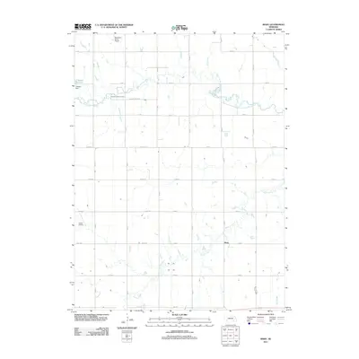 2011 Bixby2011 Print · USGSFillmore County at the start of the 2010s shows a landscape of steady agriculture and local aviation. Genealogists and historians can trace the rural grid around Bixby to find Farmers Valley Cemetery, Traudt Airport, and the winding School Creek.
 - 2011 Map of Grafton, 2011 Print
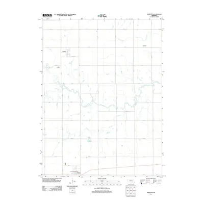 2011 Grafton2011 Print · USGSFillmore County at the start of the 2010s reveals a structured agricultural landscape centered on the village of Grafton. Researchers can locate family sites near Lushton Cemetery or trace the rural drainage of the West Fork Big Blue River.
 - 2011 Map of Waco, 2011 Print
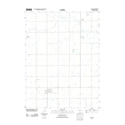 2011 Waco2011 Print · USGSThe York County plains outside Waco are captured here in the early twenty-first century, showing a landscape defined by agriculture and local water management. Genealogists and local historians can locate Dry Creek Cemetery and the site of Thayer.
 - 2011 Map of Bradshaw, 2011 Print
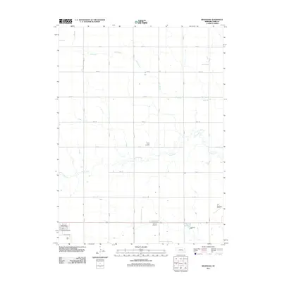 2011 Bradshaw2011 Print · USGSWestern York County remains a landscape of structured prairie and small-town life in this early 21st-century survey. Genealogists can locate family landmarks at Lincoln Creek Cemetery and Bethesda Cemetery, or trace the rural grid from Bradshaw to Carpenter Reservoir.
 - 2011 Map of Exeter, 2011 Print
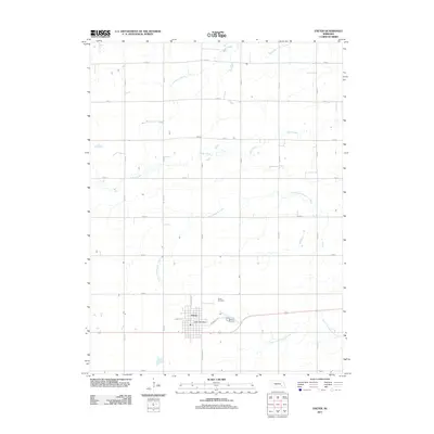 2011 Exeter2011 Print · USGSExeter and the surrounding Fillmore County plains appear here in the early twenty-first century as a quintessential Nebraska rail-and-road community. Genealogists and local historians can locate specific town blocks and rural landmarks like the Exeter Cemetery and Exeter Post Office.
 - 2011 Map of Beaver Crossing, 2011 Print
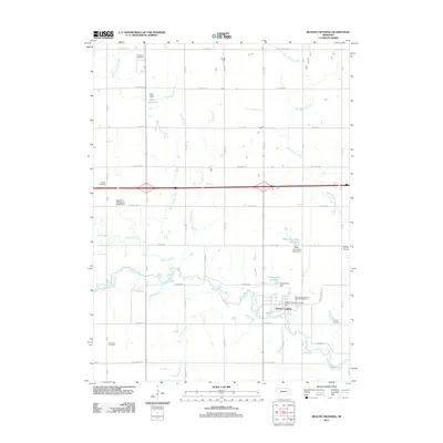 2011 Beaver Crossing2011 Print · USGSBeaver Crossing and the river valley of the West Fork Big Blue are captured in detail here during the early twenty-first century. Genealogists and local historians can trace family locations through Knob Hill Cemetery, Calvary Cemetery, and various irrigation landmarks like the Miller-Flowerday Reservoir.
 - 2011 Map of York North, 2011 Print
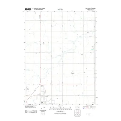 2011 York North2011 Print · USGSYork County's agricultural heartland and the northern reaches of the county seat are documented here in the early twenty-first century. Family history researchers can locate rural landmarks such as Zion Cemetery and Rosemond Cemetery, or trace the paths of Lincoln Creek and Coon Branch.
 - 2011 Map of Fairmont, 2011 Print
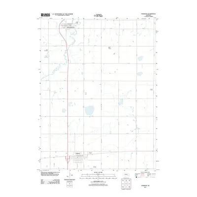 2011 Fairmont2011 Print · USGSThe agricultural plains of southeast Nebraska are captured here in the early twenty-first century as the section grid defines the rural landscape. Genealogists can locate several family and community burial grounds, including Pleasant Ridge Cemetery and Horton Cemetery.
 - 2011 Map of Henderson NE, 2011 Print
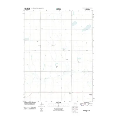 2011 Henderson NE2011 Print · USGSYork County farming life and water management are front and center in the early 2010s. Researchers can trace family history at the Plainfield Cemetery or follow the path of Lincoln Creek past Bradshaw and the Stuhr Reservoir.
 - 2011 Map of York South, 2011 Print
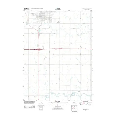 2011 York South2011 Print · USGSThe southern edge of York meets the fertile Nebraska plains in this detailed early 21st-century survey. Researchers can trace rural lineages through local sites like Greenwood Cemetery, Knox, and the banks of the West Fork Big Blue River.
 - 2011 Map of Utica, 2011 Print
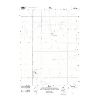 2011 Utica2011 Print · USGSThe village of Utica and its surrounding Seward County farmland are captured here in the early twenty-first century. Genealogists and local historians can trace family locations near the Utica Cemetery and Dewitt Cemetery, or follow the winding paths of Lincoln Creek and Wildcat Creek.
 - 2011 Map of York SW, 2011 Print
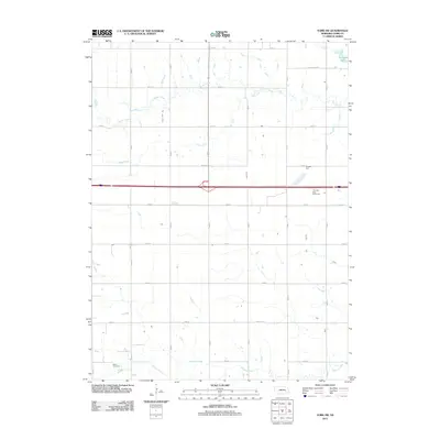 2011 York SW2011 Print · USGSYork County's rural landscape is captured here during the early twenty-first century, showing the intersection of historic sites and modern transit. Genealogists can locate Buller Cemetery while others trace the paths of Beaver Creek and Galaway Creek.
 - 2011 Map of Henderson, 2011 Print
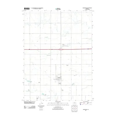 2011 Henderson2011 Print · USGSHenderson and the surrounding York County farmland are captured here in the early twenty-first century. Genealogists can trace family names and early community sites through the Mennonite Cemetery, Ebenezer Cemetery, and the Boardman Aerial Airport.
 - 2011 Map of Utica SW, 2011 Print
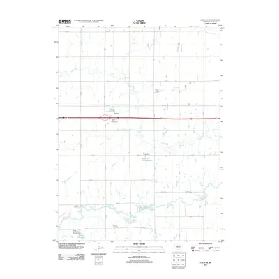 2011 Utica SW2011 Print · USGSYork County in the early twenty-first century maintains its grid-based rural character along the West Fork Big Blue River. Researchers can trace local heritage through several burial grounds, such as Blue Valley Cemetery and Saint Johns Cemetery, or locate water features like the Gray Reservoir.
 - 2011 Map of Friend, 2011 Print
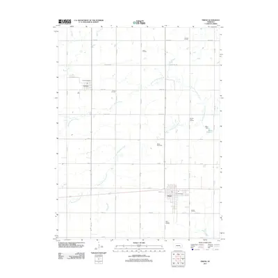 2011 Friend2011 Print · USGSSaline County agricultural life is captured here in the early twenty-first century, showing the established communities and deep-rooted farmsteads. Family historians can locate numerous small burial grounds like Zastrow Cemetery and Andrew Cemetery among the grid of county roads.
 - 2011 Map of Surprise, 2011 Print
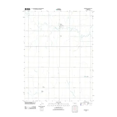 2011 Surprise2011 Print · USGSThe village of Surprise and its surrounding Butler County farmsteads are captured here in the early 2000s. Researchers can locate family landmarks like the Surprise Cemetery and trace water management features including the Richert Irrigation Dam and Aldrich Reservoir.
 - 2011 Map of Durant, 2011 Print
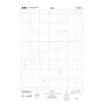 2011 Durant2011 Print · USGSPolk County agriculture and water management are captured in this early 2010s survey of the Nebraska prairie. Genealogists and local historians can locate Pleasant Hill Cemetery and trace the winding course of the Big Blue River near Durant.
 - 2011 Map of Stromsburg, 2011 Print
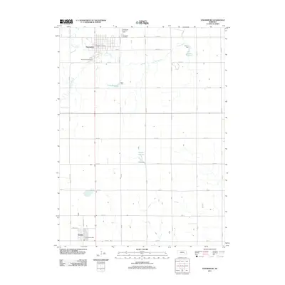 2011 Stromsburg2011 Print · USGSThe Polk County prairie near the Big Blue River is documented here as it appeared in the early 21st century. Genealogists and local historians can trace the layouts of Stromsburg and Benedict, while locating sites like the Stromsburg Municipal Cemetery and Mentink Reservoir.
 - 2011 Map of Polk, 2011 Print
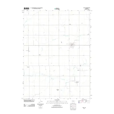 2011 Polk2011 Print · USGSThe agricultural plains of Nebraska are detailed here in the early twenty-first century as they surround the town of Polk. Genealogists and local historians can trace the positions of the Laclede Cemetery, Polk Cemetery, and the riverfront Polk Bible Camp.
 - 2011 Map of Gresham, 2011 Print
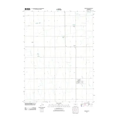 2011 Gresham2011 Print · USGSGresham and the surrounding York County plains are captured here in the early 2000s, showing a landscape defined by agriculture and water management. Genealogists and local historians can locate the Gresham Post Office and several rural burial grounds including Hoffer Cemetery and Blue Ridge Cemetery.
 - 2014 Map of Stromsburg, 2014 Print
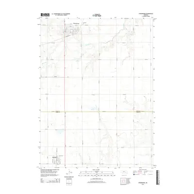 2014 Stromsburg2014 Print · USGSThe plains of Polk and York Counties are captured here in the early 2010s, centered on the riverfront settlement of Stromsburg. Local historians can trace town developments along Commercial St and identify regional landmarks like Stromsburg Cem and Mentink Reservoir.
 - 2014 Map of Surprise, 2014 Print
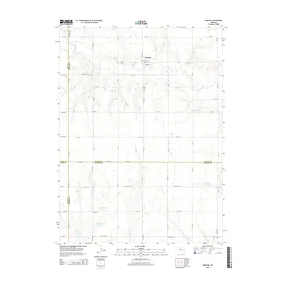 2014 Surprise2014 Print · USGSSurprise and its surrounding prairie landscapes are captured here in the early twenty-first century, showing the settlement's relationship with the Big Blue River. Genealogists and local historians can locate the Surprise Cemetery and trace water features like Aldrich Reservoir and Cottonwood Creek.
 - 2014 Map of Gresham, 2014 Print
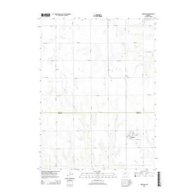 2014 Gresham2014 Print · USGSGresham and the surrounding farmlands on the York and Polk county border are captured here in the early twenty-first century. Genealogists and local historians can trace family locations near Cedar Lawn Cem, Torell Reservoir, and the street grid of Gresham.
 - 2014 Map of Durant, 2014 Print
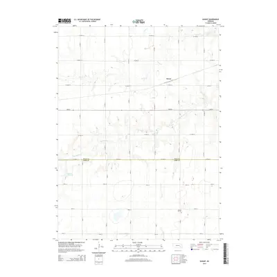 2014 Durant2014 Print · USGSThe borderlands of Polk and York Counties are captured here in the early twenty-first century, showing a landscape defined by industrial rail and river drainage. You can trace the rural grid from the settlement of Durant to landmarks like Pleasant Hill Cem and Bjerrum Reservoir.
 - 2014 Map of Bixby, 2014 Print
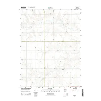 2014 Bixby2014 Print · USGSSoutheast Nebraska’s rural landscape is captured here in the early twenty-first century, spanning the junction of four counties. Genealogists and local historians can trace family locations near Bixby, Farmers Valley Cem, and the West Fork Big Blue River.
Showing maps 1-25 of 60
Top cities of York County
- York historical maps
- Henderson historical maps
- McCool Junction historical maps
- Bradshaw historical maps
- Benedict historical maps
- Waco historical maps
See more
Frequently asked questions
- What are the different types of historical maps available for York County?
- What is the oldest map of York County?
- Where can I purchase historical maps of York County for my home or office?
- Where can I download high-res historical maps of York County?
- Are there historical topographic maps available for York County?
- Is there historical aerial imagery available for York County?
- Where are historical maps of York County sourced from?