2020s Maps of York County, Nebraska
Explore 20 historic maps of York County from the 2020s. These maps offer a rare glimpse into what life looked like during the 2020s — showing old roads, neighborhoods, homes, and landmarks that have changed or disappeared over time.
Whether you're researching your family's past, planning a metal detecting trip, or studying how York County's landscape evolved across the 2020s, these high-resolution maps are a powerful tool for exploring the history of this region.
- Focus on a specific era: All maps on this page are from the 2020s, giving you a focused view of this time period.
- See what’s changed: Compare century-old streets, trails, and buildings to today's modern landscape using overlays and satellite layers.
- Research with precision: Use these maps for genealogy, historical research, land use analysis, or educational projects.
- View, download, or print: Maps are fully viewable online in high resolution, and can be downloaded or printed for your own records.
Start exploring York County's history through authentic maps from the 2020s. This is your window into the past.
York County, NE maps
(20)- 2021 Map of Bradshaw, 2021 Print
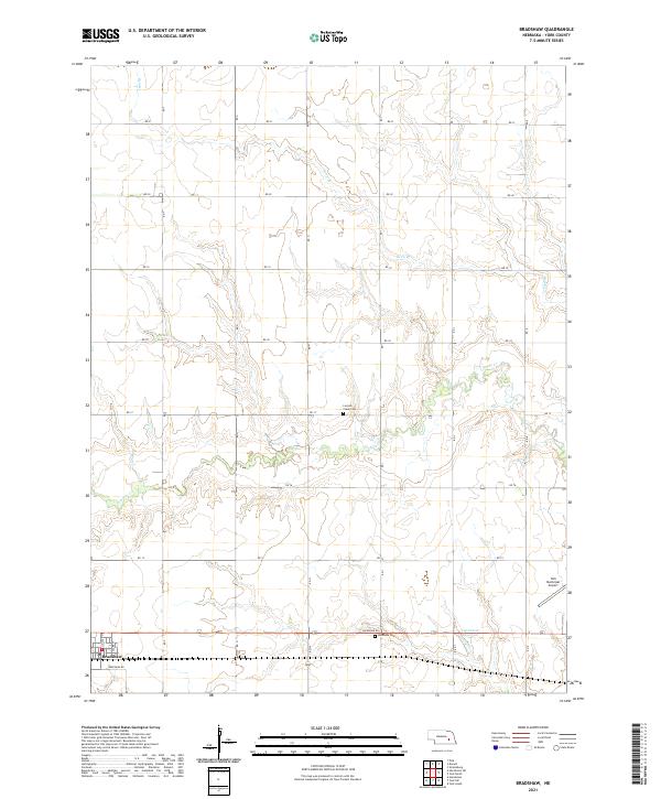 2021 Bradshaw2021 Print · USGSThe community of Bradshaw and the surrounding York County plains are captured here in the early 2020s. Genealogists and researchers can trace family roots at Lincoln Creek Cem or locate regional landmarks like the York Municipal Airport.
 - 2021 Map of Exeter, 2021 Print
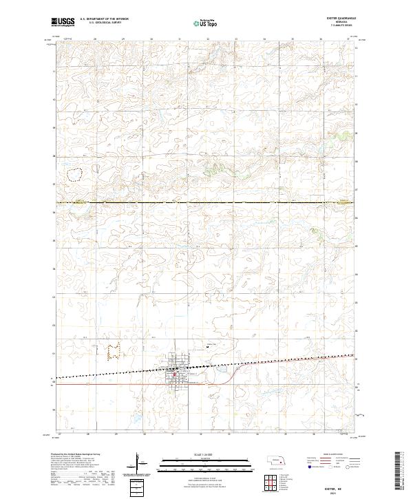 2021 Exeter2021 Print · USGSThe village of Exeter and the surrounding Fillmore County farmland are documented here in the early twenty-first century. Researchers can trace local genealogy at the Exeter Cem or map the drainage of N Fork Johnson Cr and Antelope Cr.
 - 2021 Map of Utica, 2021 Print
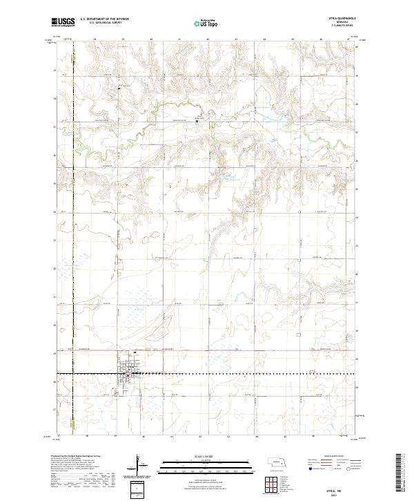 2021 Utica2021 Print · USGSThe village of Utica and the surrounding farmland of Seward County are captured here in the early twenty-first century. Researchers can trace rural lineages through local landmarks like Utica Cem, Blue Ridge Cem, and the waters of Lincoln Cr.
 - 2021 Map of Henderson NE, 2021 Print
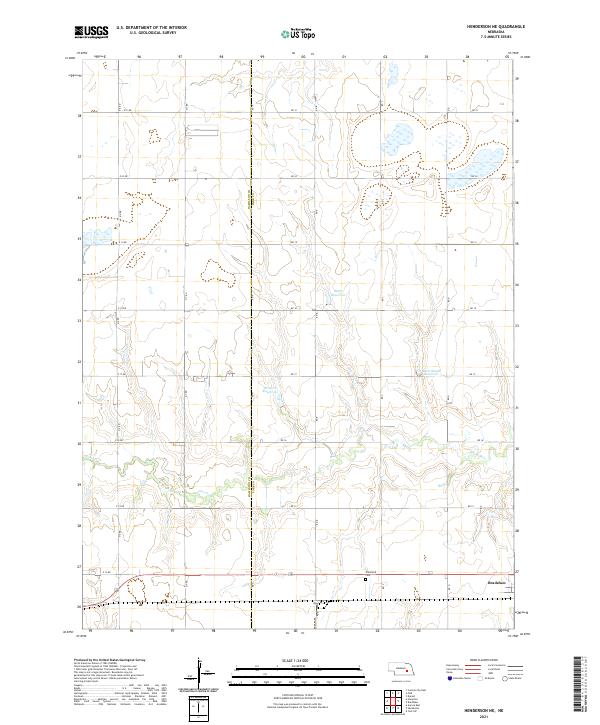 2021 Henderson NE2021 Print · USGSThe York County plains in the early twenty-first century reveal an enduring agricultural grid carved by section roads and small reservoirs. Genealogists and local historians can trace the outskirts of Bradshaw and locate the Plainfield Cem near Lincoln Cr.
 - 2021 Map of Bixby, 2021 Print
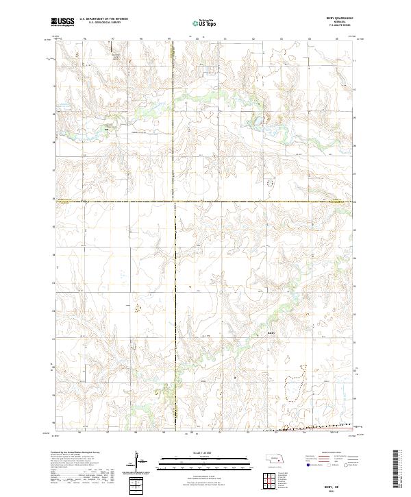 2021 Bixby2021 Print · USGSThe rural borders of four Nebraska counties meet here in the early twenty-first century, centered on the small community of Bixby. Genealogists and local historians can trace the landscape around Farmers Valley Cem and the banks of the West Fork Big Blue River.
 - 2021 Map of Fairmont, 2021 Print
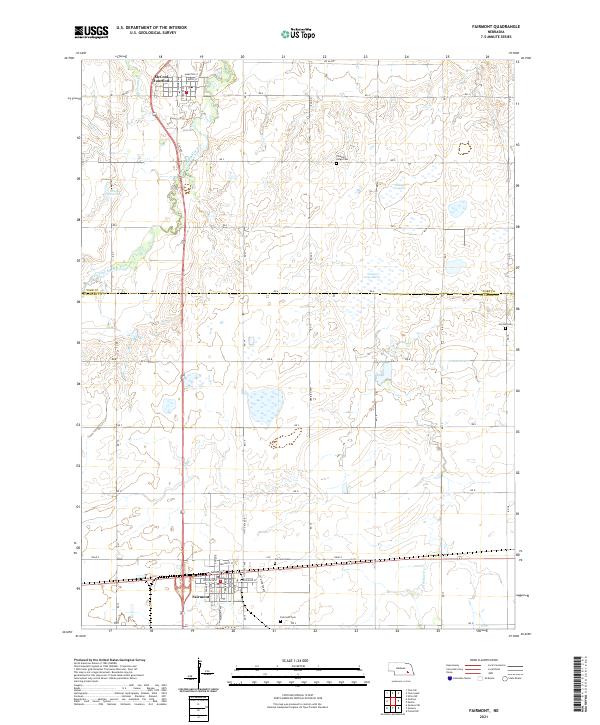 2021 Fairmont2021 Print · USGSThe agricultural plains of York and Fillmore Counties come into focus in the early 2020s, showing the settled grid surrounding the West Fork Big Blue River. Researchers can trace family roots at Fairmont Cem or explore the rail-linked streets of Fairmont and McCool Junction.
 - 2021 Map of Grafton, 2021 Print
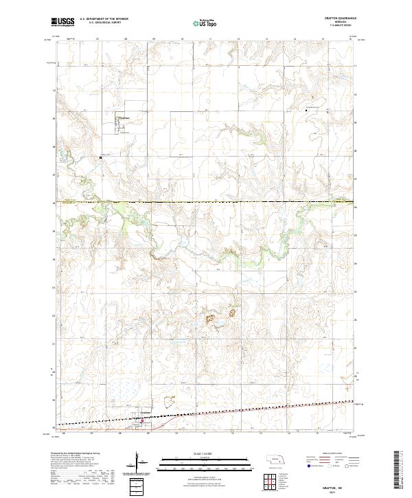 2021 Grafton2021 Print · USGSYork and Fillmore counties are shown here in the early twenty-first century, structured by an extensive grid of rural section roads. Researchers can trace local heritage at Lushton Cem or follow the path of the West Fork Big Blue River and Elk Run.
 - 2021 Map of Waco, 2021 Print
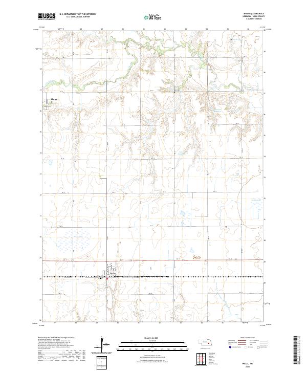 2021 Waco2021 Print · USGSYork County, Nebraska, is seen here in the early 2020s, showcasing a landscape of structured agriculture and rural settlements. Researchers can locate family landmarks like Waco Cem and Palo Cem, or trace the paths of Lincoln Cr and Tonniges Reservoir.
 - 2021 Map of York South, 2021 Print
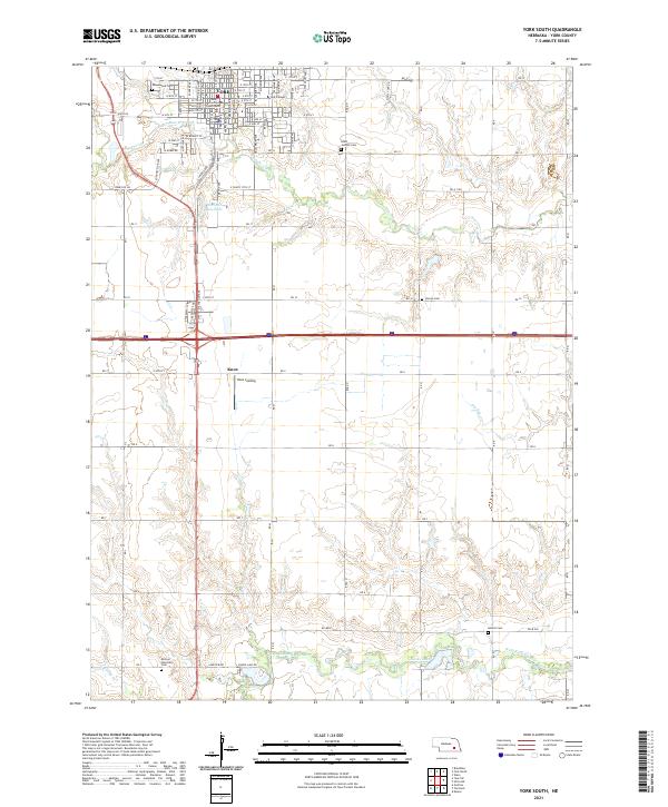 2021 York South2021 Print · USGSYork and its southern environs appear in this modern topographic study, showing the city's growth alongside the rural townships of the 2020s. Researchers can locate family landmarks like Saints Josephs Cem, York College, and the winding West Fork Big Blue River.
 - 2021 Map of York North, 2021 Print
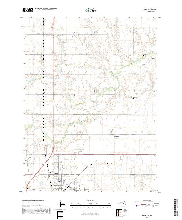 2021 York North2021 Print · USGSThe northern outskirts of York and the surrounding Nebraska prairie are captured here in the early twenty-first century. Genealogists and local historians can trace rural landmarks including Zion Cem, Rosemond Cem, and the quiet settlements of Thayer and Houston.
 - 2021 Map of York SW, 2021 Print
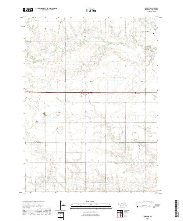 2021 York SW2021 Print · USGSYork County's agricultural grid and drainage basins are captured in detail during the early twenty-first century. Genealogists and local historians can locate the Mennonite Cem or trace the paths of Beaver Cr and Galaway Cr across the plains.
 - 2021 Map of Friend, 2021 Print
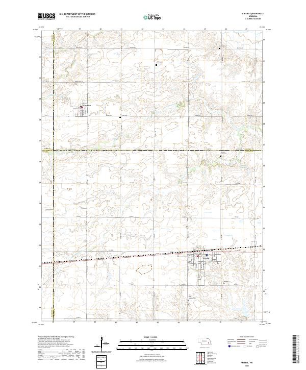 2021 Friend2021 Print · USGSSoutheast Nebraska’s rolling farm country is captured here in the early twenty-first century, centered on the historic crossroads of Friend and Cordova. Genealogists can trace rural family plots at Zastrow Cem and Johnson Creek Cem while mapping the waterways of N Fork Johnson Cr.
 - 2021 Map of Henderson, 2021 Print
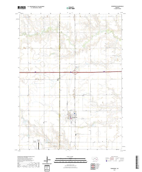 2021 Henderson2021 Print · USGSThe rural landscapes of York County come alive in this detailed look at a high-plains farming community during the early 2020s. Genealogists can trace local history through numerous heritage sites like the Mennonite Brethren Cem and landmarks such as the Boardman Aerial Airport.
 - 2021 Map of Beaver Crossing, 2021 Print
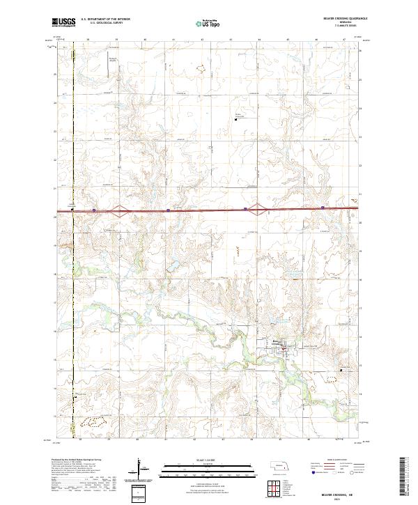 2021 Beaver Crossing2021 Print · USGSBeaver Crossing and the surrounding Seward County farmlands are documented here in the early twenty-first century. Researchers can locate several community landmarks including Prairie Grove Cem, Flying-V Airport, and the meanders of the West Fork Big Blue River.
 - 2021 Map of Utica SW, 2021 Print
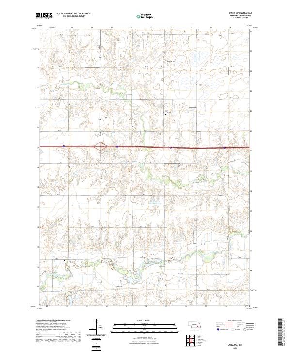 2021 Utica SW2021 Print · USGSYork County's farm country is shown here in detail during the early 2020s, revealing a landscape shaped by the West Fork Big Blue River. Genealogists can trace family roots at Blue Valley Cem, Ebenezer Cem, or Gilmore Cem.
 - 2021 Map of Durant, 2021 Print
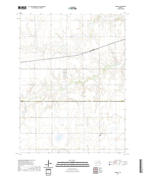 2021 Durant2021 Print · USGSAgricultural life in Polk and York Counties is captured here in the early 2020s, showing the intersection of the Big Blue River and the local road grid. Researchers can find the Pleasant Hill Cem and the settlement of Durant among the section lines.
 - 2021 Map of Surprise, 2021 Print
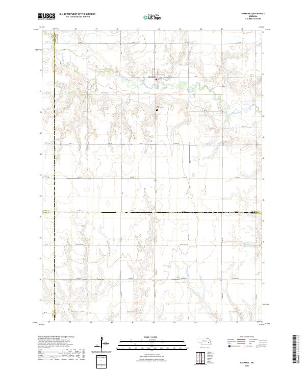 2021 Surprise2021 Print · USGSThe village of Surprise and the upper reaches of the Big Blue River are captured here at the start of the 2020s. Genealogists and local historians can trace the four-county boundary lines and locate landmarks like the Blue Valley Cem and Aldrich Reservoir.
 - 2021 Map of Gresham, 2021 Print
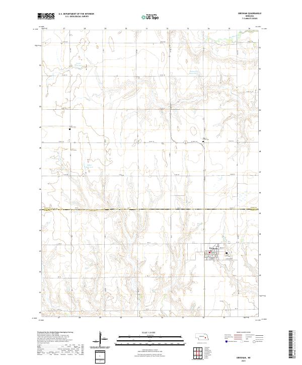 2021 Gresham2021 Print · USGSThe agricultural lands of York and Polk counties appear here in the early twenty-first century, centered on the village of Gresham. Researchers can locate family sites near rural landmarks like Cedar Lawn Cem, Blue Ridge Cem, and Hoffer Cem.
 - 2021 Map of Polk, 2021 Print
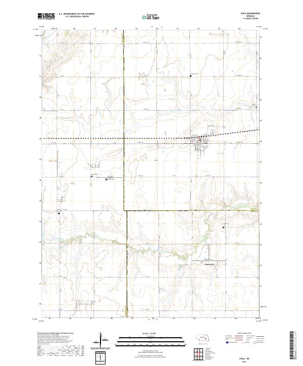 2021 Polk2021 Print · USGSPolk and the surrounding plains of eastern Nebraska are captured here at the start of the 2020s. Researchers can locate numerous rural burial grounds like Laclede Cem and Arborville Cem, or trace the winding course of the Big Blue River.
 - 2021 Map of Stromsburg, 2021 Print
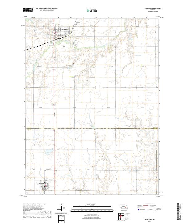 2021 Stromsburg2021 Print · USGSThe Polk and York County borderlands are documented here in the early 2020s, centered on the settled grids of Stromsburg and Benedict. Researchers can trace local land divisions and landmarks like Stromsburg Cem and the Big Blue River.
End of results
Showing maps 1-20 of 20
Top cities of York County
- York historical maps
- Henderson historical maps
- McCool Junction historical maps
- Bradshaw historical maps
- Benedict historical maps
- Waco historical maps
See more
Frequently asked questions
- What are the different types of historical maps available for York County?
- What is the oldest map of York County?
- Where can I purchase historical maps of York County for my home or office?
- Where can I download high-res historical maps of York County?
- Are there historical topographic maps available for York County?
- Is there historical aerial imagery available for York County?
- Where are historical maps of York County sourced from?