Old Maps of York County, Nebraska for Hiking & Exploration
Hike through history with 114 historic maps of York County. Explore old trails, ghost towns, and forgotten backroads — perfect for outdoor adventurers and local explorers.
- Rediscover forgotten places: Map out old mining camps, roads, and footpaths that no longer exist on modern maps.
- Layer with modern tools: Combine with LiDAR or satellite views to plan hikes through historical terrain.
- Made for exploration: Popular among hikers, overlanders, and local history lovers.
Use these maps to find adventure and explore the hidden past of York County.
York County, NE maps
(114)- 1896 Map of Stromsburg
 1896 Stromsburg1896 Print · USGSEast-central Nebraska comes into focus during the late nineteenth-century rail boom, following the vital corridors of the Platte and Loup Rivers. Researchers can trace early township developments and the paths of the Union Pacific R. R. through Stromsburg, Fullerton, and Central City.5 unique versions available
 - 1898 Map of York
 1898 York1898 Print · USGSIn the late 1890s, the Nebraska plains were defined by a massive expansion of competing rail lines and growing farm towns. Trace the early township grids and historic rail hubs like York, Sutton, and the river crossing at McCool.4 unique versions available
 - 1899 Map of David City
 1899 David City1899 Print · USGSButler County and its neighbors flourished during the late nineteenth-century railroad boom, centered on the junction at David City. Genealogists and historians can trace the early footprints of Surprise, Wayland, and Rising along the extensive steam rail networks.3 unique versions available
 - 1899 Map of York, 1922 Print
 1899 York1922 Print · USGSSoutheast Nebraska was a burgeoning hub of rail and river commerce in the 1890s as homesteads solidified into permanent townships. Genealogists can trace family roots through early rail stops like Saronville, Lushton, and the county seats of York and Geneva.
 - 1934 Map of Utica, 1961 Print
 1934 Utica1961 Print · USGSThe Seward County plains in the 1930s reveal a landscape of small towns and rural school districts connected by the Chicago and Northwestern. Trace family history at Prairie Grove Cem or locate forgotten sites like Midget Sch and the Flowing Well.2 unique versions available
 - 1937 Map of Utica
 1937 Utica1937 Print · USGSThe Seward County plains are captured in the mid-1930s, showing a landscape defined by rail lines and rural school districts. Genealogists can locate family landmarks like Prairie Grove Cem and numerous schools such as Rosemound Sch and Kinkaid Sch.2 unique versions available
 - 1955 Map of Fremont, 1966 Print
 1955 Fremont1966 Print · USGSEastern Nebraska and the Missouri River border are captured during the mid-fifties, just as the interstate system began to emerge. Researchers can trace the development of Omaha, locate the sprawling Offutt Air Force Base, or study the river-bound ecology of the De Soto National Wildlife Refuge.3 unique versions available
 - 1955 Map of Lincoln, 1967 Print
 1955 Lincoln1967 Print · USGSSoutheast Nebraska in the mid-fifties presents a landscape of thriving railroad towns and the expanding footprint of the capital city. Researchers can trace the legacy of the pioneer era at the Homestead National Monument of America or locate mid-century military infrastructure like Lincoln Air Force Base.5 unique versions available
 - 1957 Map of Fremont
 1957 Fremont1957 Print · USGSEastern Nebraska and western Iowa thrive along the Platte and Missouri rivers during the mid-fifties. Genealogists can locate small rural schools like Fairview School and tracing the paths of the Union Pacific through towns like Albion and Humphrey.
 - 1957 Map of Lincoln
 1957 Lincoln1957 Print · USGSSoutheastern Nebraska at mid-century shows a landscape of thriving rail towns and expanding infrastructure centered on Lincoln. Researchers can trace the path of the Chicago Burlington and Quincy railroad through communities like Weeping Water, Fairmont, and Seward.
 - 1958 Map of Fremont
 1958 Fremont1958 Print · USGSEastern Nebraska in the late fifties is captured here as a thriving corridor of river-valley commerce and rail transport. Researchers can trace the development of Omaha and Fremont or locate local landmarks like Midland College and Offutt Air Force Base.
 - 1958 Map of Lincoln
 1958 Lincoln1958 Print · USGSSoutheast Nebraska at the end of the 1950s shows a region defined by agricultural trade and the expansion of the state capital. Genealogists can trace family footprints across the Blue Valley and locate landmarks like the Lincoln AFB or the U.S. Veterans Hospital.
 - 1962 Map of Polk, 1964 Print
 1962 Polk1964 Print · USGSMid-century Nebraska farm life is preserved here, centered on the Union Pacific rail line and the town of Polk. Genealogists can trace family footprints through several rural burial grounds like Laclede Cem and the Immanuel Lutheran Sch.
 - 1965 Map of Stromsburg, 1966 Print
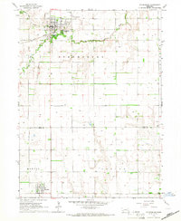 1965 Stromsburg1966 Print · USGSMid-century Nebraska life unfolds across the Polk and York county lines, where the Swedish heritage hub of Stromsburg anchors a landscape of river-fed agriculture. Trace the path of the Union Pacific and an Old Railroad Grade near Benedict.
 - 1965 Map of Durant, 1966 Print
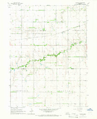 1965 Durant1966 Print · USGSAgricultural life in Polk and York counties is preserved here in the mid-1960s, centered on the railroad siding of Durant. Genealogists and historians can trace family locations through rural districts like Arborville and find the Pleasant Hill Cem near the Big Blue River.
 - 1965 Map of Gresham, 1966 Print
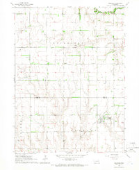 1965 Gresham1966 Print · USGSMid-century York and Polk Counties come into focus as the Gresham rail corridor and agricultural townships are mapped in detail. Genealogists can trace family footprints near Wayland Ch or burial sites like Hoffer Cem and Cedar Lawn Cem.
 - 1966 Map of Friend, 1967 Print
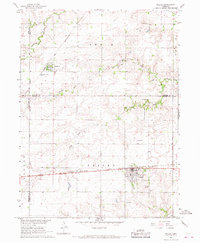 1966 Friend1967 Print · USGSSaline County agricultural life and rail connections are preserved here as they appeared in the mid-1960s. Genealogists can trace family landmarks and rural burials at St Josephs Cem, Zastrow Cem, and the village of Cordova.
 - 1966 Map of Beaver Crossing, 1967 Print
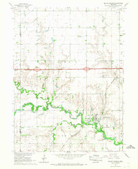 1966 Beaver Crossing1967 Print · USGSSeward County at the height of the sixties shows a thriving Beaver Crossing at the junction of the Chicago and North Western rail line and the river. Genealogists can trace local roots through numerous sites like Prairie Grove Cem, Calvary Cem, and Knob Hill.
 - 1966 Map of Surprise, 1967 Print
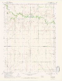 1966 Surprise1967 Print · USGSThe village of Surprise and its surrounding farmsteads are captured in the mid-1960s at the meeting of Butler, Polk, York, and Seward counties. Trace local family history through the Surprise Cem, St Paul Ch, and an Old Railroad Grade.
 - 1966 Map of Utica, 1967 Print
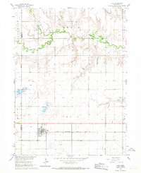 1966 Utica1967 Print · USGSEastern Nebraska farming life in the mid-sixties centers on the village of Utica and its vital rail connection. Researchers can trace family farmsteads and local landmarks like the Emmanuel Ch, Dry Creek Cem, and the path of the Chicago Burlington and Quincy railroad.
 - 1968 Map of Henderson NE, 1971 Print
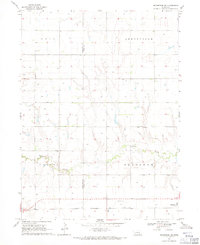 1968 Henderson NE1971 Print · USGSThe rural expanse of York and Hamilton Counties comes alive in the late sixties as irrigation and rail lines define the prairie. Genealogists and local historians can trace the Chicago Burlington and Quincy railroad or locate the Plainfield Cem and Zion Sch.
 - 1968 Map of Henderson, 1971 Print
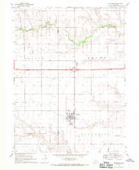 1968 Henderson1971 Print · USGSThe town of Henderson and its surrounding townships are captured here during a period of agricultural growth in the late sixties. Genealogists can trace family and community roots through the Mennonite Cem, Bethesda Cem, and Friesen Cem.
 - 1969 Map of Bixby
 1969 Bixby1969 Print · USGSThe rural landscapes of Fillmore and York Counties are captured in the late sixties as the river-and-rail economy defined the region. Researchers can trace local heritage at Farmers Valley, locate the Salem Ch, or follow the Burlington Northern line.
 - 1969 Map of York North, 1971 Print
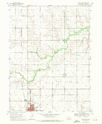 1969 York North1971 Print · USGSYork and the surrounding plains of central Nebraska are shown here in the late sixties as the town expanded into a regional hub. Researchers can trace family roots at Rosemond Cem or locate vanished landmarks like Edison Sch and the Drive-in Theater.2 unique versions available
 - 1969 Map of Utica SW, 1971 Print
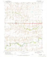 1969 Utica SW1971 Print · USGSAgricultural York County is captured in the late sixties as modern travel via Interstate 80 crosses the prairie. Genealogists can trace family roots at Ebenezer Ph Cemetery, Blue Valley Cemetery, and the St Johns School.
Showing maps 1-25 of 114
Top cities of York County
- York historical maps
- Henderson historical maps
- McCool Junction historical maps
- Bradshaw historical maps
- Benedict historical maps
- Waco historical maps
See more
Frequently asked questions
- What are the different types of historical maps available for York County?
- What is the oldest map of York County?
- Where can I purchase historical maps of York County for my home or office?
- Where can I download high-res historical maps of York County?
- Are there historical topographic maps available for York County?
- Is there historical aerial imagery available for York County?
- Where are historical maps of York County sourced from?