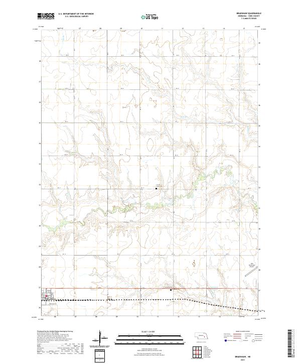
2021 Map of Bradshaw
USGS Topo · Published 2021About this map
Bradshaw serves as the central hub of this agricultural landscape in York County, where the grid of rural roads like Lockridge Rd and Bradshaw Rd defines the movement across the plains. The terrain is subtly shaped by the winding paths of Lincoln Cr and Coon Br, which cut through the steady rise and fall of the Nebraska prairie. These watercourses provide a natural counterpoint to the straight lines of the township and range survey system, visible in the demarcations of t11n r3w and surrounding sections.
Find a feature on this map
22 named features on this map. Tap any name to fly to it.
Don’t see what you’re looking for? This feature index may not catch every label — zoom into the map to look around manually.
Map Details
Editions of this 2021 Bradshaw Map
This is the sole edition of this map. No revisions or reprints were ever made.
Other maps of this area

1896 · Stromsburg
USGS Topo · 1:125,000

1898 · York
USGS Topo · 1:125,000

1899 · York
USGS Topo · 1:125,000

1955 · Fremont
USGS Topo · 1:250,000

1955 · Lincoln
USGS Topo · 1:250,000

1957 · Fremont
USGS Topo · 1:250,000

1957 · Lincoln
USGS Topo · 1:250,000

1958 · Fremont
USGS Topo · 1:250,000

1958 · Lincoln
USGS Topo · 1:250,000

1962 · Polk
USGS Topo · 1:24,000