Old Maps of Echo, Nevada for Academic Research
Study the evolution of Echo with 9 high-resolution historic maps. Whether you're teaching, researching, or modeling changes in land use, these maps provide essential visual documentation of urban, environmental, and geographic change.
- Analyze long-term change: Track patterns in development, transportation, and natural features.
- Ideal for environmental or urban studies: Support academic projects with primary historical map data.
- Use in the classroom or lab: Educators and researchers rely on these maps to bring historical context to life.
These maps are a powerful tool for teaching, research, and visualizing how Echo has changed over the decades.
Echo, NV maps
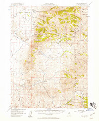
(9)- 1955 Map of McDermitt
 1955 McDermitt1955 Print · USGSNorthern Nevada in the mid-fifties shows a landscape of mining camps and vast cattle ranges. Trace the early footprints of Tuscarora or the remote Cordero Mine and National Mine tucked into the high desert peaks.3 unique versions available
 - 1956 Map of Bull Run, 1958 Print
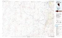
 1956 Bull Run1958 Print · USGSElko County in the mid-fifties is captured here as a landscape of remote mining claims and cattle outfits. Researchers can trace historic operations like the Edgemont Mine, Blue Jacket Mine, and the 7-J Ranch across the rugged Bull Run Mountains.3 unique versions available
 - 1959 Map of McDermitt
 1959 McDermitt1959 Print · USGSThe high-desert borderlands of northern Nevada and southern Oregon are captured here in the late fifties. Researchers can trace historic mining operations at the Cordero Mine and Getchell Mine, or locate settlements like Paradise Valley and Tuscarora.2 unique versions available
 - 1982 Map of Bull Run Mts
 1982 Bull Run Mts1982 Print · USGSElko County and the Idaho borderlands are shown here in the early eighties as a hub of mining and water management. Researchers can trace historic extraction sites like the Edgemont Mine and Cornucopia Mine alongside the Owyhee River and the settlement of Tuscarora.2 unique versions available
 - 1987 Map of Bull Run Reservoir
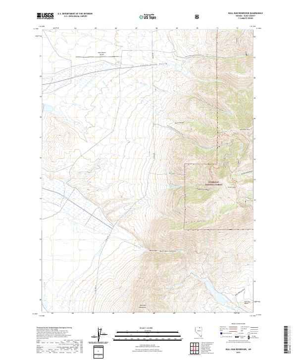
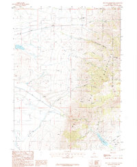 1987 Bull Run Reservoir1987 Print · USGSElko County rangelands and high peaks meet in this late-twentieth-century study of the Bull Run range. Mining historians and genealogists can locate remote outposts like the Edgemont Mine and family holdings including the S L Ranch or Silver Creek Ranch.
 - 2012 Map of Bull Run Reservoir, 2012 Print
 2012 Bull Run Reservoir2012 Print · USGSCovers Echo, including Elko County, United States, and other nearby areas
 - 2014 Map of Bull Run Reservoir, 2014 Print
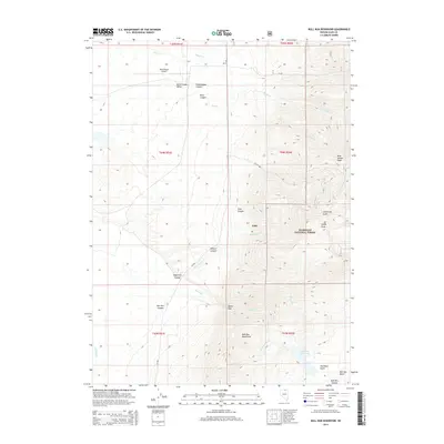 2014 Bull Run Reservoir2014 Print · USGSCovers Echo, including Elko County, United States, and other nearby areas
 - 2018 Map of Bull Run Reservoir, 2018 Print
 2018 Bull Run Reservoir2018 Print · USGSCovers Echo, including Elko County, United States, and other nearby areas
 - 2021 Map of Bull Run Reservoir, 2021 Print
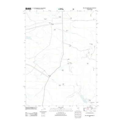
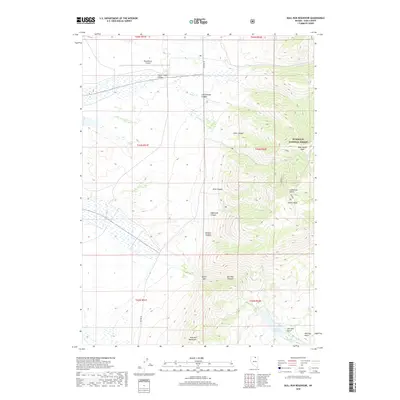
 2021 Bull Run Reservoir2021 Print · USGSElko County’s high-altitude backcountry is documented here during the early twenty-first century, showing the intersection of working ranchlands and protected forests. Researchers can trace remote routes like Owyhee Rd or locate landmarks such as Petan Ranch Airport and Porter Peak.
End of results
Showing maps 1-9 of 9
Top cities near Echo
Frequently asked questions
- What are the different types of historical maps available for Echo?
- What is the oldest map of Echo?
- Where can I purchase historical maps of Echo for my home or office?
- Where can I download high-res historical maps of Echo?
- Are there historical topographic maps available for Echo?
- Is there historical aerial imagery available for Echo?
- Where are historical maps of Echo sourced from?