Old Maps of Elaine (site), Nevada for Academic Research
Study the evolution of Elaine (site) with 11 high-resolution historic maps. Whether you're teaching, researching, or modeling changes in land use, these maps provide essential visual documentation of urban, environmental, and geographic change.
- Analyze long-term change: Track patterns in development, transportation, and natural features.
- Ideal for environmental or urban studies: Support academic projects with primary historical map data.
- Use in the classroom or lab: Educators and researchers rely on these maps to bring historical context to life.
These maps are a powerful tool for teaching, research, and visualizing how Elaine (site) has changed over the decades.
Elaine (site), NV maps
(11)- 1953 Map of Spruce Mountain, 1955 Print
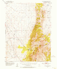 1953 Spruce Mountain1955 Print · USGSIn the high basins of Elko County during the early fifties, the mining and ranching legacy of the Great Basin is clearly etched. Trace the mineral operations of the Monarch Mine and Black Forest Mine, or locate the historic settlement at Sprucemont and seasonal outposts like Sheep Camp.4 unique versions available
 - 1955 Map of Elko, 1974 Print
 1955 Elko1974 Print · USGSNortheastern Nevada in the mid-fifties is captured here as a crossroads of transcontinental rail and high desert ranching. Trace old rail stops from Wells to Elko or find remote landmarks like Shanty Town and Medicine Spring.3 unique versions available
 - 1958 Map of Elko
 1958 Elko1958 Print · USGSNorthern Nevada in the late fifties shows a landscape of high-desert ranching and Cold War aviation. Trace old rail lines like the Nevada Northern or locate the Victoria Mine and Wendover Air Force Base.2 unique versions available
 - 1962 Map of Elko
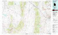
 1962 Elko1962 Print · USGSNortheastern Nevada in the early sixties is a landscape of mountain ranges and rail corridors, where the river valleys support ranching and transit. Locate old mining operations like Battle Creek Mine, rural stops like Moleen, and the sprawling Wendover Bombing and Gunnery Range.
 - 1965 Map of Elko
 1965 Elko1965 Print · USGSElko and the northeastern Nevada desert are captured here in the mid-1960s, showcasing a landscape of high ranges and essential rail corridors. Researchers can trace the path of the Western Pacific railroad through small stops like Tobar and Ventosa, or locate remote sites like Shanty Town near the Ruby Lake wetlands.
 - 1985 Map of Wendover
 1985 Wendover1985 Print · USGSThe high desert borderlands of Utah and Nevada are captured here during the mid-eighties, dominated by vast salt flats and isolated mountain ranges. Researchers can trace the sprawling Wendover Air Force Auxiliary Field, old rail stops like Shafter, and remote workings at the Monarch Mine.
 - 1986 Map of Chase Spring
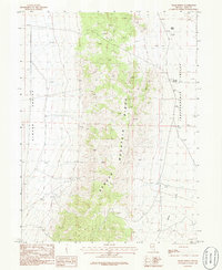 1986 Chase Spring1986 Print · USGSElko County, Nevada, is captured here in the mid-1980s as a high-desert landscape of ranching and mining. Trace the divide between Clover Valley and Independence Valley to find local landmarks like Chase Spring, Mound Springs, and multiple Prospect sites.
 - 2012 Map of Chase Spring, 2012 Print
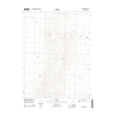
 2012 Chase Spring2012 Print · USGSCovers Elaine (site), including Elko County, United States, and other nearby areas
 - 2015 Map of Chase Spring, 2015 Print
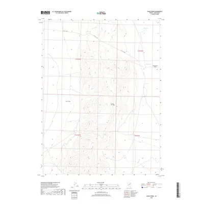
 2015 Chase Spring2015 Print · USGSCovers Elaine (site), including Elko County, United States, and other nearby areas
 - 2018 Map of Chase Spring, 2018 Print
 2018 Chase Spring2018 Print · USGSCovers Elaine (site), including Elko County, United States, and other nearby areas
 - 2021 Map of Chase Spring, 2021 Print
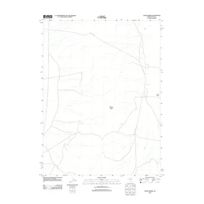
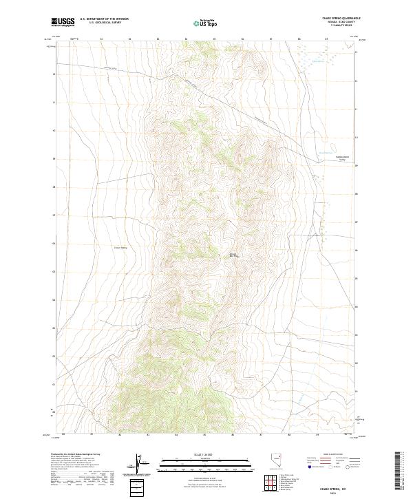 2021 Chase Spring2021 Print · USGSElko County high-desert terrain is captured here in the early twenty-first century, centered on the prominent Spruce Mtn Ridge. Researchers can trace the historic route of the Hastings Cutoff as it passes near vital water sources like Chase Spring and Mound Springs.
End of results
Showing maps 1-11 of 11
Frequently asked questions
- What are the different types of historical maps available for Elaine (site)?
- What is the oldest map of Elaine (site)?
- Where can I purchase historical maps of Elaine (site) for my home or office?
- Where can I download high-res historical maps of Elaine (site)?
- Are there historical topographic maps available for Elaine (site)?
- Is there historical aerial imagery available for Elaine (site)?
- Where are historical maps of Elaine (site) sourced from?