Old Maps of Ferguson Springs, Nevada for Metal Detecting
Plan your next treasure hunt with 10 historic maps of Ferguson Springs. Find old homesites, ghost towns, trails, and gathering spots that may be lost to time — perfect for identifying promising metal detecting locations.
- Locate forgotten sites: Uncover places like long-lost settlements, abandoned rail lines, or gathering spots.
- Plan better hunts: Use map overlays combined with LiDAR or satellite views to narrow in on historically rich areas.
- Made for detectorists: Thousands of hobbyists use these maps to discover relics, coins, and hidden history.
Use these historic maps to boost your research and find new opportunities beneath the surface of Ferguson Springs.
Ferguson Springs, NV maps
(10)- 1955 Map of Elko, 1974 Print
 1955 Elko1974 Print · USGSNortheastern Nevada in the mid-fifties is captured here as a crossroads of transcontinental rail and high desert ranching. Trace old rail stops from Wells to Elko or find remote landmarks like Shanty Town and Medicine Spring.3 unique versions available
 - 1958 Map of Elko
 1958 Elko1958 Print · USGSNorthern Nevada in the late fifties shows a landscape of high-desert ranching and Cold War aviation. Trace old rail lines like the Nevada Northern or locate the Victoria Mine and Wendover Air Force Base.2 unique versions available
 - 1962 Map of Elko
 1962 Elko1962 Print · USGSNortheastern Nevada in the early sixties is a landscape of mountain ranges and rail corridors, where the river valleys support ranching and transit. Locate old mining operations like Battle Creek Mine, rural stops like Moleen, and the sprawling Wendover Bombing and Gunnery Range.
 - 1965 Map of Elko
 1965 Elko1965 Print · USGSElko and the northeastern Nevada desert are captured here in the mid-1960s, showcasing a landscape of high ranges and essential rail corridors. Researchers can trace the path of the Western Pacific railroad through small stops like Tobar and Ventosa, or locate remote sites like Shanty Town near the Ruby Lake wetlands.
 - 1972 Map of Ferguson Mtn., 1975 Print
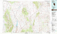
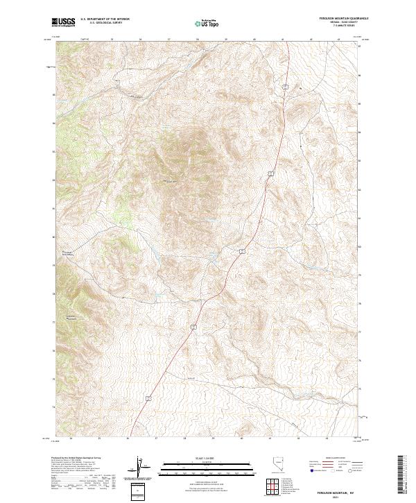
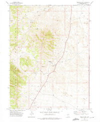 1972 Ferguson Mtn.1975 Print · USGSElko County's high-altitude range is mapped here during the early seventies, showing a landscape of ranching and mining. Trace the remote network of Jeep Trails leading to the Dead Cedar Mine, Felt Corral, and Ferguson Springs.2 unique versions available
 - 1987 Map of Currie
 1987 Currie1987 Print · USGSElko County at the end of the 1980s reveals a vast basin-and-range landscape centered on the remote outpost of Currie. Genealogists and historians can trace the Nevada Northern rail line, identify family-named water sources like Boone Spring, and locate the Goshute Indian Reservation boundary.
 - 2012 Map of Ferguson Mountain, 2012 Print
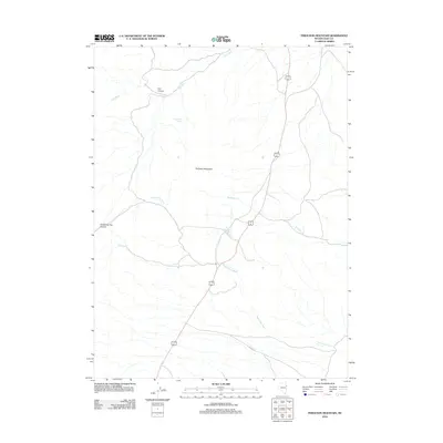 2012 Ferguson Mountain2012 Print · USGSCovers Ferguson Springs, including Elko County, United States, and other nearby areas
 - 2014 Map of Ferguson Mountain, 2014 Print
 2014 Ferguson Mountain2014 Print · USGSCovers Ferguson Springs, including Elko County, United States, and other nearby areas
 - 2018 Map of Ferguson Mountain, 2018 Print
 2018 Ferguson Mountain2018 Print · USGSCovers Ferguson Springs, including Elko County, United States, and other nearby areas
 - 2021 Map of Ferguson Mountain, 2021 Print
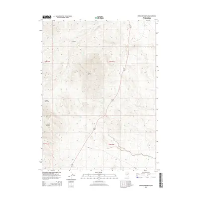
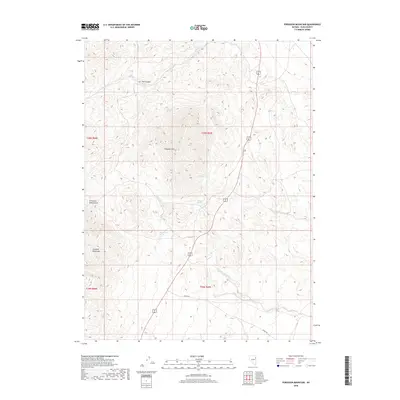
 2021 Ferguson Mountain2021 Print · USGSHigh-desert terrain in eastern Nevada is documented here during the early 2020s. Researchers can trace remote water sources like Ferguson Springs and Little Mud Spring or navigate the routes of Alt 93 and Ibapah Rd.
End of results
Showing maps 1-10 of 10
Frequently asked questions
- What are the different types of historical maps available for Ferguson Springs?
- What is the oldest map of Ferguson Springs?
- Where can I purchase historical maps of Ferguson Springs for my home or office?
- Where can I download high-res historical maps of Ferguson Springs?
- Are there historical topographic maps available for Ferguson Springs?
- Is there historical aerial imagery available for Ferguson Springs?
- Where are historical maps of Ferguson Springs sourced from?