Old Maps of Williams Cabin, Nevada for Metal Detecting
Plan your next treasure hunt with 11 historic maps of Williams Cabin. Find old homesites, ghost towns, trails, and gathering spots that may be lost to time — perfect for identifying promising metal detecting locations.
- Locate forgotten sites: Uncover places like long-lost settlements, abandoned rail lines, or gathering spots.
- Plan better hunts: Use map overlays combined with LiDAR or satellite views to narrow in on historically rich areas.
- Made for detectorists: Thousands of hobbyists use these maps to discover relics, coins, and hidden history.
Use these historic maps to boost your research and find new opportunities beneath the surface of Williams Cabin.
Williams Cabin, NV maps
(11)- 1935 Map of Charleston
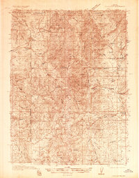 1935 Charleston1935 Print · USGSElko County ranching and mining country comes alive in this mid-1930s survey of the high Nevada desert. Genealogists and historians can trace family homesteads like Mendive Ranch and Guerrricabita Ranch, or locate old operations such as Mc Knights Placer Mine.5 unique versions available
 - 1942 Map of Mt. Velma
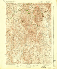 1942 Mt. Velma1942 Print · USGSElko County ranching and mining life are recorded here as they existed prior to the Second World War. Genealogists and historians can locate family holdings like the Guerricabeitia Ranch, the remote Bryan Sch, and McKnights Placer Mine.2 unique versions available
 - 1955 Map of Wells, 1966 Print
 1955 Wells1966 Print · USGSNortheastern Nevada's high basin-and-range country is documented here in the mid-fifties, showing a landscape of remote ranching outposts and massive federal forest lands. Researchers can locate the early mining districts at Delano Mines and trace the paths of the Southern Pacific railroad through settlements like Deeth and Cobre.4 unique versions available
 - 1958 Map of Wells
 1958 Wells1958 Print · USGSNortheastern Nevada's high desert and mountain ranges are documented here in the late fifties as the regional rail and ranching economy thrived. Genealogists and historians can trace the paths of the Southern Pacific railroad to remote stations at Cobre and Metropolis, or locate the high-altitude Delno Mines.
 - 1961 Map of Wells
 1961 Wells1961 Print · USGSNortheastern Nevada's high basin and range country is captured here during the early sixties, showing the vital rail corridors and ranching outposts. Researchers can trace the heritage of remote settlements like Metropolis, locate the Delano Mines, and follow the path of the Southern Pacific through the Pequop Mountains.
 - 1981 Map of Jarbidge Mts
 1981 Jarbidge Mts1981 Print · USGSThe high desert and mountain peaks of northern Elko County are captured here in the early eighties. Researchers can trace remote settlements like Jarbidge, identify mining sites such as the Rio Tinto Mine, and locate the Gold Creek Ranger Sta.3 unique versions available
 - 1986 Map of Cornwall Mountain, 1987 Print
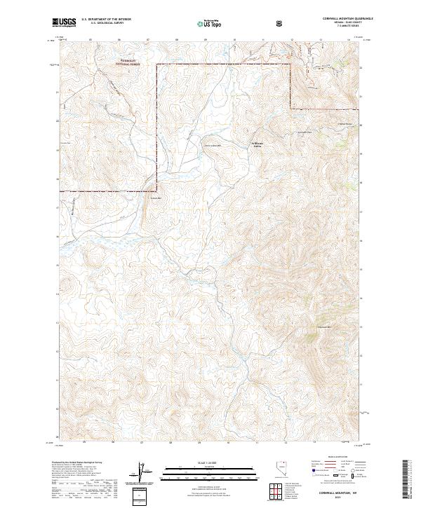
 1986 Cornwall Mountain1987 Print · USGSElko County’s high country is documented in the mid-eighties just as modern mapping standards were being applied to this mining and forest landscape. Researchers can trace historic mineral extraction at the St Elmo Mine or locate remote landmarks like the Landing Strip and Penrod.
 - 2012 Map of Cornwall Mountain, 2012 Print
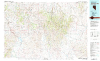
 2012 Cornwall Mountain2012 Print · USGSCovers Williams Cabin, including Elko County, United States, and other nearby areas
 - 2014 Map of Cornwall Mountain, 2014 Print
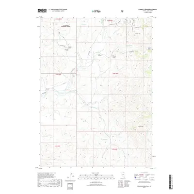
 2014 Cornwall Mountain2014 Print · USGSCovers Williams Cabin, including Elko County, United States, and other nearby areas
 - 2018 Map of Cornwall Mountain, 2018 Print
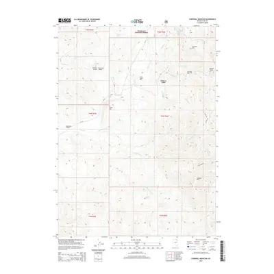
 2018 Cornwall Mountain2018 Print · USGSCovers Williams Cabin, including Elko County, United States, and other nearby areas
 - 2021 Map of Cornwall Mountain, 2021 Print
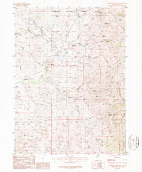
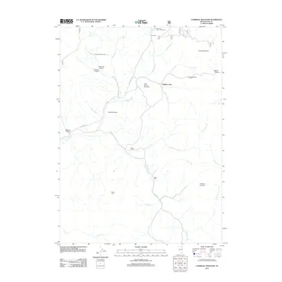
 2021 Cornwall Mountain2021 Print · USGSElko County's high-country terrain is documented here in the early twenty-first century, showing the drainage patterns and peaks of the Ichabod Range. Trace remote mountain landmarks and water sources like Williams Cabin, Cornwall Pass, and Buster Spring.
End of results
Showing maps 1-11 of 11
Frequently asked questions
- What are the different types of historical maps available for Williams Cabin?
- What is the oldest map of Williams Cabin?
- Where can I purchase historical maps of Williams Cabin for my home or office?
- Where can I download high-res historical maps of Williams Cabin?
- Are there historical topographic maps available for Williams Cabin?
- Is there historical aerial imagery available for Williams Cabin?
- Where are historical maps of Williams Cabin sourced from?