1970s Maps of Eureka County, Nevada
Explore 6 historic maps of Eureka County from the 1970s. These maps offer a rare glimpse into what life looked like during the 1970s — showing old roads, neighborhoods, homes, and landmarks that have changed or disappeared over time.
Whether you're researching your family's past, planning a metal detecting trip, or studying how Eureka County's landscape evolved across the 1970s, these high-resolution maps are a powerful tool for exploring the history of this region.
- Focus on a specific era: All maps on this page are from the 1970s, giving you a focused view of this time period.
- See what’s changed: Compare century-old streets, trails, and buildings to today's modern landscape using overlays and satellite layers.
- Research with precision: Use these maps for genealogy, historical research, land use analysis, or educational projects.
- View, download, or print: Maps are fully viewable online in high resolution, and can be downloaded or printed for your own records.
Start exploring Eureka County's history through authentic maps from the 1970s. This is your window into the past.
Eureka County, NV maps
(6)- 1970 Map of Santa Renia Fields, 1974 Print
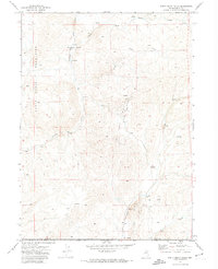 1970 Santa Renia Fields1974 Print · USGSElko County’s high-desert mining landscape is captured here during the early seventies, spanning the border into Eureka County. Researchers can trace the industrial footprint of the Rossi Mine and Bootstrap Mine or follow the route of The Grade.
 - 1970 Map of Beaver Peak, 1974 Print
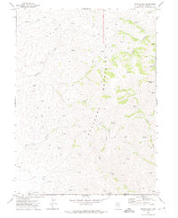 1970 Beaver Peak1974 Print · USGSHigh in the Tuscarora Mountains during the early seventies, this survey captures a remote landscape of ranching and mining. Researchers can trace old Jeep Trails to isolated Ruins, scattered Corral sites, and a lone Prospect in Little Boulder Basin.
 - 1970 Map of Beaver Creek, 1974 Print
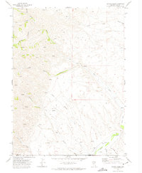 1970 Beaver Creek1974 Print · USGSHigh-desert ranching and water rights define this corner of Elko County during the early seventies. Researchers can trace the remote Jeep Trails and seasonal Springs that supported the Red House Ranch and surrounding South Field.
 - 1978 Map of Summit Mountain
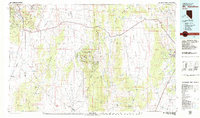
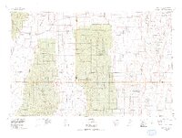 1978 Summit Mountain1978 Print · USGSCentral Nevada's high basins and rugged ranges are captured here in the late seventies, showing the meeting of Lander, Eureka, and Nye counties. Trace mining history at sites like the Lowboy Mine, Angelo Belli Mine, and White Cloud Mine.
 - 1979 Map of Mt. Hamilton
 1979 Mt. Hamilton1979 Print · USGSWhite Pine County's high-desert mining and ranching corridors are captured in the late 1970s, from the basins of Newark Valley to the Egan Range. Researchers can trace the legacies of the silver boom at Hamilton and locate operations like the Treasure Hill Mine or the Belmont Mill.2 unique versions available
 - 1979 Map of Simpson Park Mtns
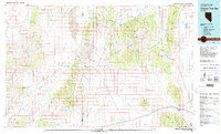 1979 Simpson Park Mtns1979 Print · USGSCentral Nevada's high desert basins and mountain ranges come alive in this late-seventies survey of the Lander and Eureka county line. Researchers can locate remote industrial and water features like the Lone Mountain Mine, Hot Springs, and a secluded Landing Field.2 unique versions available
End of results
Showing maps 1-6 of 6
Top cities of Eureka County
Frequently asked questions
- What are the different types of historical maps available for Eureka County?
- What is the oldest map of Eureka County?
- Where can I purchase historical maps of Eureka County for my home or office?
- Where can I download high-res historical maps of Eureka County?
- Are there historical topographic maps available for Eureka County?
- Is there historical aerial imagery available for Eureka County?
- Where are historical maps of Eureka County sourced from?