2000s (21st Century) Maps of Eureka County, Nevada
Explore 370 historic maps of Eureka County from the 2000s (21st Century). These maps offer a rare glimpse into what life looked like during the 2000s — showing old roads, neighborhoods, homes, and landmarks that have changed or disappeared over time.
Whether you're researching your family's past, planning a metal detecting trip, or studying how Eureka County's landscape evolved across the 2000s, these high-resolution maps are a powerful tool for exploring the history of this region.
- Focus on a specific era: All maps on this page are from the 2000s, giving you a focused view of this time period.
- See what’s changed: Compare century-old streets, trails, and buildings to today's modern landscape using overlays and satellite layers.
- Research with precision: Use these maps for genealogy, historical research, land use analysis, or educational projects.
- View, download, or print: Maps are fully viewable online in high resolution, and can be downloaded or printed for your own records.
Start exploring Eureka County's history through authentic maps from the 2000s. This is your window into the past.
Eureka County, NV maps
(370)- 2012 Map of Bailey Pass, 2012 Print
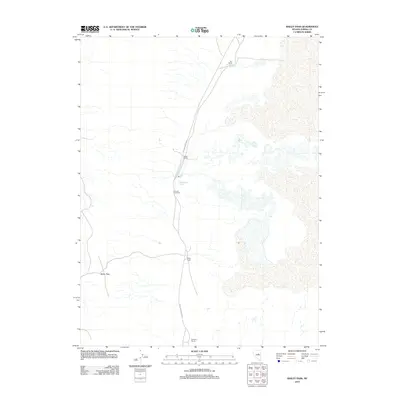 2012 Bailey Pass2012 Print · USGSEureka County ranching life in the early twenty-first century is centered on remote springs and desert passes. Genealogists and local historians can locate legacy holdings like Sadler Ranch and Siri Ranch or find the site of the Romano Post Office.
 - 2012 Map of West of Bellevue Peak, 2012 Print
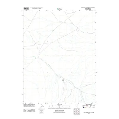 2012 West of Bellevue Peak2012 Print · USGSEureka County ranch lands are documented here in the early twenty-first century, showing the remote high-desert infrastructure of central Nevada. Researchers can trace historic ranch access roads and water features like Fish Creek-Ardan Rnch, Davis Canyon, and Fenstermaker Wash.
 - 2012 Map of Spring Valley Summit, 2012 Print
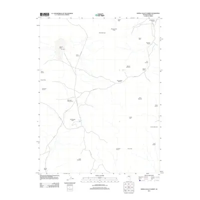 2012 Spring Valley Summit2012 Print · USGSThe high Nevada desert in Eureka County is captured here in the early twenty-first century, showing a landscape of isolated peaks and vital water sources. Researchers can trace the paths of old roads like Spring Vly to landmarks such as McCulloughs Spring and Spring Valley Summit.
 - 2012 Map of West of Diamond Springs, 2012 Print
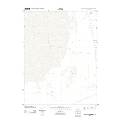 2012 West of Diamond Springs2012 Print · USGSThe Nevada desert landscape of Eureka County is recorded here in the early 2010s, showing the critical water sources of the Great Basin. Researchers can trace the terrain from Diamond Valley up into Rock Canyon or locate the historic Diamond Springs.
 - 2012 Map of Diamond Peak, 2012 Print
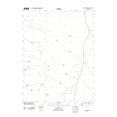 2012 Diamond Peak2012 Print · USGSWhite Pine County ranching and mining country is captured here during the early twenty-first century. Researchers can trace family landholdings at Stinson Ranch and Ratto Ranch or locate industrial sites like Newark Mill near Mining Canyon.
 - 2012 Map of Combs Peak, 2012 Print
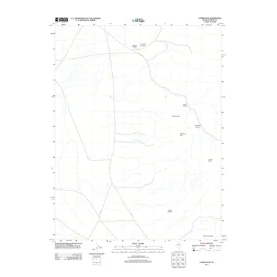 2012 Combs Peak2012 Print · USGSEureka County at the start of the decade is defined by its dramatic Great Basin topography and sparse desert routes. Trace the winding paths of Bob Brown or Ardan Wl to remote landmarks like Combs Peak and Table Mountain.
 - 2012 Map of West of Whistler Mountain, 2012 Print
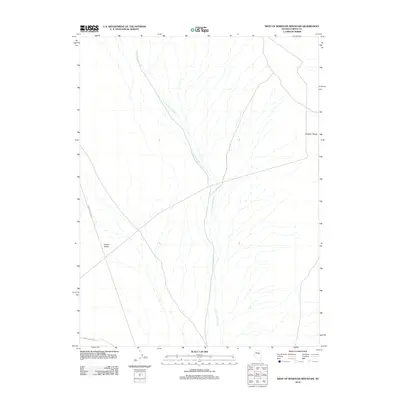 2012 West of Whistler Mountain2012 Print · USGSEureka County at the start of the decade reveals a landscape of high-desert basins and rugged ridgelines. Researchers can trace the path of U'ans-in-dame Creek as it flows toward Kobeh Valley or follow remote routes like 3 Bar To Lone Mtn.
 - 2012 Map of Three Bar Ranch, 2012 Print
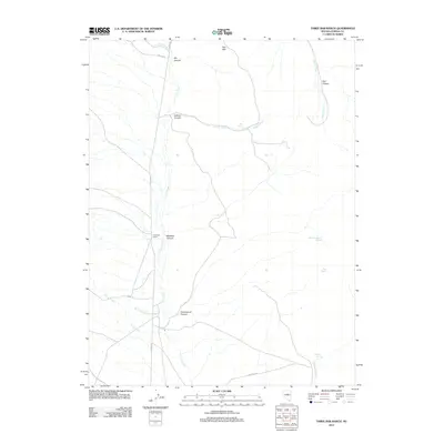 2012 Three Bar Ranch2012 Print · USGSEureka County ranching country is mapped here in the early twenty-first century, showing the remote high-desert terrain of central Nevada. Researchers can trace the water rights and land use of the period through features like Three Bar Ranch, Jack Spring, and Coils Creek.
 - 2012 Map of Bean Flat East, 2012 Print
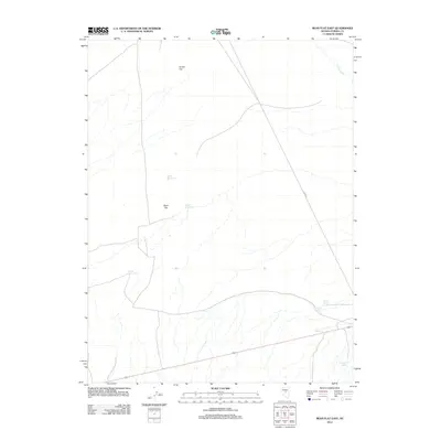 2012 Bean Flat East2012 Print · USGSEureka County's high desert landscape is documented here in the early twenty-first century, showing a terrain defined by sparse water and wide-open flats. Researchers can trace the essential network of desert water sources like Twin Springs and Shamrock Spring along 3 Bars Rd.
 - 2012 Map of North of Eureka, 2012 Print
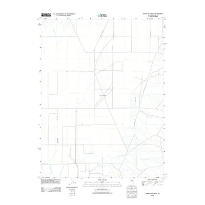 2012 North of Eureka2012 Print · USGSDiamond Valley in the early twenty-first century reveals a structured landscape of high-desert basins and foothill drainages. Genealogists and local historians can trace family-named watercourses like Minoletti Creek and Pedrioli Creek or follow the grid along Java 101.
 - 2012 Map of Tule Dam Spring, 2012 Print
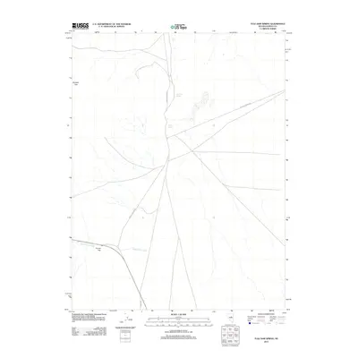 2012 Tule Dam Spring2012 Print · USGSEureka County at the turn of the 21st century remains a landscape of remote water sources and high-desert passes. Researchers can trace historic travel corridors like Whistler and find natural landmarks including Tule Dam Spring and Tyrone Gap.
 - 2012 Map of Whistler Mountain, 2012 Print
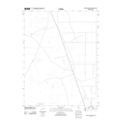 2012 Whistler Mountain2012 Print · USGSEureka County at the start of the decade shows a landscape defined by high-altitude peaks and essential desert water sources. Researchers can trace historical ranching and transit via Stinking Spring, Railroad Spring, and the terrain of Whistler Mountain.
 - 2012 Map of Moody Peak NW, 2012 Print
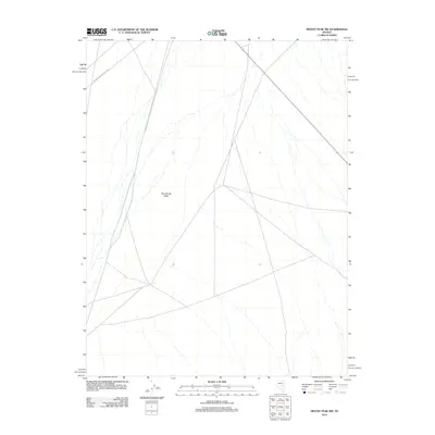 2012 Moody Peak NW2012 Print · USGSNye County ranching country and the arid reaches of the Great Basin are captured here in the early twenty-first century. Researchers can trace the Fish Crk Ranch-Nye Cty Line and follow the path of Route 379 through the Little Smoky Valley.
 - 2012 Map of Bartine Ranch NE, 2012 Print
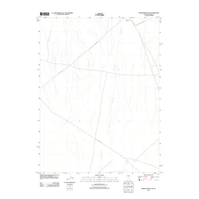 2012 Bartine Ranch NE2012 Print · USGSEureka County ranching and frontier transit are preserved in this 2012 survey of the Nevada desert. Trace the historic route of the Pony Express Trl and find local landmarks like Roberts Creek Ranch and Mud Spring.
 - 2012 Map of West of Railroad Pass, 2012 Print
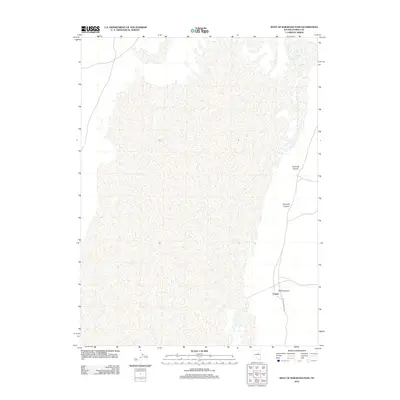 2012 West of Railroad Pass2012 Print · USGSEureka County is shown here in the early 2010s, focused on the high-desert landscapes west of Railroad Pass. You can trace the small settlement at Corwin and follow the routes through Davis Canyon and along the Eureka-Thompson S road.
 - 2012 Map of Pinto Summit SW, 2012 Print
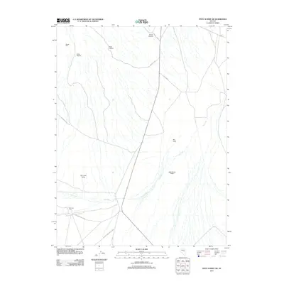 2012 Pinto Summit SW2012 Print · USGSThe high desert of White Pine County is captured here in the early twenty-first century, showcasing the intersection of remote ranching and mountain terrain. Researchers can trace the legacy of local land use through Fish Creek Ranch and the old route to Windfall Mine.
 - 2012 Map of Bellevue Peak, 2012 Print
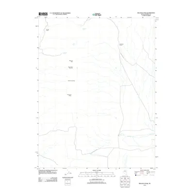 2012 Bellevue Peak2012 Print · USGSHigh in the Nevada desert during the early twenty-first century, this map shows a landscape defined by vital water sources and steep peaks. Researchers can locate remote family landmarks like Dave Keane Mountain and Marteletti Spring or trace the route of the Fish Creek-Ardan Rnch.
 - 2012 Map of Garcia Flat, 2012 Print
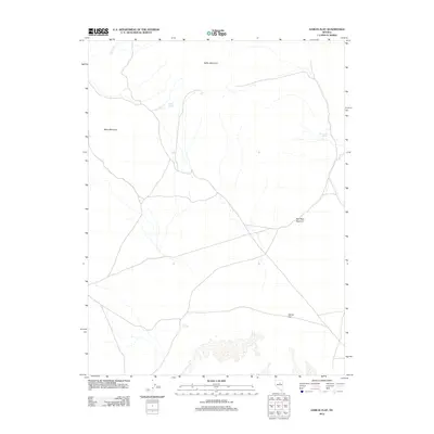 2012 Garcia Flat2012 Print · USGSElko County’s high desert landscape appears in the early twenty-first century as a network of isolated water sources and mountain passes. Trace the geography of the Great Basin through vital landmarks like Bailey Spring, Red Rock Summit, and the broad expanse of Garcia Flat.
 - 2012 Map of Garden Pass, 2012 Print
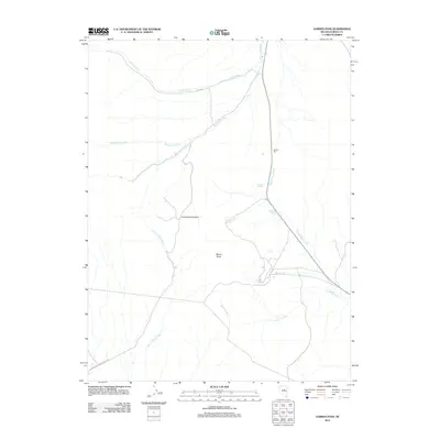 2012 Garden Pass2012 Print · USGSEureka County's high desert terrain is captured here in the early 2010s, showing the critical water sources and passes of the Nevada interior. Researchers can trace historical routes over Henderson Summit and locate remote springs like McBrides Spring and Garden Spring.
 - 2012 Map of Christina Peak, 2012 Print
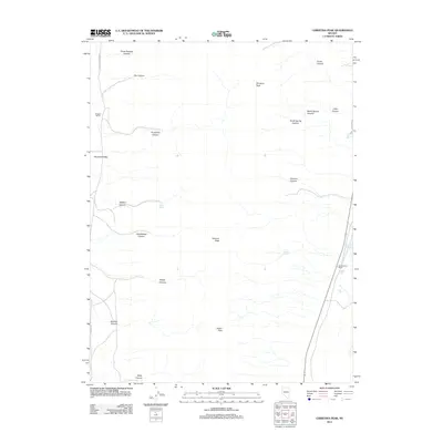 2012 Christina Peak2012 Print · USGSWhite Pine County ranching and rugged high-desert terrain are documented here in the early twenty-first century. Researchers can trace land use at Maggini Ranch and locate remote water sources like Potato Spring and Minoletti Spring.
 - 2012 Map of Roberts Creek Mountain, 2012 Print
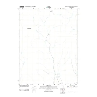 2012 Roberts Creek Mountain2012 Print · USGSEureka County ranching lands and high-mountain drainages are documented here in the early twenty-first century. Researchers can trace the water systems and seasonal settlements between Roberts Creek Mountain and Roberts Creek Ranch, including Summer Camp and the Roberts Creek Reservoir.
 - 2012 Map of Bartine Ranch NW, 2012 Print
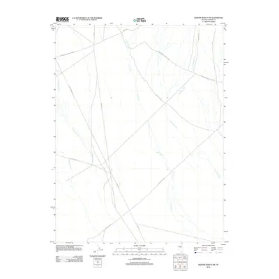 2012 Bartine Ranch NW2012 Print · USGSEureka County's high-desert ranching country is shown here in the early twenty-first century, crisscrossed by historic and modern transport lines. Trace the path of the Pony Express Trl or locate ranching hubs like Ferguson Rnch and Roberts Creek-Santa Fe Rnch.
 - 2012 Map of Diamond Springs, 2012 Print
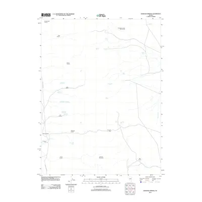 2012 Diamond Springs2012 Print · USGSWhite Pine County ranching and mining operations are captured here during the early 2010s. Researchers can locate the historical Thompson Ranch and trace the Echemendy mining claims from Echemendy Number Five to the Overland Pass.
 - 2012 Map of Frazier Creek, 2012 Print
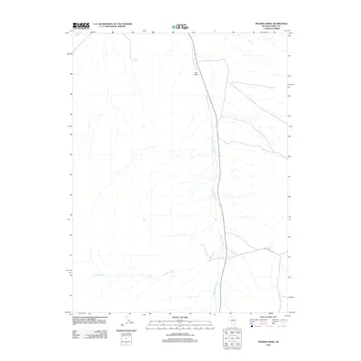 2012 Frazier Creek2012 Print · USGSEureka County at the start of the 2010s reveals a high-desert landscape shaped by seasonal water and mountain transit. Researchers can trace the drainage of Henderson Creek or locate the remote sites of Pine Field and McCloud Spring.
 - 2012 Map of Rattlesnake Mountain, 2012 Print
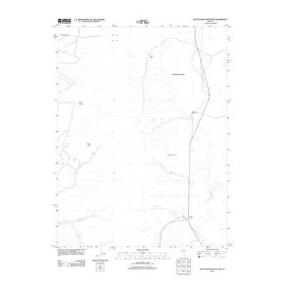 2012 Rattlesnake Mountain2012 Print · USGSWhite Pine County ranching life in the early 21st century is centered on these high-desert slopes and seasonal drainages. Researchers can trace the local water sources and landholdings like Strawberry Ranch, Willow Spring, and Mau Creek.
Showing maps 1-25 of 370
Top cities of Eureka County
Frequently asked questions
- What are the different types of historical maps available for Eureka County?
- What is the oldest map of Eureka County?
- Where can I purchase historical maps of Eureka County for my home or office?
- Where can I download high-res historical maps of Eureka County?
- Are there historical topographic maps available for Eureka County?
- Is there historical aerial imagery available for Eureka County?
- Where are historical maps of Eureka County sourced from?