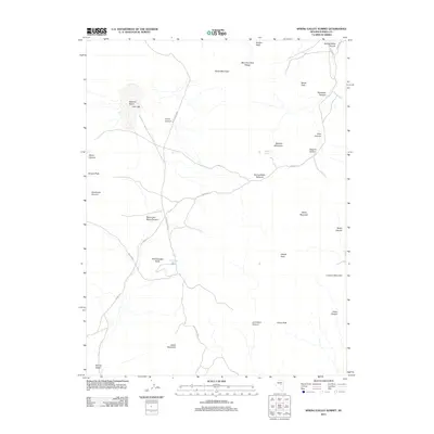
2012 Map of Spring Valley Summit
USGS Topo · Published 2012About this map
McCulloughs Spring and Josephine Spring provide rare water sources in this high-elevation basin within the Mountain Boy Range. The 2012 topography is defined by significant vertical relief, extending from Swiss Mountain and Modoc Peak in the north to Castle Mountain in the south. Centrally, the Spring Valley Summit marks a critical transition point for local routes like the Spring Vly road, which traverses the rugged terrain between Spanish Mountain and Atrypa Peak.
Find a feature on this map
34 named features on this map. Tap any name to fly to it.
Don’t see what you’re looking for? This feature index may not catch every label — zoom into the map to look around manually.
Map Details
Editions of this 2012 Spring Valley Summit Map
This is the sole edition of this map. No revisions or reprints were ever made.
Other maps of this area

1926 · Roberts Mountains
USGS Topo · 1:250,000

1929 · Roberts Mountains
USGS Topo · 1:250,000

1953 · Pinto Summit
USGS Topo · 1:62,500

1953 · Eureka
USGS Topo · 1:62,500

1955 · Millett
USGS Topo · 1:250,000

1956 · Bellevue Peak
USGS Topo · 1:62,500

1956 · Whistler Mtn
USGS Topo · 1:62,500

1956 · Ely
USGS Topo · 1:250,000

1959 · Ely
USGS Topo · 1:250,000

1959 · Millett
USGS Topo · 1:250,000