1980s Maps of Eureka County, Nevada
Explore 62 historic maps of Eureka County from the 1980s. These maps offer a rare glimpse into what life looked like during the 1980s — showing old roads, neighborhoods, homes, and landmarks that have changed or disappeared over time.
Whether you're researching your family's past, planning a metal detecting trip, or studying how Eureka County's landscape evolved across the 1980s, these high-resolution maps are a powerful tool for exploring the history of this region.
- Focus on a specific era: All maps on this page are from the 1980s, giving you a focused view of this time period.
- See what’s changed: Compare century-old streets, trails, and buildings to today's modern landscape using overlays and satellite layers.
- Research with precision: Use these maps for genealogy, historical research, land use analysis, or educational projects.
- View, download, or print: Maps are fully viewable online in high resolution, and can be downloaded or printed for your own records.
Start exploring Eureka County's history through authentic maps from the 1980s. This is your window into the past.
Eureka County, NV maps
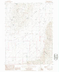
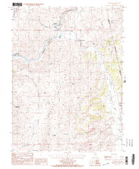
(62)- 1982 Map of Tuscarora, 1983 Print
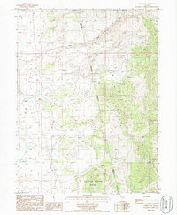
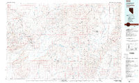 1982 Tuscarora1983 Print · USGSNortheastern Nevada in the early eighties reveals a landscape shaped by mining and high-desert hydrology. Trace the locations of historic extraction sites like Silver Cloud Mine or the Falcon Mines and find remote landmarks such as Hot Sulphur Springs.
 - 1985 Map of Thatcher Spring
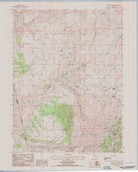
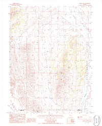
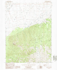
 1985 Thatcher Spring1985 Print · USGSThe Cortez Mountains of central Nevada were a landscape of mineral exploration and high-desert ranching during the mid-1980s. Researchers can locate the Open Pit Modarelli Mines, the Hall Ranch settlement, and named water sources like Thatcher Spring.
 - 1985 Map of Hand-Me-Down Creek
 1985 Hand-Me-Down Creek1985 Print · USGSEureka County ranching and mining land is documented in the 1980s, where the high desert meets the mountains. Trace local history through family-named landmarks like Dewey Dann Ranch, the Hand-me-down Creek drainage, and scattered Prospect sites.
 - 1985 Map of Scotts Gulch
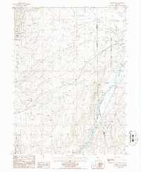
 1985 Scotts Gulch1985 Print · USGSThe Humboldt River corridor in the mid-1980s reveals a high-desert landscape shaped by mineral extraction and historical transit routes. Genealogists and historians can trace mining activity at Barth Mine or follow the route of the Old Calif Tr through the Tuscarora Mountains.
 - 1985 Map of Newark Lake
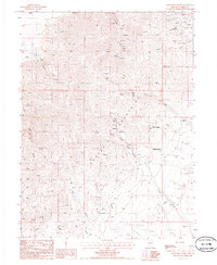
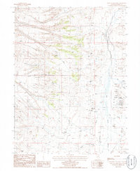
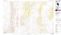 1985 Newark Lake1985 Print · USGSCentral Nevada's high desert reveals its network of remote wells and mining outposts during the mid-1980s. Researchers can locate ranching landmarks like Maple Syrup Well, the historic settlement of Eureka, and industrial sites like the Bay State Mine.
 - 1985 Map of Crescent Valley, 1986 Print
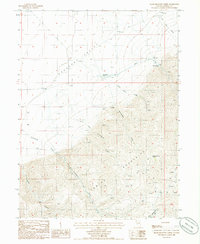
 1985 Crescent Valley1986 Print · USGSIn the mid-1980s, this high-desert valley was a hub of mining exploration and geothermal activity. Genealogists and historians can trace the settlement of Crescent Valley, the local Landing Strip, and numerous Prospect sites near Hot Springs Point.
 - 1985 Map of East of Tenabo, 1986 Print
 1985 East of Tenabo1986 Print · USGSCrescent Valley in the mid-1980s shows a landscape defined by Great Basin ranching and mining. Trace the remote operations at the Mud Spring Mine, the historic Dean Ranch, and the sharp rise of the Cortez Mountains.
 - 1985 Map of The Geysers, 1986 Print
 1985 The Geysers1986 Print · USGSGeothermal and mineral activity dominate the Lander and Eureka county border in the mid-1980s. Researchers can locate remote industrial sites like the Sansinena Mine and trace the thermal features at The Geysers and Hot Springs.
 - 1985 Map of Coffin Mtn, 1986 Print
 1985 Coffin Mtn1986 Print · USGSCentral Nevada ranching and mineral exploration are centered in this mid-1980s survey of the Eureka and Elko county lines. Trace family ranching roots at Slagowski Ranch or locate the numerous Prospects and Hot Springs found throughout the Pinon Range.
 - 1985 Map of Ravens Nest, 1986 Print
 1985 Ravens Nest1986 Print · USGSElko and Eureka counties appear in the mid-1980s as a landscape defined by intensive mineral prospecting and high mountain springs. Researchers can trace a network of named mines like the Standing Elk Mine and Grey Eagle Mine near Lee Canyon.
 - 1985 Map of West of Railroad Pass, 1986 Print
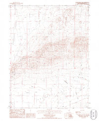
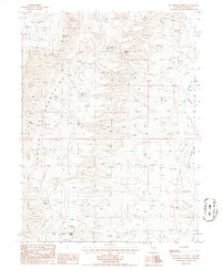
 1985 West of Railroad Pass1986 Print · USGSDiamond Valley in the early 1980s reveals a high-desert landscape defined by its terminal basins and seasonal water sources. Trace the rugged terrain of Davis Canyon or the broad extent of the Alkali Flat where dozens of named springs emerge.
 - 1985 Map of Papoose Canyon, 1986 Print
 1985 Papoose Canyon1986 Print · USGSElko and Eureka counties at the midpoint of the 1980s reveal a landscape of isolated family outposts and high desert ranching. Researchers can trace land use through Rand Ranch and Bailey Ranch, or locate historical activity at Papoose Spring and various mountain Prospects.
 - 1985 Map of Frenchie Flat, 1986 Print
 1985 Frenchie Flat1986 Print · USGSThe high basins and peaks of Eureka County are captured here in the mid-1980s, showcasing a landscape of ranching outposts and mineral exploration. Researchers can locate remote watering holes like Colburn Spring and trace the historic route of the Pony Trail through the mountains.
 - 1985 Map of West of Coffin Mtn, 1986 Print
 1985 West of Coffin Mtn1986 Print · USGSThe high desert of Pine Valley is captured in the mid-1980s as a landscape of remote ranching and active mineral extraction. Local historians can trace the Old Railroad Grade along Pine Creek or locate working landmarks like the Corral and Box Springs.
 - 1985 Map of Tumbleweed Flat, 1986 Print
 1985 Tumbleweed Flat1986 Print · USGSEureka County mineral exploration and desert drainage patterns are captured in the mid-eighties as they appeared in this western basin. Researchers can trace scattered mining Prospect sites and the seasonal flows of Thomas Creek and Sod House Creek.
 - 1985 Map of Garcia Flat, 1986 Print
 1985 Garcia Flat1986 Print · USGSThe Nevada high desert at the border of Elko and Eureka counties is captured here in the mid-1980s, centered on the expanse of Garcia Flat. Researchers can locate remote ranching infrastructure like Garcia Well and mountain crossings at Red Rock Pass.
 - 1985 Map of Palisade, 1986 Print
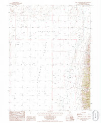
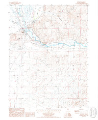
 1985 Palisade1986 Print · USGSThe Humboldt River corridor in the mid-1980s reveals a landscape of high-desert ranching and railroad history. Genealogists and historians can trace the legacy of local families at Tomera Ranch, Thomas Place, and the old townsite of Palisade.2 unique versions available
 - 1985 Map of Sadler Basin, 1986 Print
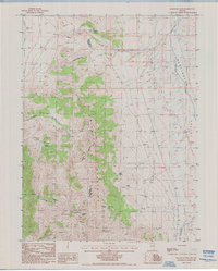
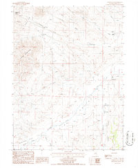
 1985 Sadler Basin1986 Print · USGSThe high-desert terrain of eastern Nevada is documented in the mid-1980s as the Diamond Hills meet the Huntington Valley. Researchers can trace the three-county intersection of Elko, Eureka, and White Pine alongside landmarks like Brown Well and Huntington Creek.
 - 1985 Map of Railroad Pass, 1986 Print
 1985 Railroad Pass1986 Print · USGSThe high desert border of White Pine and Eureka counties comes alive in this mid-eighties record of the Diamond Mountains. Researchers can trace historical paths like the Huntington Trail or locate industrial sites such as the Open Pit Mine near Diamond Peak.
 - 1985 Map of Carlin West, 1986 Print
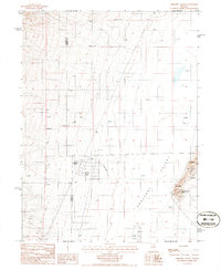
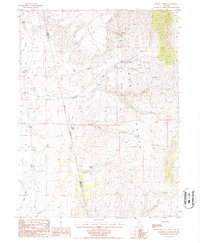
 1985 Carlin West1986 Print · USGSThe high desert of Eureka County during the mid-eighties shows a landscape defined by the Humboldt River and ranching infrastructure. Trace the settlement of Tyrol, find remote water sources like Warm Spring, and locate numerous Prospects tucked into the Pinon Range.
 - 1985 Map of McCormack Spring, 1986 Print
 1985 McCormack Spring1986 Print · USGSThe high ridges of the Nevada desert are captured here in the mid-1980s, showing a landscape defined by isolated ranching and mineral exploration. Genealogists and researchers can trace the locations of Rand Ranch, Cherry Springs, and early mining activity at several Prospect sites.
 - 1986 Map of Cooper Peak
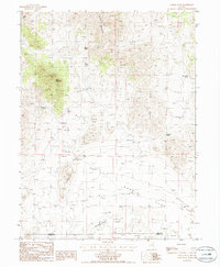
 1986 Cooper Peak1986 Print · USGSThe Roberts Mountains rise above the high-desert range in the mid-eighties, showing a landscape defined by livestock grazing and mineral exploration. Researchers can trace remote mining activity near Cooper Peak or locate the solitary Willow Creek Ranch and its network of mountain springs.
 - 1986 Map of Telegraph Canyon
 1986 Telegraph Canyon1986 Print · USGSEureka County, Nevada, is captured in the mid-1980s as a landscape of remote cattle ranching and persistent mineral exploration. Trace the relationship between water and survival at the Flynn Ranch and historical mining sites like the Old Whalen Mine.
 - 1986 Map of Beowawe
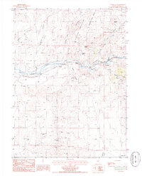
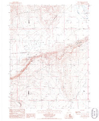
 1986 Beowawe1986 Print · USGSBeowawe and the Humboldt River corridor appear here in the mid-1980s, documenting a landscape of mining and ranching. Genealogists and historians can trace the Horseshoe Ranch, the Red Devil Mine, and a local Cem tucked near the river.
 - 1986 Map of Curlow Flat
 1986 Curlow Flat1986 Print · USGSEureka County ranching and desert hydrology are captured here in the mid-1980s. Researchers can locate specific homestead sites like Knight Ranch and trace the vital water networks of Pine Creek and Potato Patch Spring.
Showing maps 1-25 of 62
Top cities of Eureka County
Frequently asked questions
- What are the different types of historical maps available for Eureka County?
- What is the oldest map of Eureka County?
- Where can I purchase historical maps of Eureka County for my home or office?
- Where can I download high-res historical maps of Eureka County?
- Are there historical topographic maps available for Eureka County?
- Is there historical aerial imagery available for Eureka County?
- Where are historical maps of Eureka County sourced from?