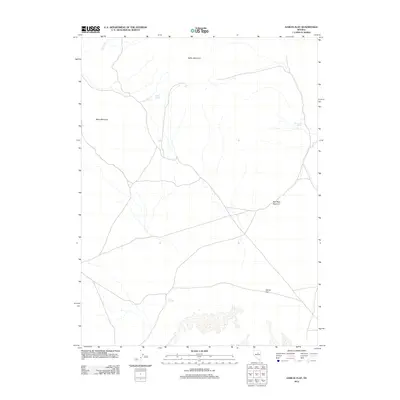
2012 Map of Garcia Flat
USGS Topo · Published 2012About this map
Bailey Mountain and Black Mountain dominate the high terrain of this portion of Elko County, where the landscape is defined by the vital presence of isolated water sources. The map documents several important hydrological features necessary for survival and navigation in this arid environment, including Bailey Spring, The Lumps Spring, and the enigmatically named NT Springs. These water points serve as historical markers for early travel routes through the Great Basin. To the south, the namesake Garcia Flat provides a broad, level expanse beneath the elevation of Red Rock Summit, illustrating the characteristic basin-and-range topography. Transportation and drainage patterns are further defined by the seasonal path of Dry Creek, providing a detailed look at the rural infrastructure and natural landmarks of the region in the early 21st century.
Find a feature on this map
8 named features on this map. Tap any name to fly to it.
Don’t see what you’re looking for? This feature index may not catch every label — zoom into the map to look around manually.
Map Details
Editions of this 2012 Garcia Flat Map
This is the sole edition of this map. No revisions or reprints were ever made.
Other maps of this area

1934 · Jiggs
USGS Topo · 1:125,000

1937 · Mineral Hill
USGS Topo · 1:48,000

1937 · Jiggs
USGS Topo · 1:125,000

1943 · Mineral Hill
USGS Topo · 1:62,500

1952 · Pine Valley
USGS Topo · 1:62,500

1955 · Winnemucca
USGS Topo · 1:250,000

1955 · Elko
USGS Topo · 1:250,000

1956 · Robinson Mtn
USGS Topo · 1:62,500

1958 · Winnemucca
USGS Topo · 1:250,000

1958 · Elko
USGS Topo · 1:250,000